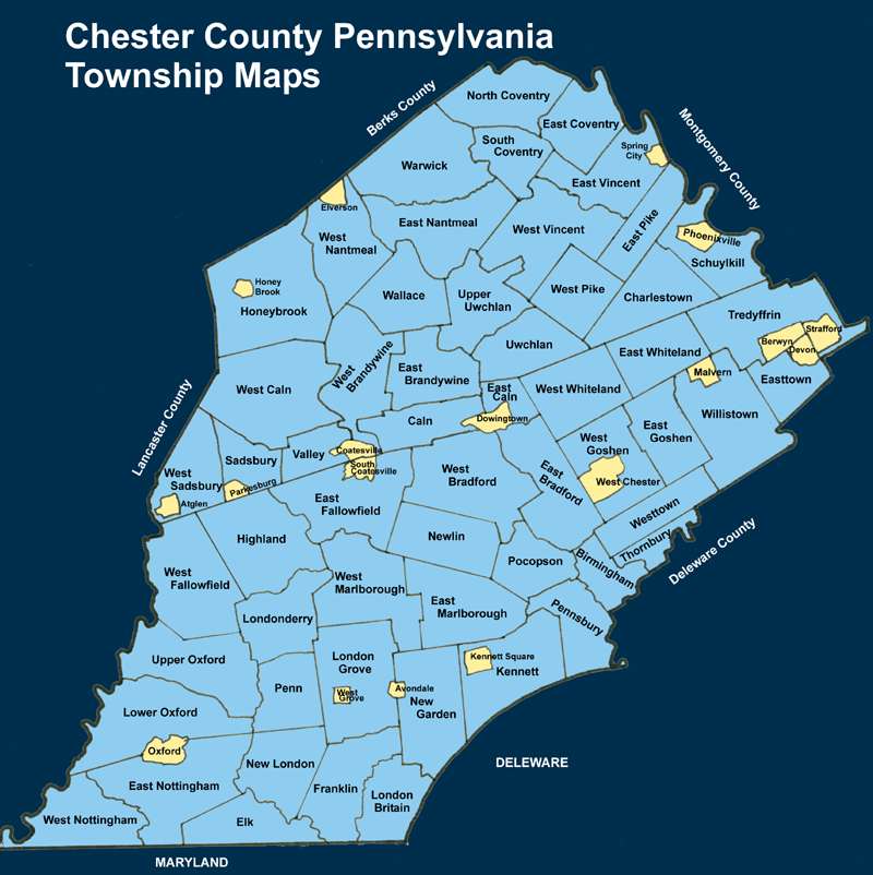
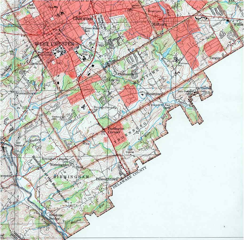
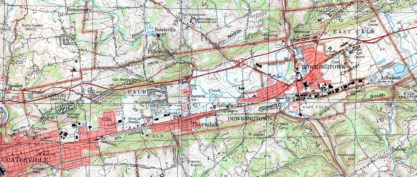
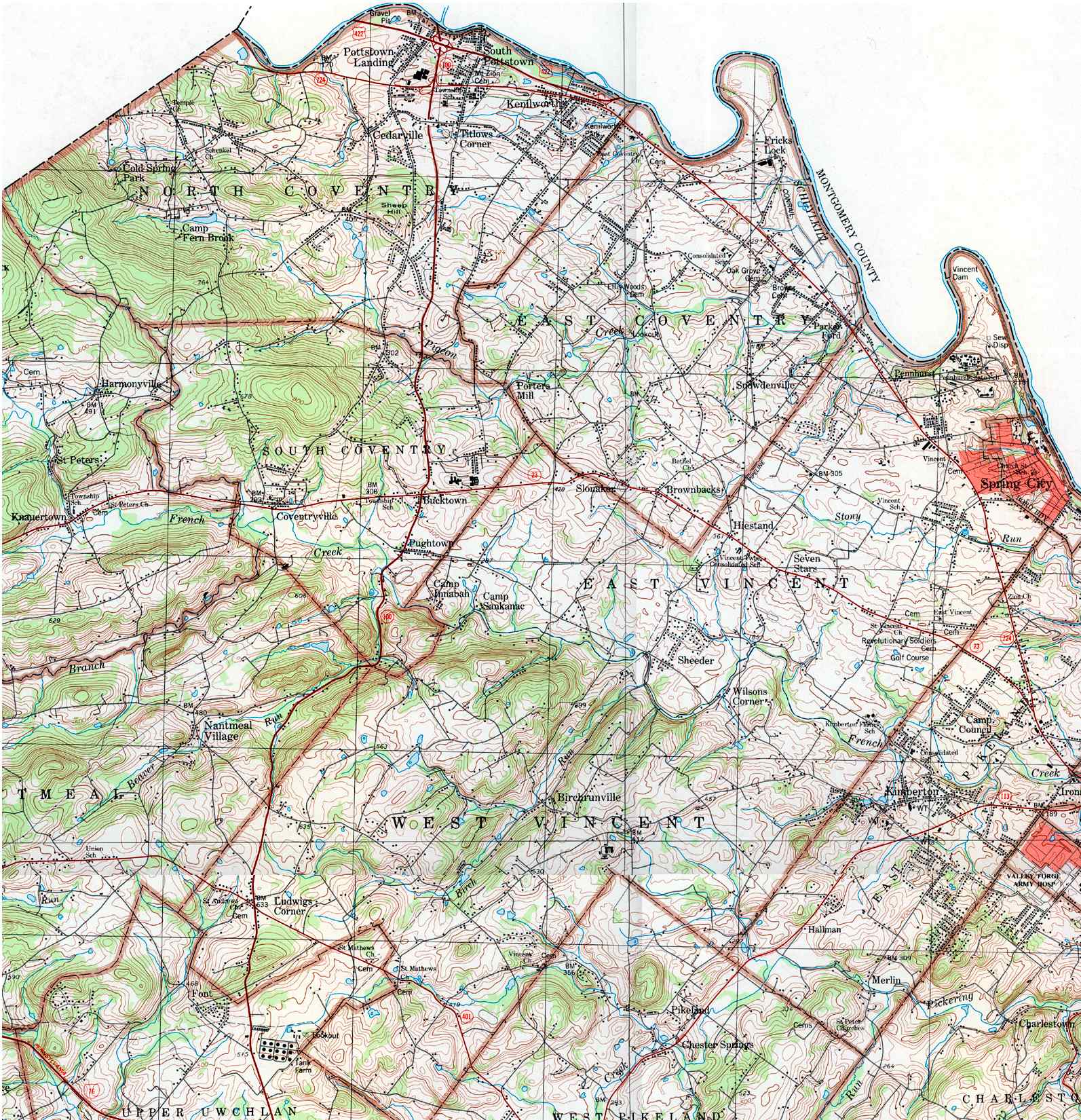
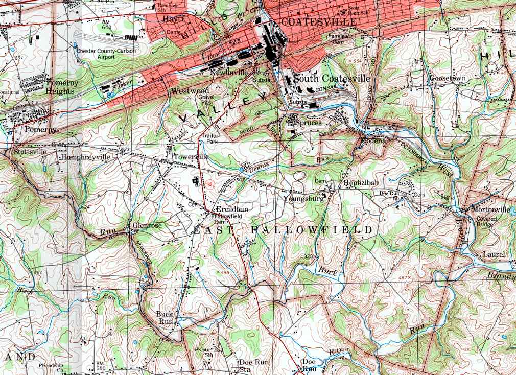
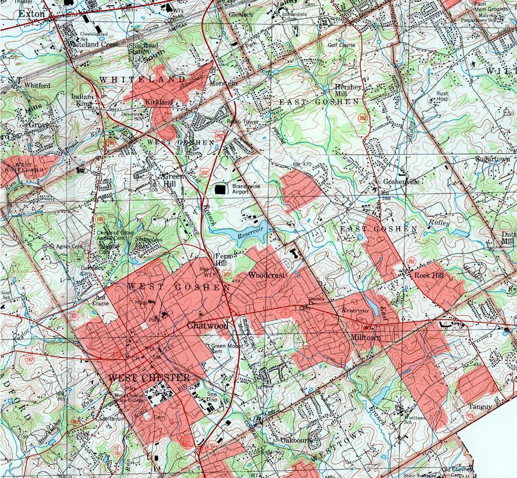
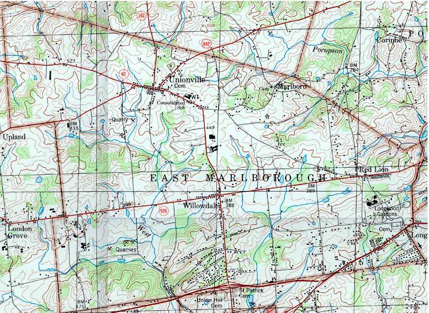
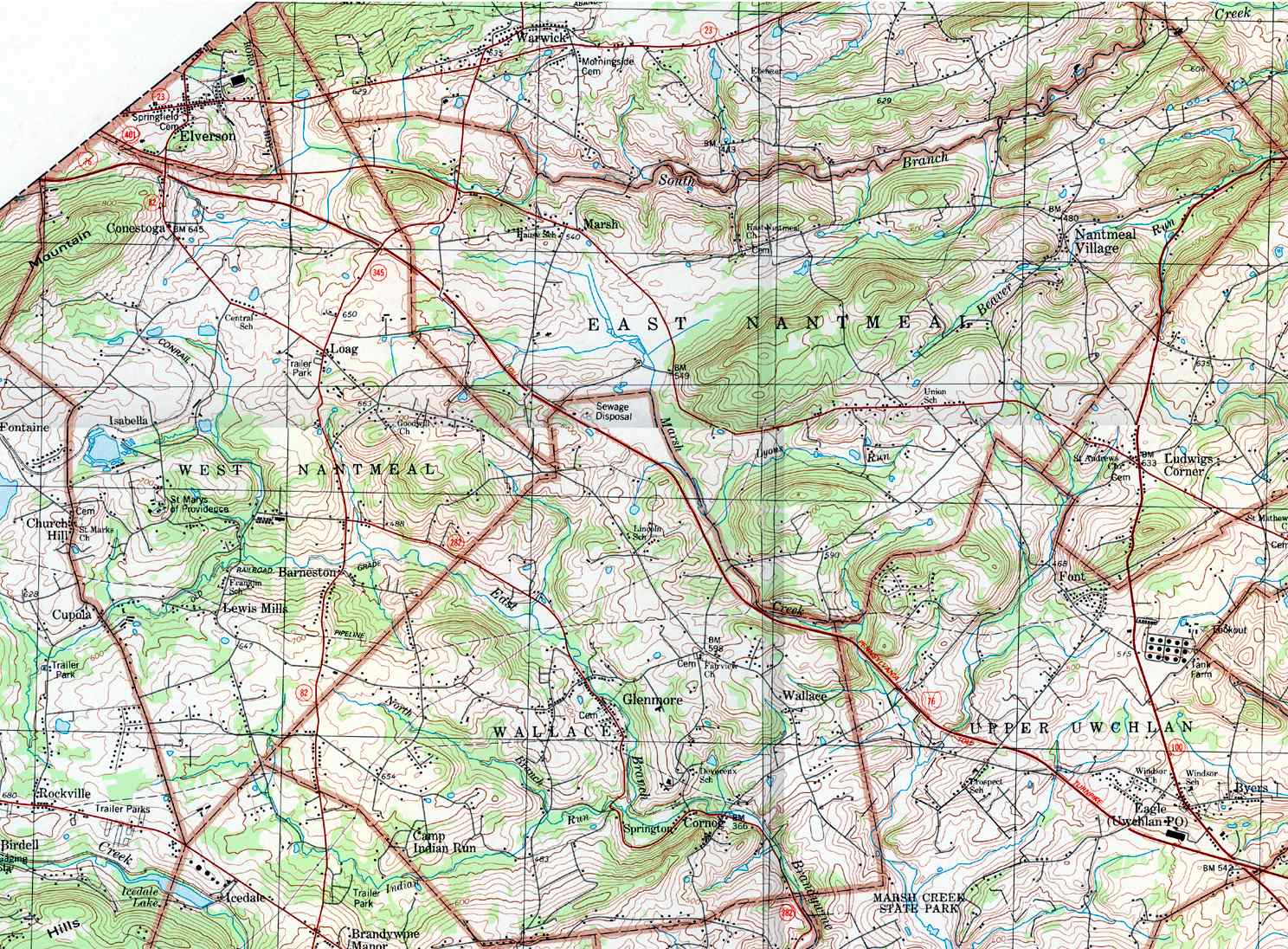
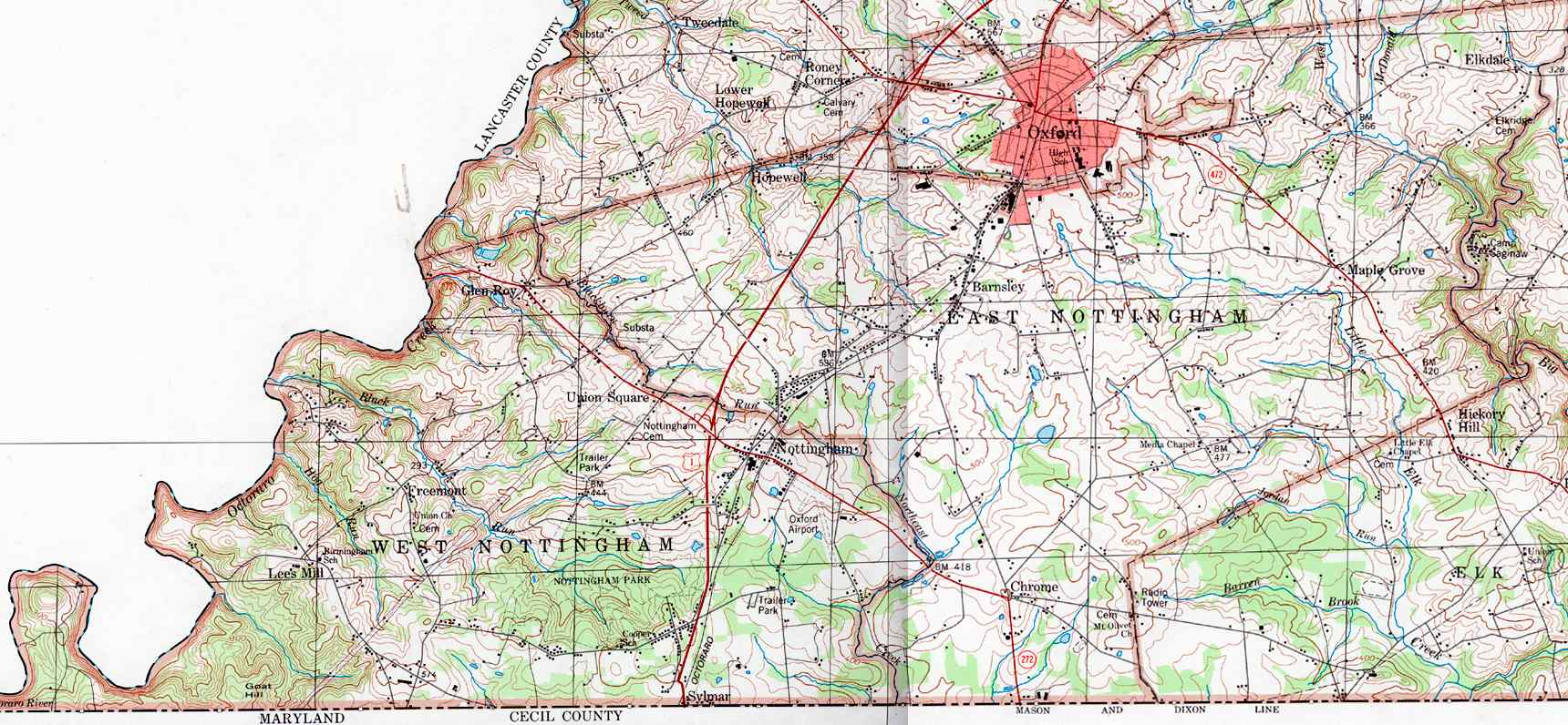
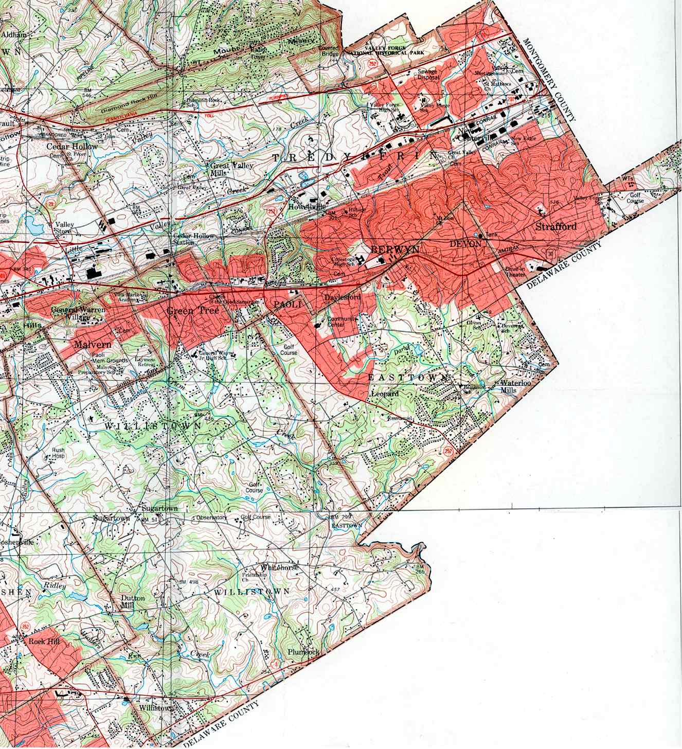
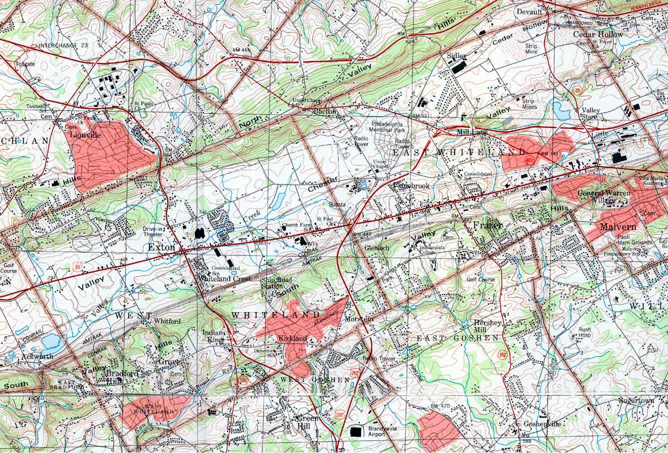
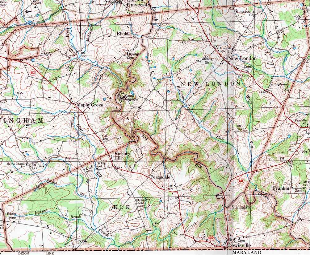
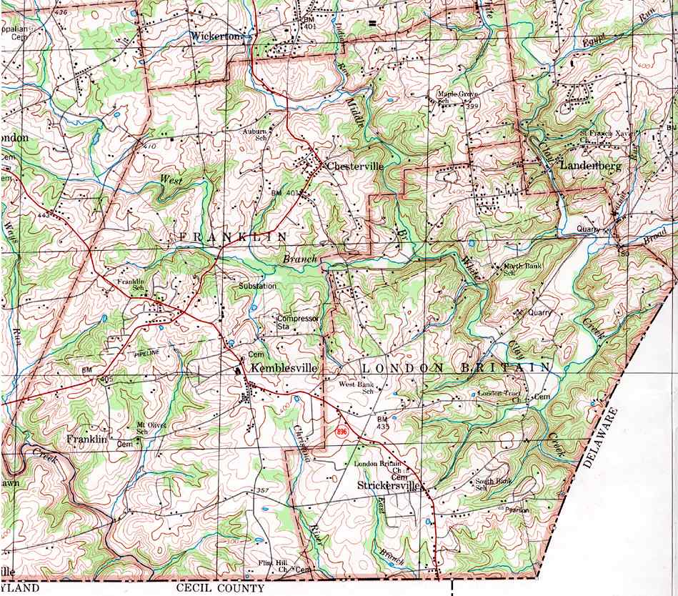
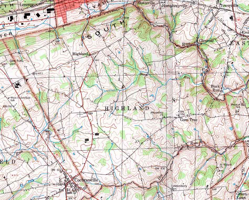
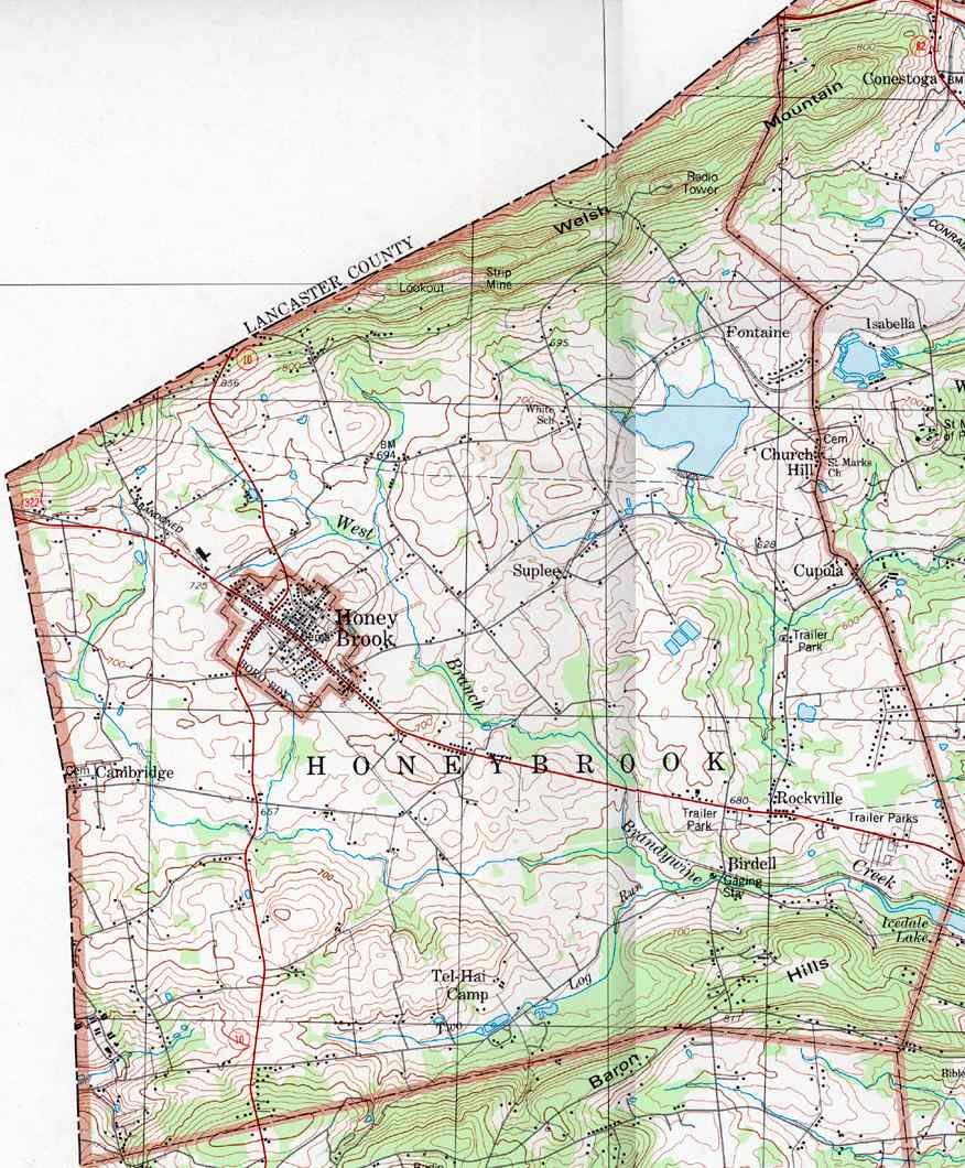
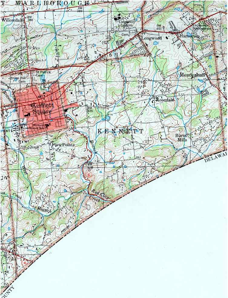
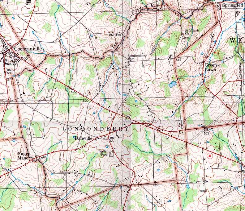
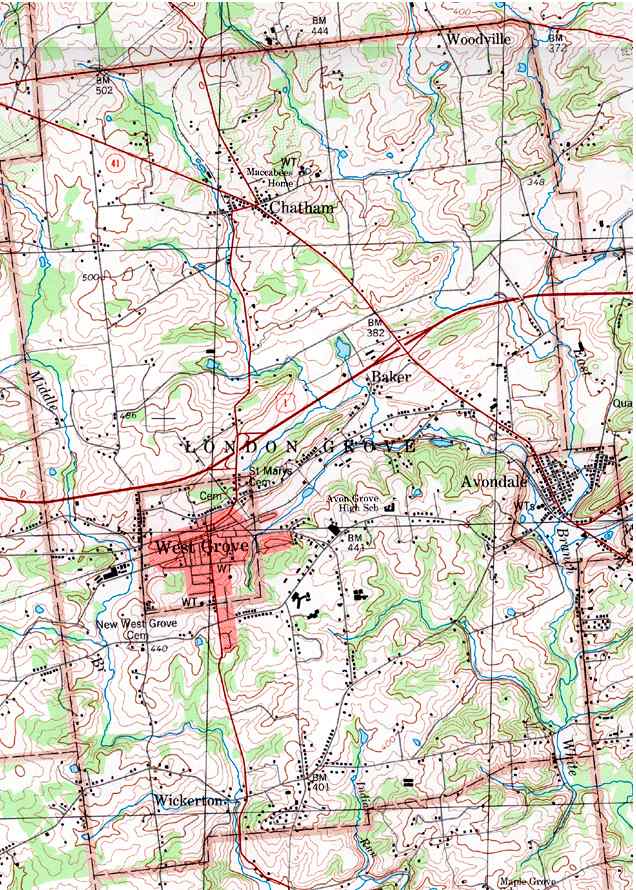
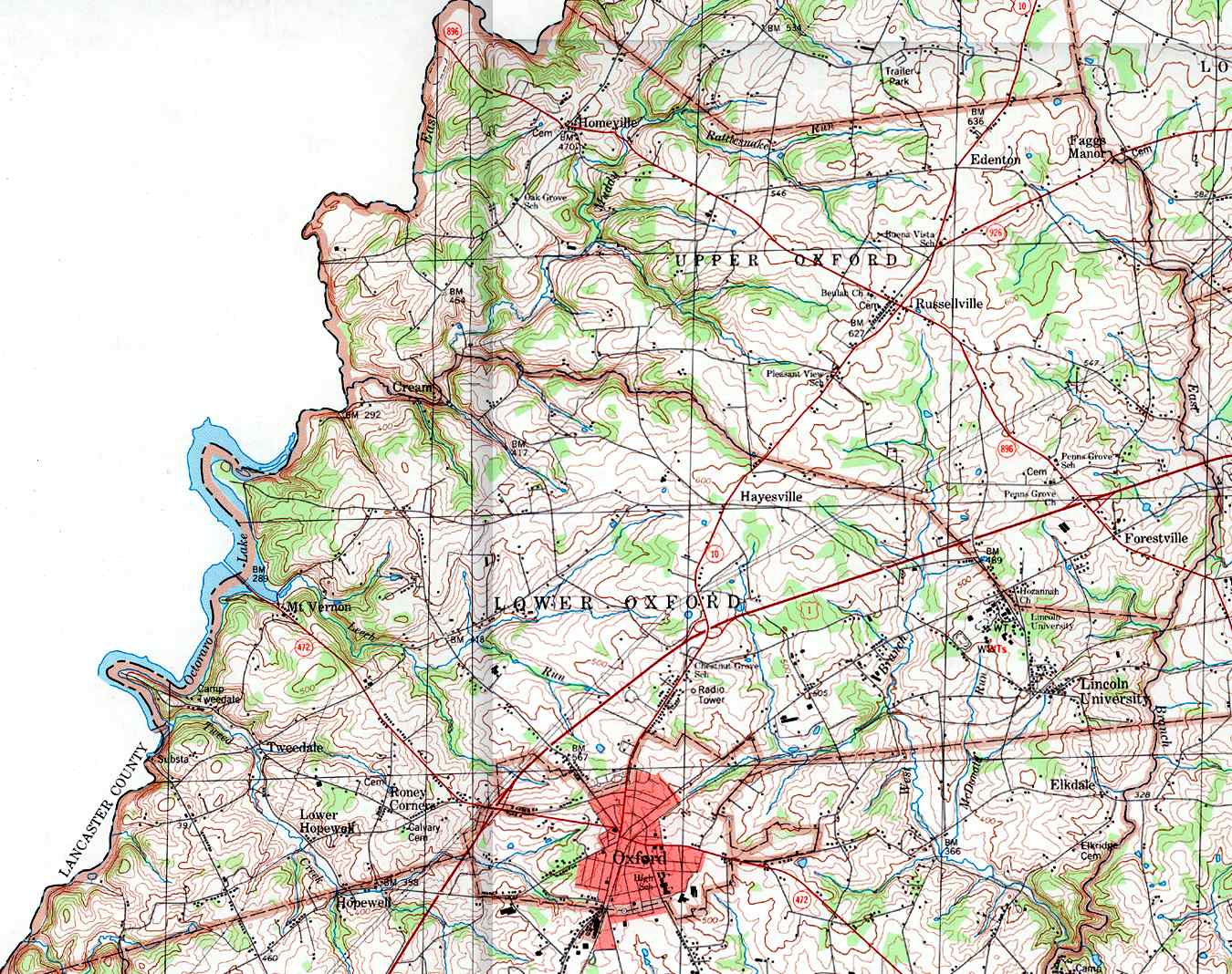
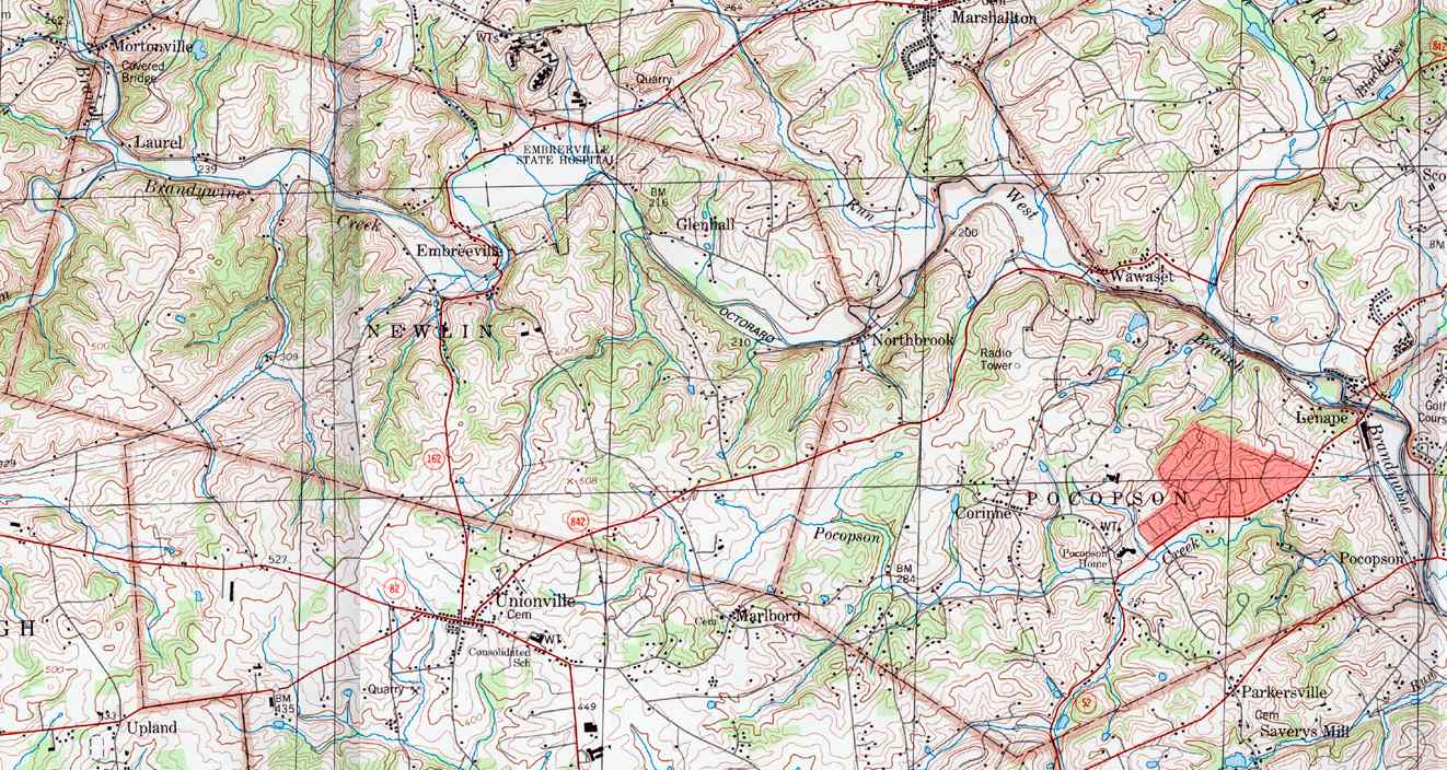
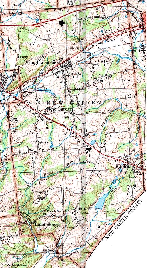
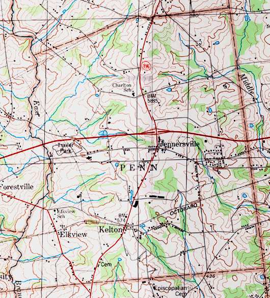
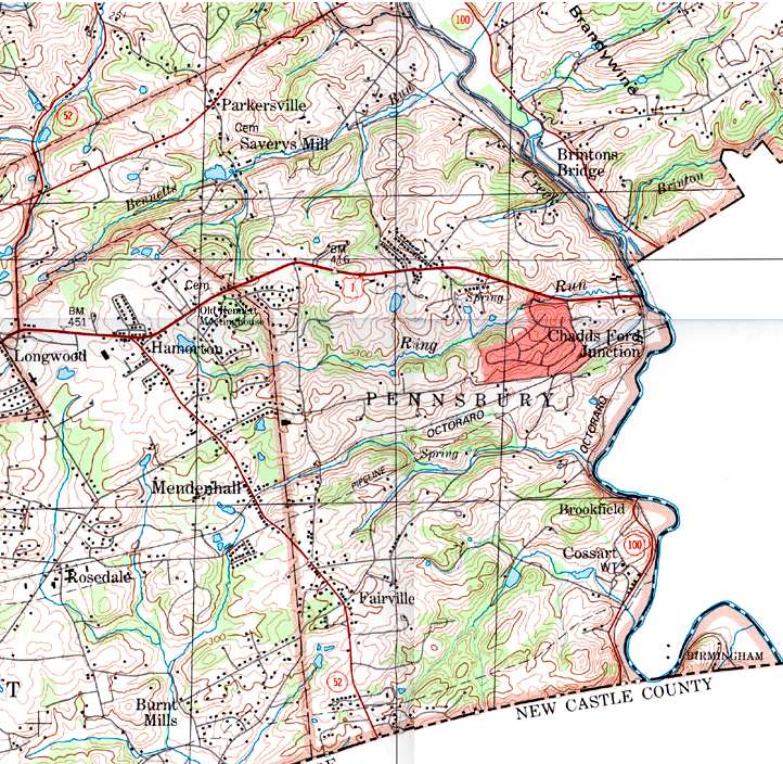
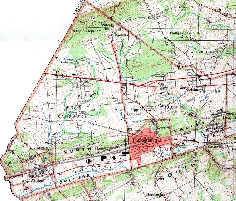
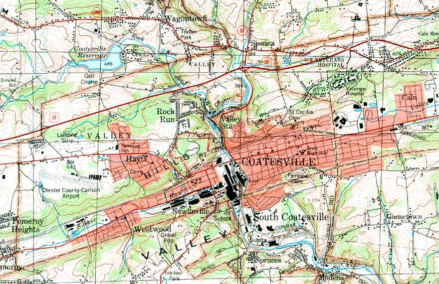
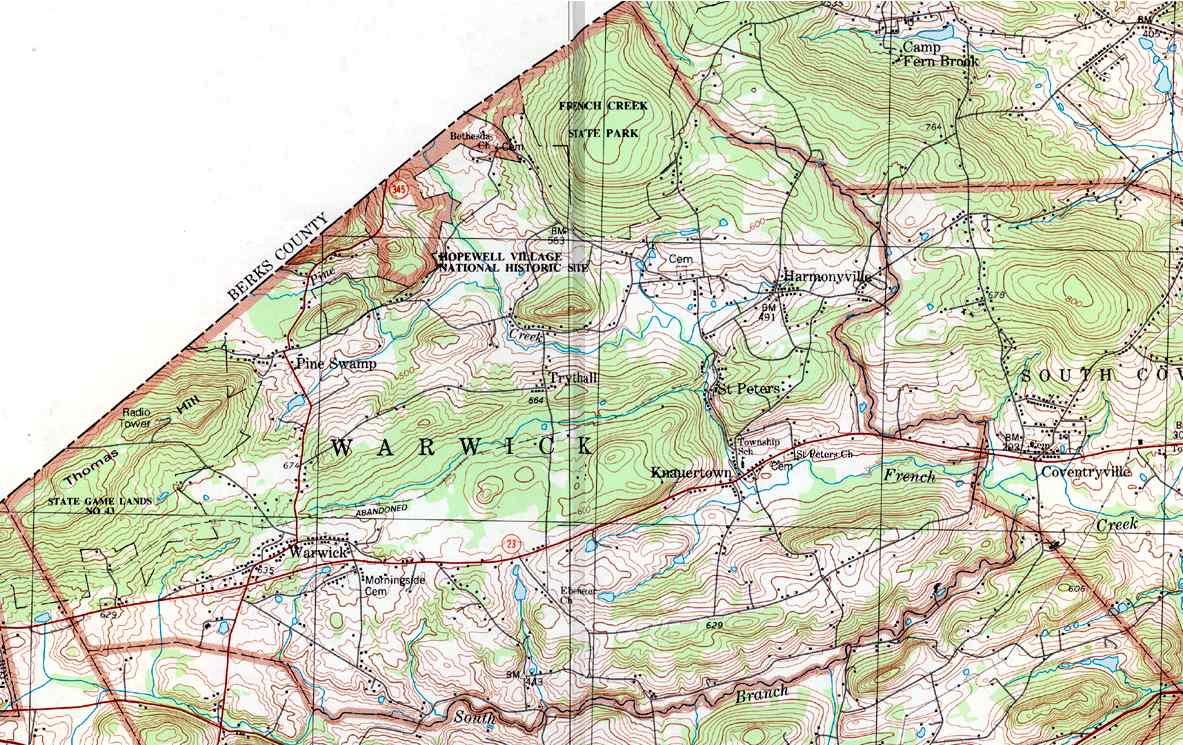
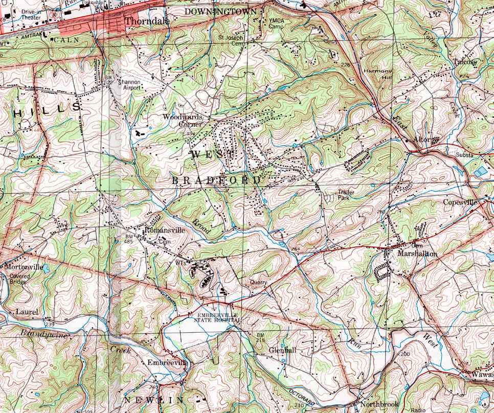
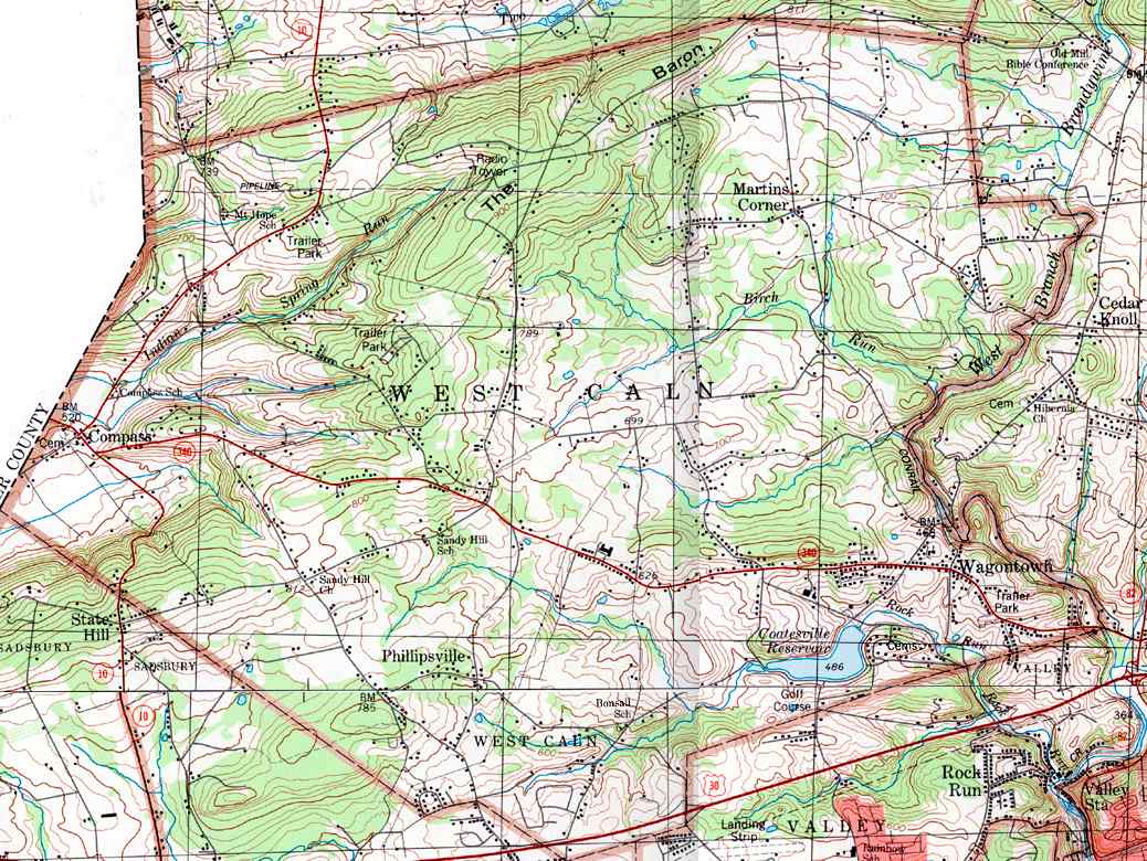
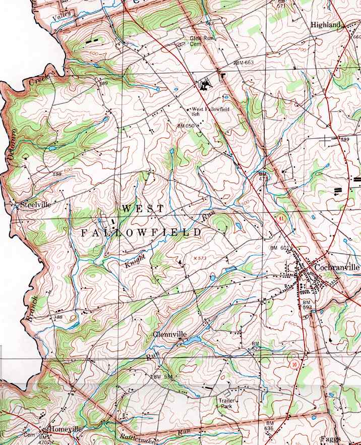
Image Map: This is a clickable image map of townships and boroughs in Chester County Pennsylvania. A text list of the township maps is shown below. The township images are cropped from a 1/50,000 USGS Geological Survey Map of Chester County dated 1983; based on 1/24,000 maps dated 1953 through 1967. Adjacent counties shown on the image map have active links to their USGS maps. Note that some townships are combined into one image.
County Genealogy Sites: There are links to Pennsylvania county USGenWeb sites at the bottom of the Pennsylvania Map Index page.