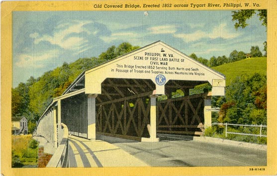
| Barbour County |
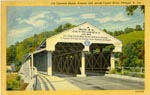
Old Covered Bridge, Erected 1852 across Tygart River, Philippi |
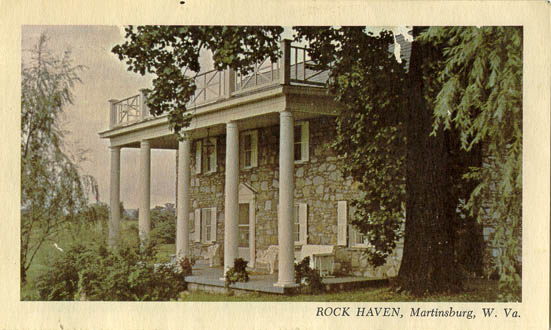
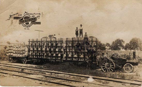
| Berkeley County |
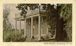
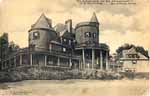
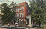
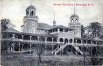
Rock Haven, Martinsburg |
Virginia Barrel Co. Wagon, Designed and Manufactured by The Auburn Wagon Co., Martinsburg |
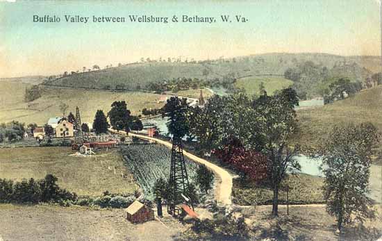
| Brooke County |
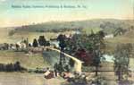
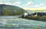
Buffalo Valley between Wellsburg & Bethany |
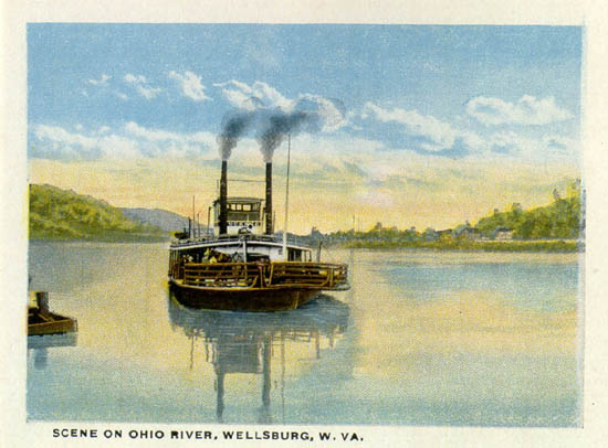
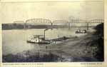
Scene on Ohio River, Wellsburg |
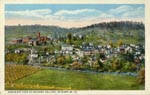
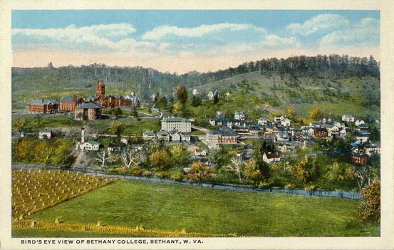
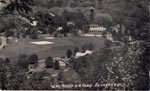
Bird's Eye View of Bethany College, Bethany |
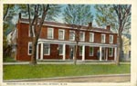
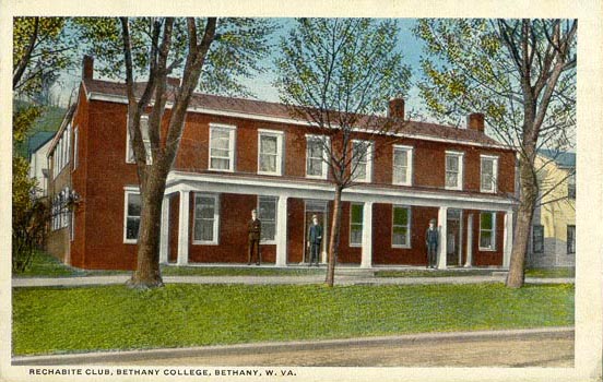
Rechabite Club, Bethany College, Bethany |
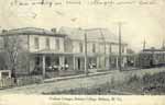
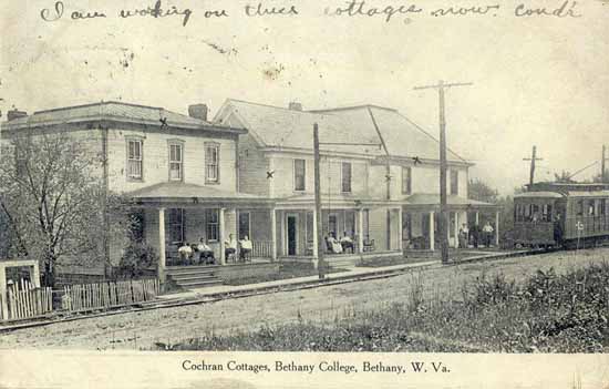
Cochran Cottages, Bethany College, Bethany |
| Cabell County |

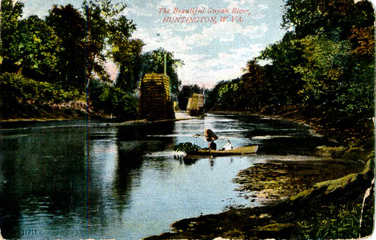
The Beautiful Guyan River, Huntington |

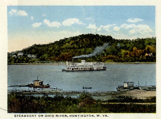
Steamboat on Ohio River, Huntington |
| Fayette County |

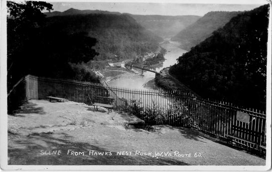
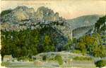
Scene from Hawks Nest Rock, Route 60 |

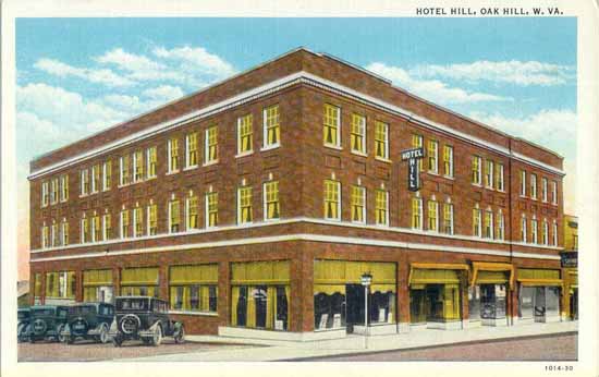
Hotel Hill, Oak Hill |
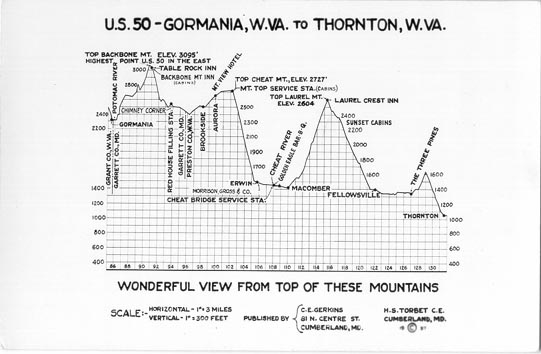
| Grant County |
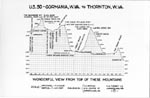
Elevation Profile of U. S. 50 from Gormania to Thornton |
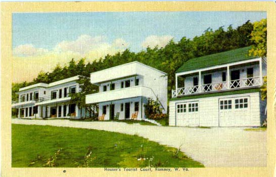
| Hampshire County |
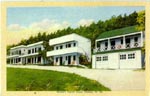
Houser's Tourist Court, Romney |
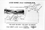
Elevation Profile of U. S.50 from Romney to Gormania |
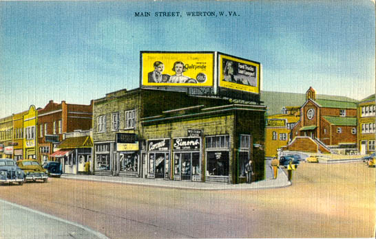
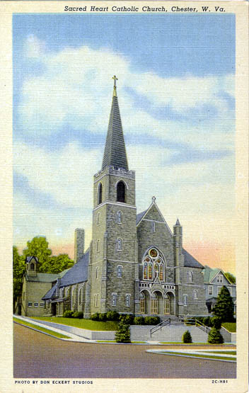
| Hancock County |
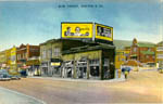
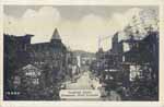
Main Street, Weirton |
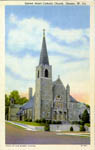
Sacred Heart Catholic Church, Chester |
| Harrison County |
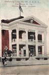
Clarksburg Lodge No. 482, B. P. O. E., Clarksburg |
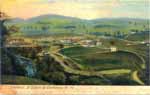
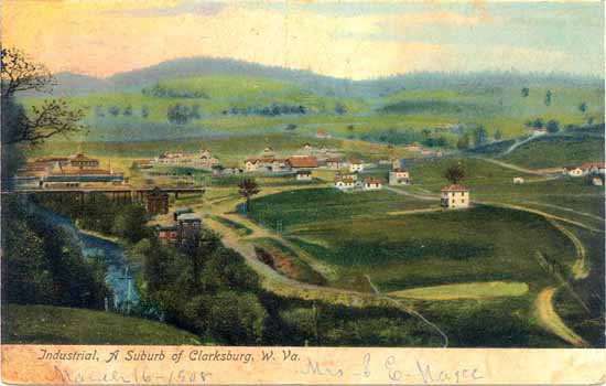
Industrial, a Suburb of Clarksburg [1908] |
| Jefferson County |
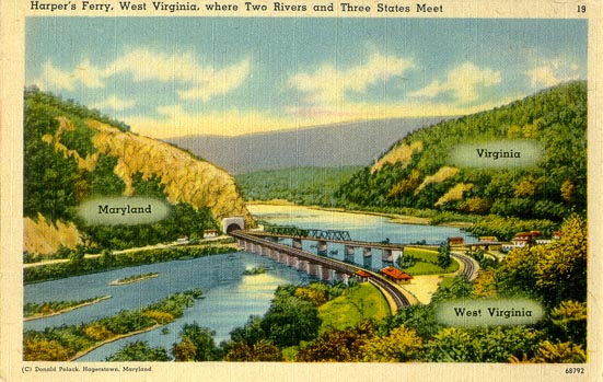
Harper's Ferry, where Two Rivers and Three States Meet |
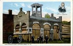
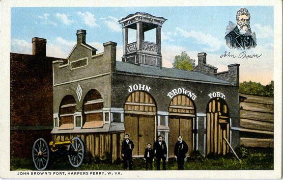
John Brown's Fort, Harper's Ferry |
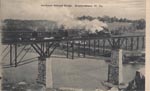
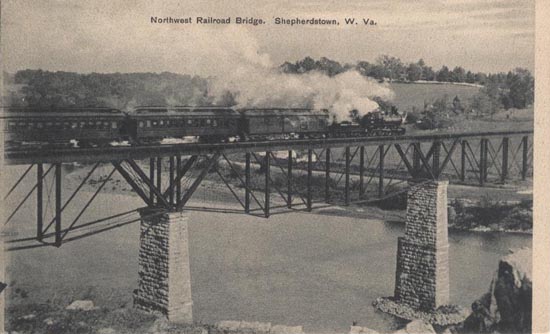
Northwest Railroad Bridge, Shepherdstown |
| Kanawha County |

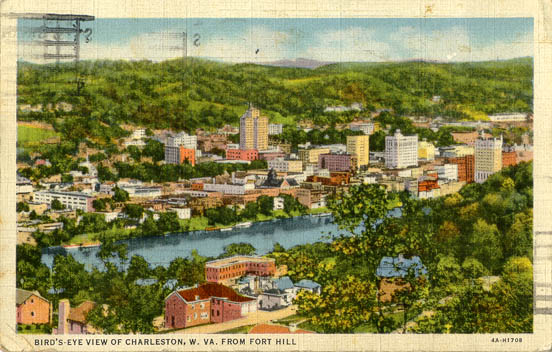
Bird's-Eye View, Charleston from Fort Hill |

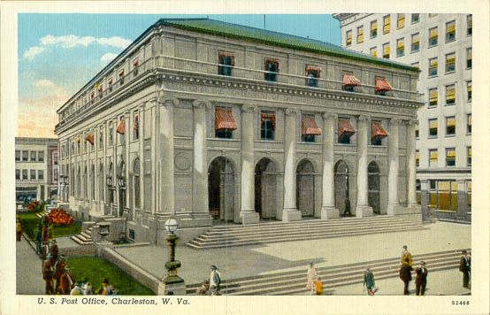
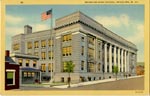
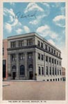
U. S. Post Office, Charleston |

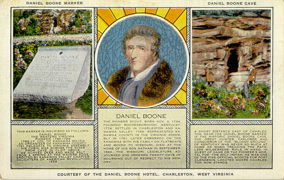
Daniel Boone Hotel Advertising Card, Charleston |

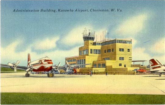
Administration Building, Kanawha Airport, Charleston |

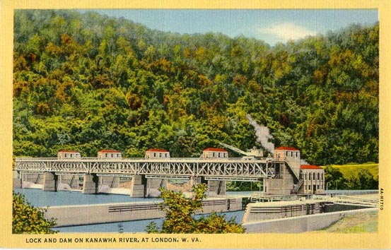
Lock and Dam on Kanawha River, London |
| Lewis County |

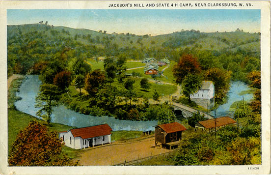
Jackson's Mill and State 4H Camp, near Clarksburg |
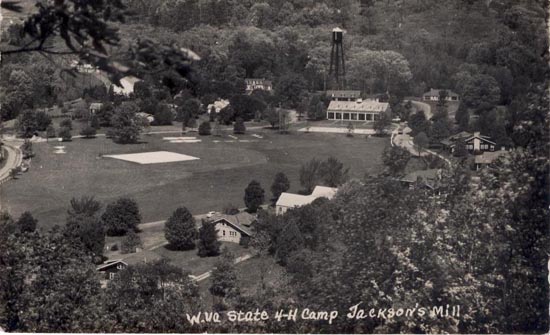
State 4-H Camp, Jackson's Mill |
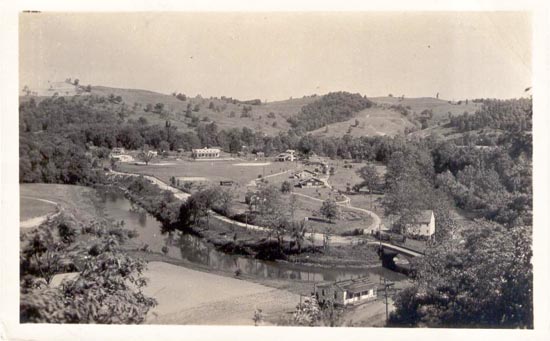
4-H Camp Weston |
| Marshall County |
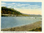
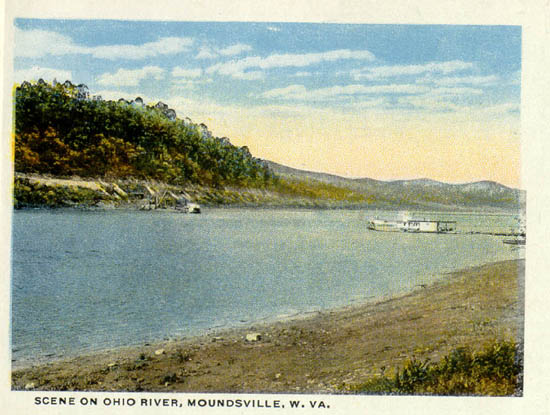
Scene on Ohio River, Moundsville |
| Mason County |
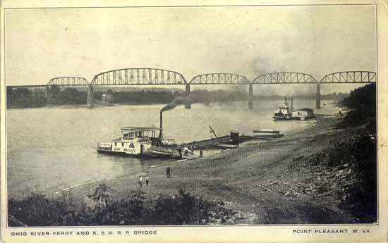
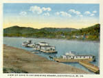
Ohio River Ferry and K. & M. R. R. Bridge, Point Pleasant |
| McDowell County |

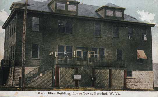
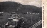
Main Office Building, Lower Town, Berwind [1909] |

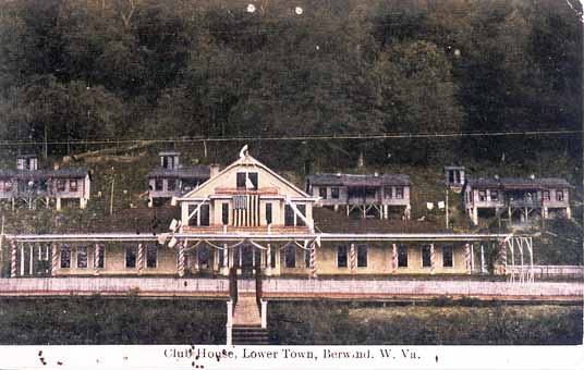
Club House, Lower Town, Berwind [1909] |

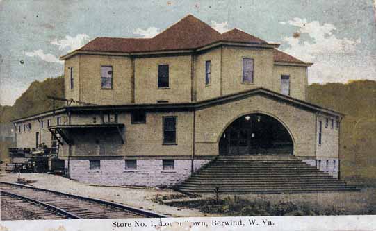
Store No. 1, Lower Town, Berwind [1909] |

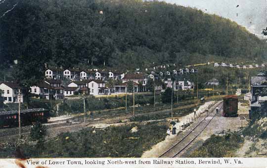
A View of Lower Town looking North-west from Railway Station, Berwind [1909] |

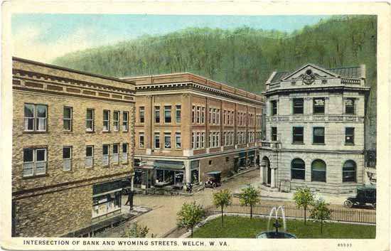
Intersection of Bank and Wyoming Streets, Welch |

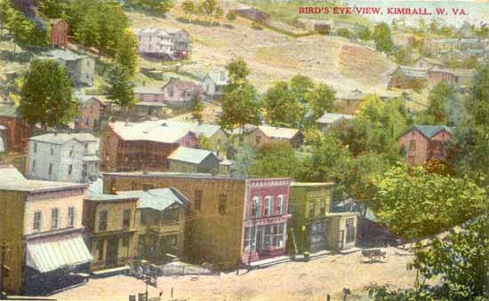
Bird's Eye View, Kimball |
| Mercer County |

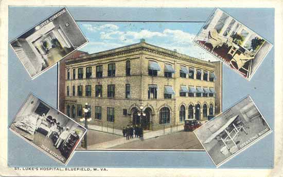
St. Luke's Hospital, Bluefield |

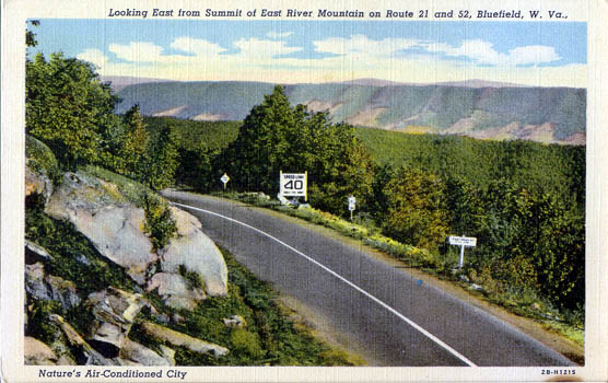
Looking East from East River Mountain on Route 21 and 52, Bluefield |
| Mineral County |
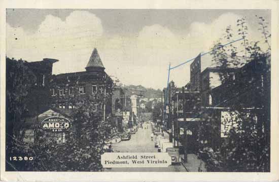
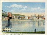
Ashfield Street, Piedmont |
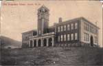
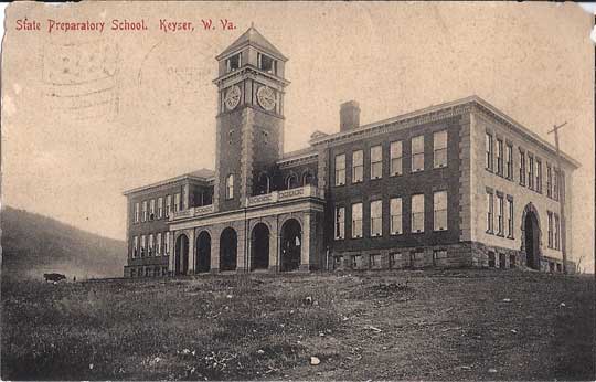
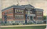
State Preparatory School, Keyser |
| Mingo County |

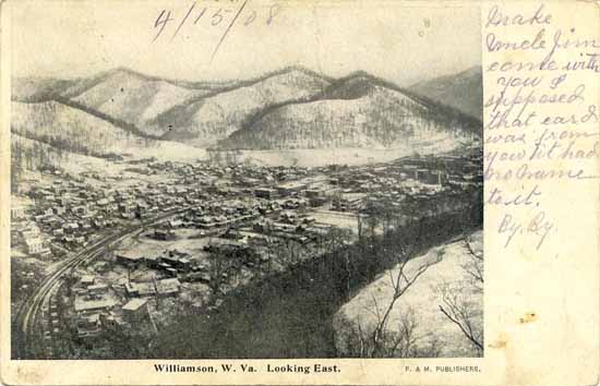
Williamson, Looking East [1908] |
| Monongalia County |

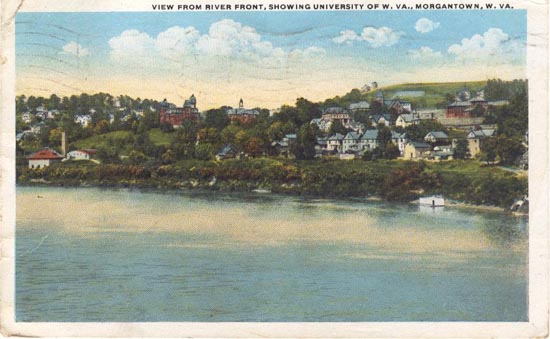
View from River Front, Showing University of West Virginia |
| Ohio County |

Old Stone Bridge at Monument Place on National Pike, Elm Grove, Wheeling |
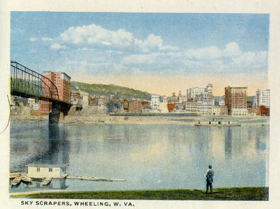
Sky Scrapers, Wheeling |
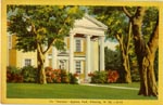
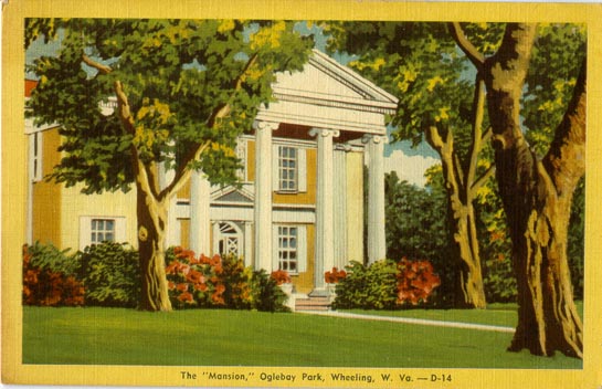
The "Mansion", Oglebay Park, Wheeling |
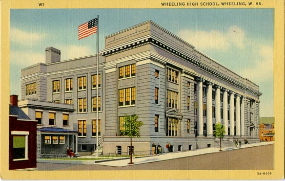
Wheeling High School, Wheeling |
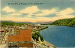
The Ohio River at Wheeling, Looking South |
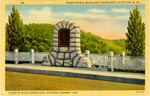
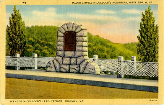
Major Samuel McColloch's Monument, Wheeling (scene of McColloch's Leap, National Highway (40) |
| Pendleton County |
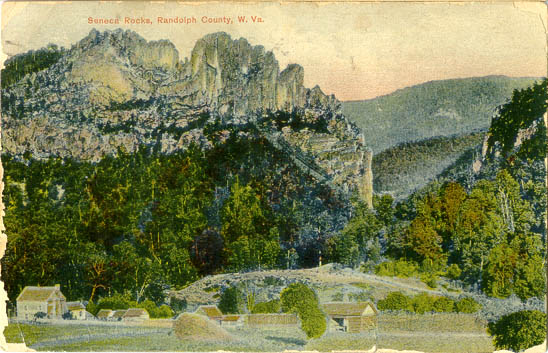
Sentinel Rocks, Randolph County |
| Pleasants County |

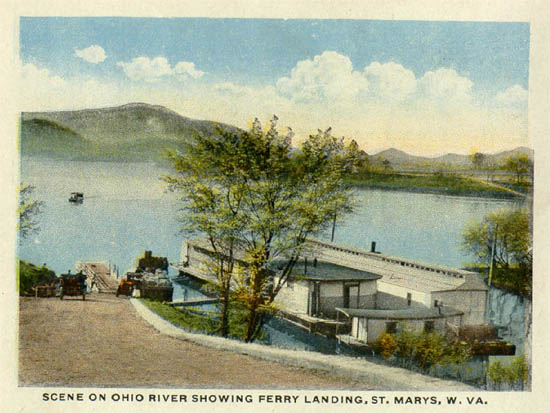
Scene on Ohio River Showing Ferry Landing, St. Marys |
| Pocahontas County |
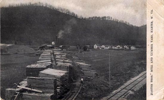
Harter Bros'. Mill and Lumber Yard, Harter |
| Preston County |

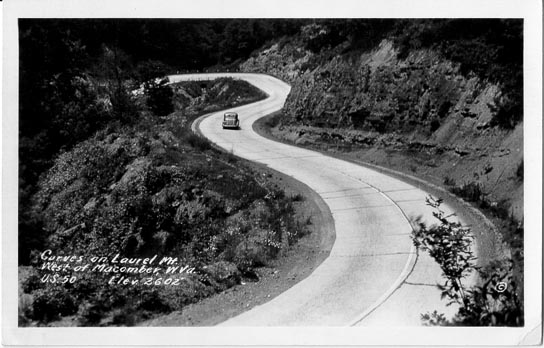
Curves on Laurel Mt. West of Macomber, U. S. 50, Elev. 2602' |

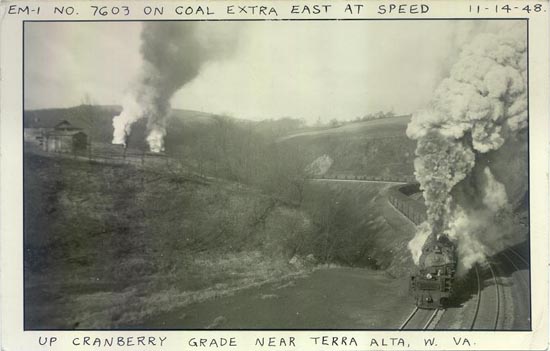
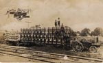
EM-I No. 7603 on Coal Extra East at Speed 11-14-48 Up Cranberry Grade near Terra Alta |
| Randolph County |
Residence of Ex-Senator S. B. Elkins, Elkins |
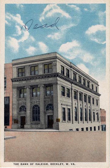
| Raleigh County |
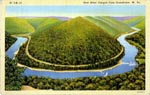
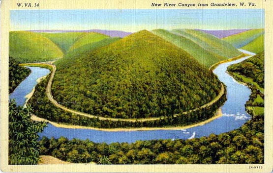
New River Canyon from Grandview |
Bank of Raleigh, Beckley |
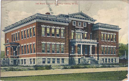
| Randolph County |
1st Ward School, Elkins |
residence of Ex-Senator, W. B. Elkins, Elkins |
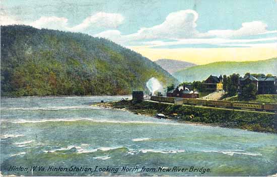
| Summers County |
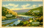
Hinton Station, Looking North from New River Bridge, Hinton |
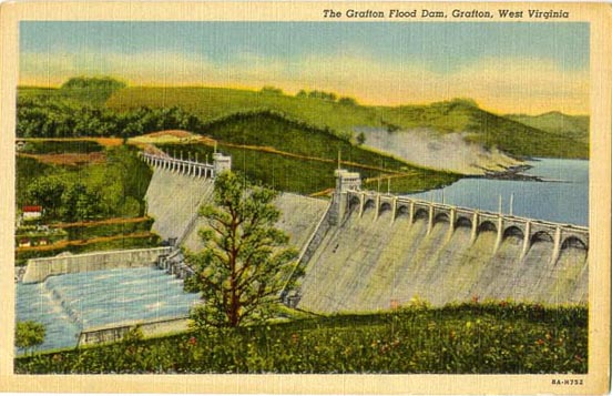
| Taylor County |
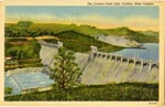
The Grafton Flood Dam, Grafton |
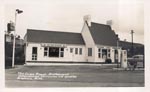
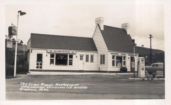
The Cross Roads Restaurant, Intersection of routes 119 and 50, Grafton |
| Tucker County |
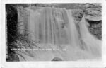
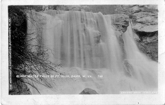
Black Water Falls, 66 Ft. High, Davis |
| Tyler County |
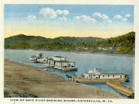
View of Ohio River Showing Wharf, Sistersville |
| Wetzel County |
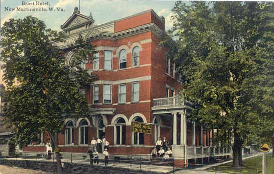
Brast Hotel, New Martinsville |
| Wood County |
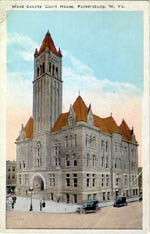
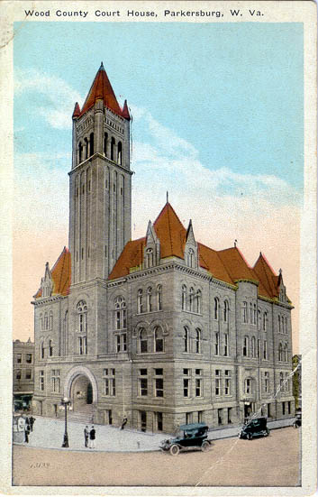
Wood County Court House, Parkersburg |
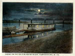
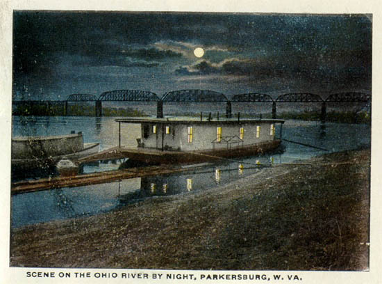
Scene on the Ohio River by Night, Parkersburg |
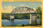
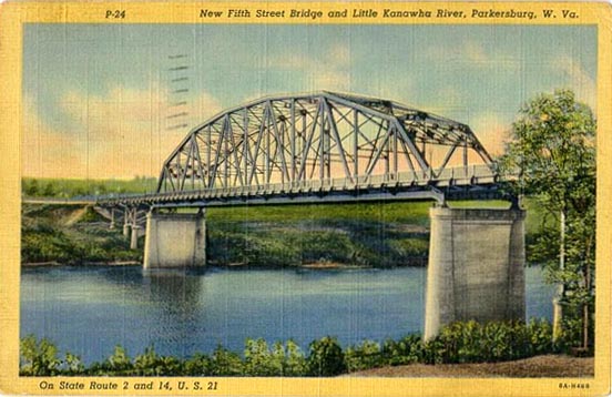
New Fifth Street Bridge and Little Kanawha River, Parkersburg |
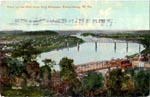
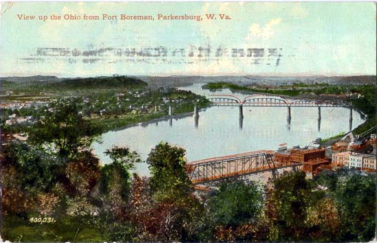
View up the Ohio River from Fort Boreman, Parkersburg |
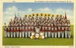
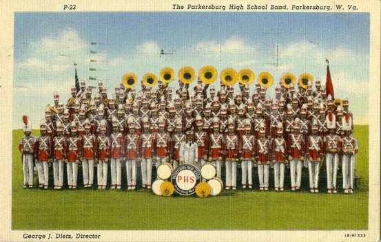
The Parkersburg High School Band, Parkersburg [1941] |
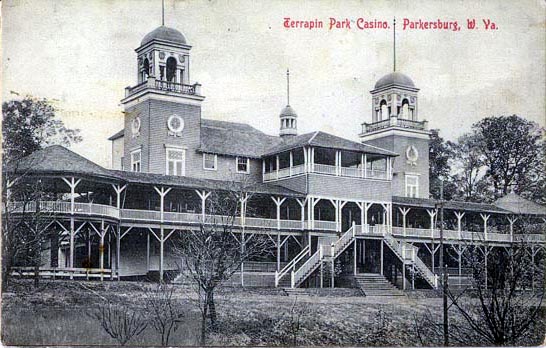
Terrapin Casino, Parkersburg |
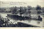
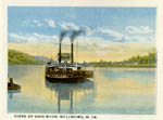
Railroading on the Little Kanawha River, Parkersburg |
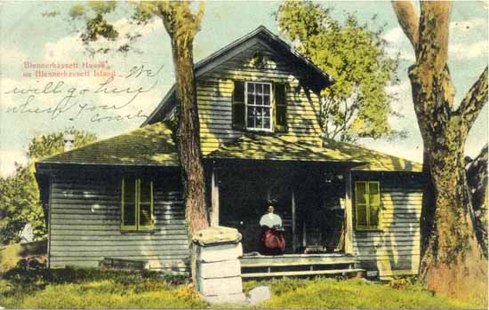
Blennerhassett House on Blennerhassett Island |