![]() Botetourt County
Photo Album Index
Botetourt County
Photo Album Index
Please use your "back" key to return to index
Click on thumbnail to see larger picture
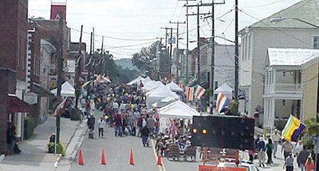 |
Buchanan During its fall festival. Photographed Oct 2003 and Contributed by Gill Pollard |
 |
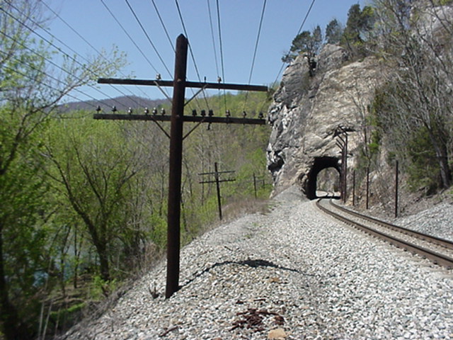
C&O (now CSX) tunnel with the help of two bridges, it cuts off a mile of track around the Horseshoe Bend west of Buchanan. Photographed March 2003 and Contributed by Gill Pollard |
 |
Canal Aqueduct It has been bypassed by the creek that once flowed through it. The canal flowed across the top through an earthen trench and later the C&O railroad on the towpath, but that is now also relocated. Fine example of the stonework construction of an aqueduct. Location: Narrow Passage. Photographed March 200 and Contributed by Gill Pollard |
 |
Canal Lock a James River canal lock near Gilmore Mills Photographed 2001and Contributed by Gill Pollard |
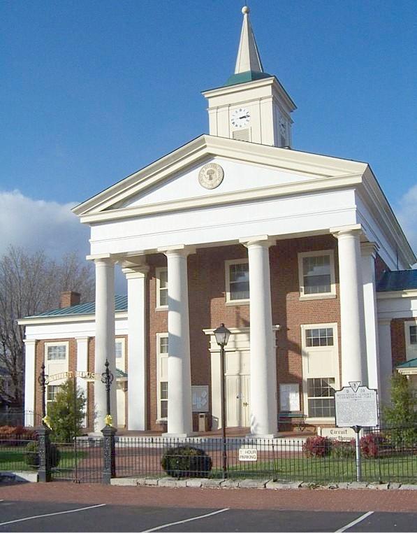 |
Court House In Fincastle. There is a museum around in back. Photographed November, 2003 and Contributed by Mary Lou Veal |
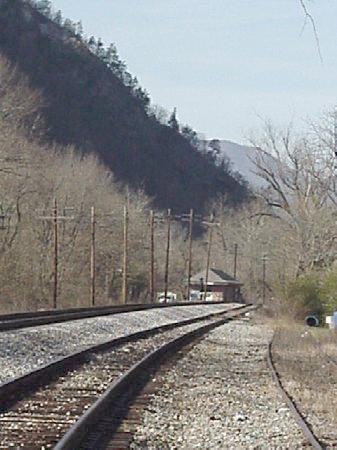 |
Eagle Rock C&O station Crawford Mountain towering in the background. Near US 220 and Rt 43. Photographed Nov 2003 and Contributed by Gill Pollard |
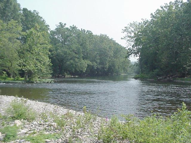 |
Head of the James Where the Jackson(left) and Cowpasture Rivers merge to form the James in Botetourt county near Iron Gate. Photographed Aug 2003 and Contributed by Gill Pollard |
 |
Jail In Fincastle, across the street from the side of the courthouse. Notice the bars across the windows. Photographed November, 2003 and Contributed by Mary Lou Veal |
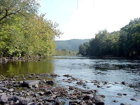 |
James River near Arcadia Photographed Oct 2001 and Contributed by Gill Pollard |
 |
James River at Buchanan. The Rt. 11 bridge is in the background with the suspension walkway bridge in the foreground. The suspension bridge was constructed on the stonework of the 1800's covered bridge and the canal boats docked along stonework which is still visible along the grass covered bank on the right. Water level in canal days was much higher due to a dam below town. Photographed Oct 2003 and Contributed by Gill Pollard |
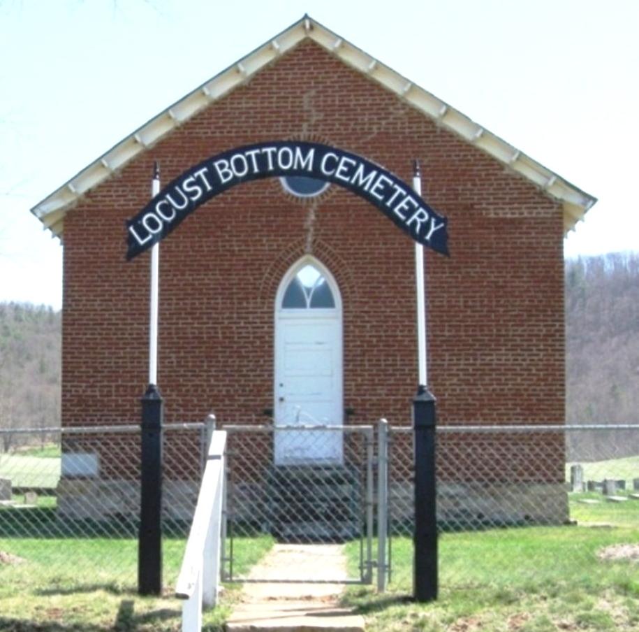 |
Locust Bottom Church Cemetery View from front gate. Photographed 3 Apr 2009 and Contributed by Robert-Blade McCloud Wright |
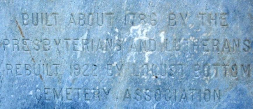 |
Locust Bottom Church Cemetery Plaque on extreme left front of church building: Built About 1786 By The Presbyterians And Lutherans - Rebuilt 1922 By The Locust Bottom Cemetery Association Photographed 3 Apr 2009 and Contributed by Robert-Blade McCloud Wright |
 |
Locust Bottom Church Cemetery View of church as seen from the left. Photographed 3 Apr 2009 and Contributed by Robert-Blade McCloud Wright |
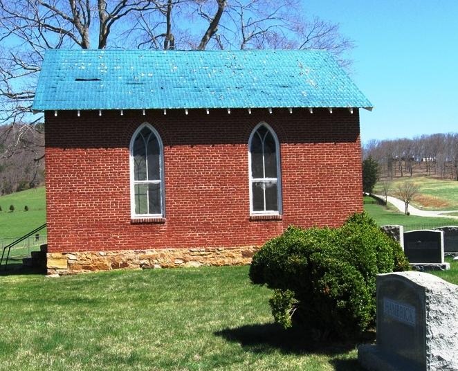 |
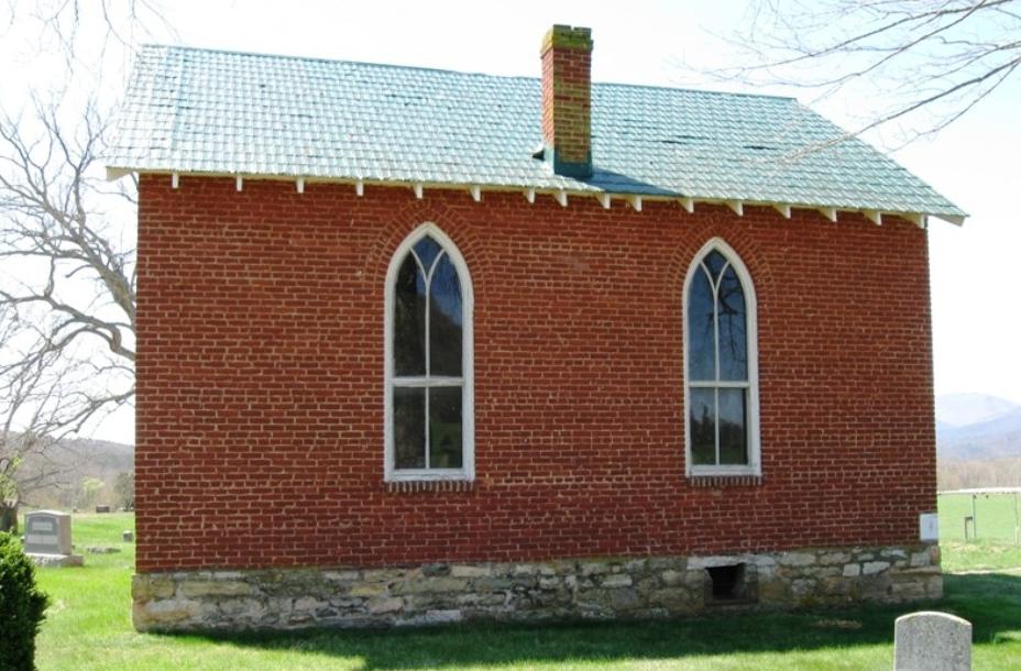
Locust Bottom Church Cemetery View of church as seen from the right. Photographed 3 Apr 2009 and Contributed by Robert-Blade McCloud Wright |
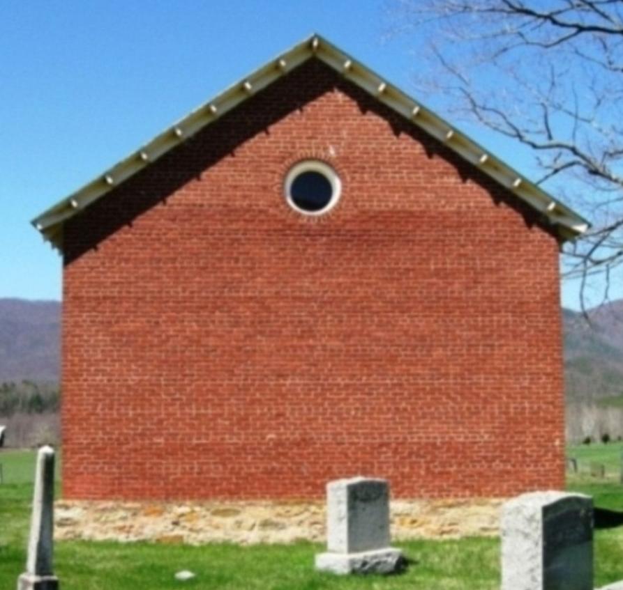 |
Locust Bottom Church Cemetery View of church as seen from the rear. Photographed 3 Apr 2009 and Contributed by Robert-Blade McCloud Wright |
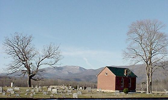 |
Locust Valley Cemetery and Chapel, near Glen Wilton Photographed Dec 2003 and Contributed by Gill Pollard |
 |
Wasp Rock Tunnel originally on the C&O now CSX about a mile down stream from Buchanan along the James River. Photographed 4/13/2003 and Contributed by Gill Pollard |
Go To