| Cameron County |
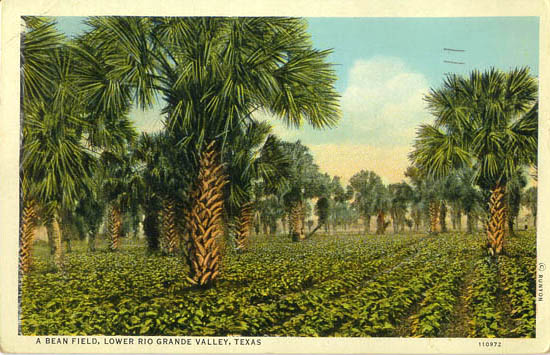
A Bean Field, Lower Rio Grande Valley |

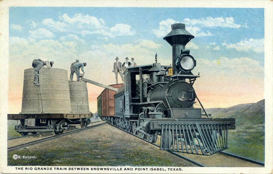
The Rio Grande Train between Brownsville and Point Isabel |
Down the Rio Grande from Brownsville - Steeples of Matamoros, Mex., in distance |
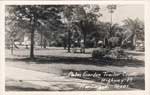
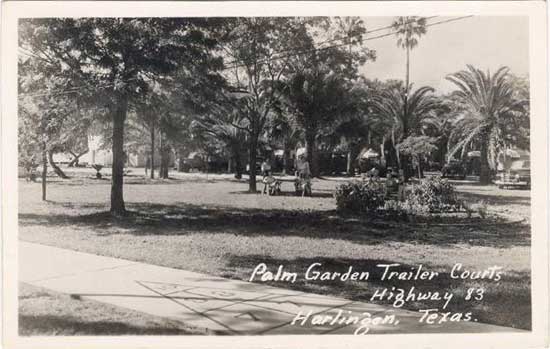
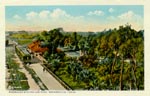
Palm Garden, Harlingen |
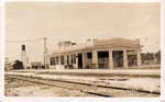
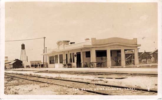
The Depot, Harlingen |
| Port Isabel |

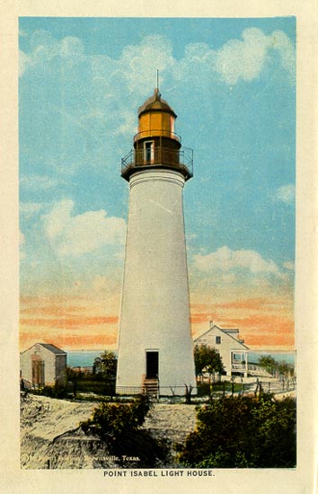
Point Isabel Light House |
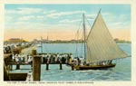
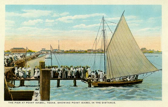
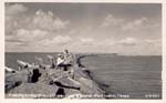
The Pier at Point Isabel, Showing Point Isabel in the Distance |
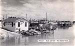
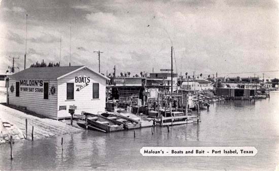
Maloan's, Boats and Bait, Port Isabel |
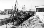
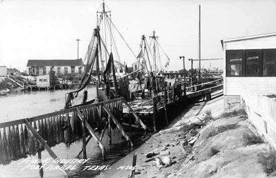
Fishing Industry, Port Isabel |

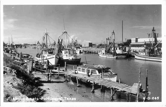
Fishing Boats, Port Isabel |
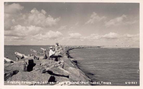
Fishing From The Jetties, Padre Island, Port Isabel |
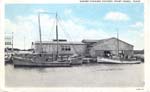
Shrimp Canning Factory, Port Isabel |
| San Benito |
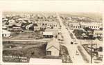
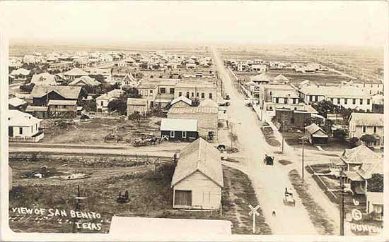
View of San Benito |
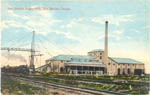
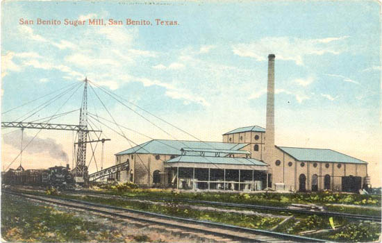
San Benito Sugar Mill, San Benito |
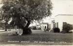
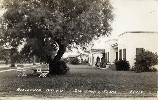
Residence District, San Benito |
| Brownsville |

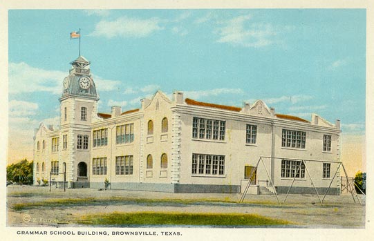
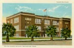
Grammar School Building, Brownsville |

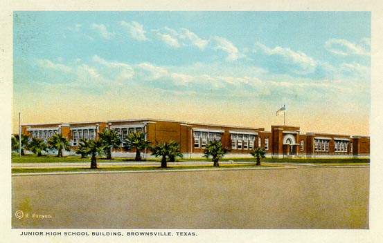
Junior High School Building, Brownsville |
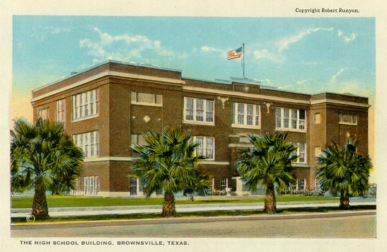
The High School Building, Brownsville |
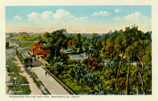
Passenger Station and Park, Brownsville |
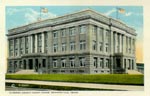
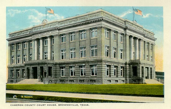
Cameron County Court House, Brownsville |
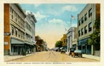
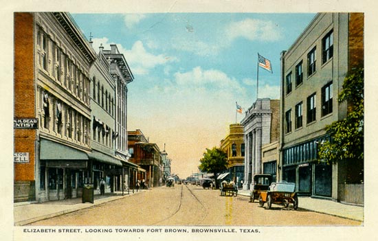
Elizabeth Street, Looking towards Fort Brown, Brownsville |
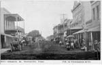
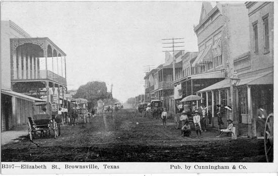
Elizabeth St., Brownsville |
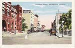
Elizabeth Street, Brownsville |
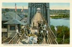
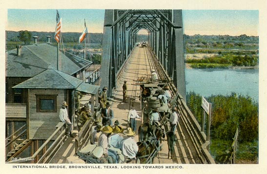
International Bridge, Brownsville, Looking Towards Mexico |
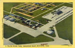
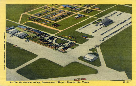
The Rio Grande Valley International Airport, Brownsville |
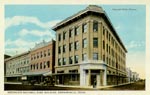
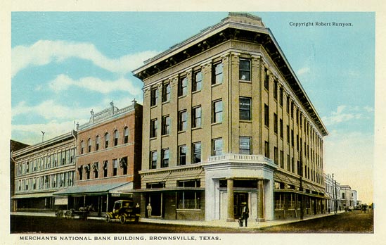
Merchants National Bank Building, Brownsville |
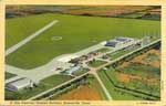
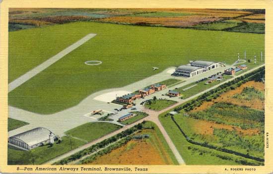
Pan American Airways Terminal, Brownsville [1936] |
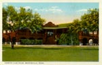
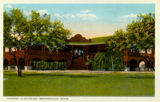
Country Club House, Brownsville |

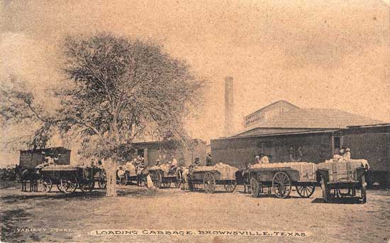
Loading Cabbage, Brownsville |
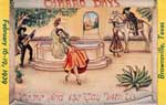
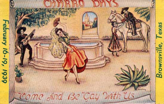
Charro Days, Come and Be Gay With Us, Brownsville [February 16-19, 1939] |
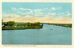
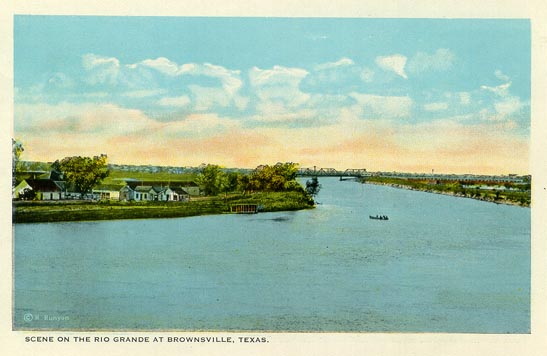
Scene on the Rio Grande at Brownsville |
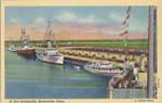
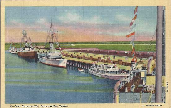
Port Brownsville, Brownsville |
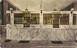
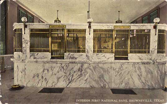
Interior, First National Bank, Brownsville |