
Smith County
Cemetery Photographs
Wood - Verner Cemetery
Dixie Community, Texas
aka Black Fork Cemetery
aka Verner Cemetery
Latitude: N 32:22:36.9
Longitude: W 095:25:43.8
Take Hwy 64 west from Tyler to Hwy 724 & turn right (northwest). Go to
CR 1148 & turn left (west). Continue to end of CR 1148 where the road ends at
and circles the cemetery.
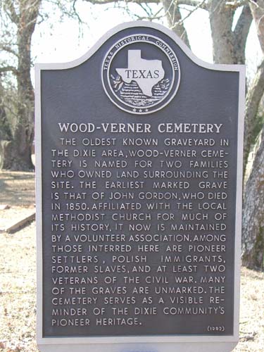
John Lollar deeded land to the trustees of Black Fork Methodist Episcopal
Church South in 1855.
| Description Link |
Photo Link |
Date |
Submitter |
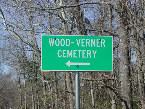
| Roadside Sign |
Image |
|
Lawrence E. Oliver |
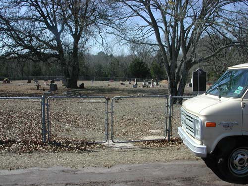
| Cemetery Entrance |
Image |
|
Lawrence E. Oliver |
| Historical Marker |
Image |
|
Lawrence E. Oliver |
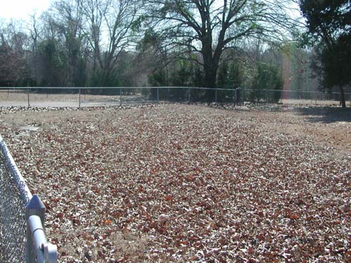
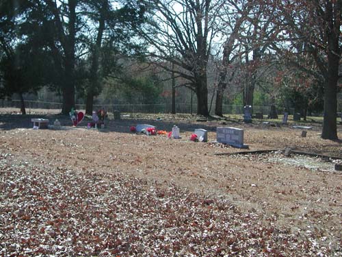
| Cemetery View |
Image |
|
Lawrence E. Oliver |
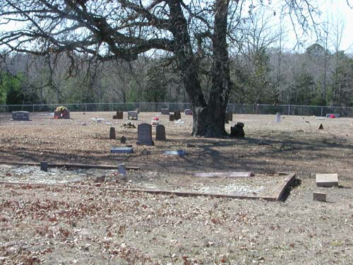
| Cemetery View |
Image |
|
Lawrence E. Oliver |
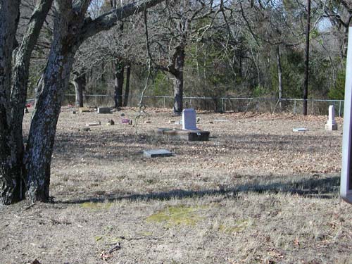
| Cemetery View |
Image |
|
Lawrence E. Oliver |
| Cemetery View |
Image |
|
Lawrence E. Oliver |
Copyright © 1997-present USGenWeb Project Archives