
Smith County
Cemetery Photographs
| Description Link | Photo Link | Date | Submitter |
|---|---|---|---|
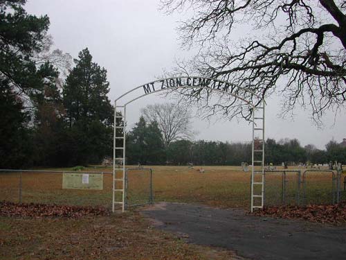
| Cemetery Gate & Sign | Image | Lawrence E Oliver | |
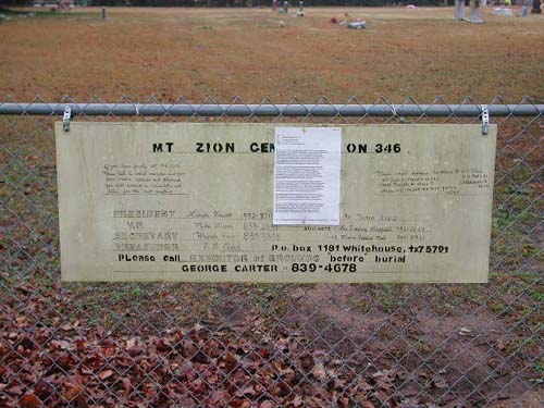
| Information Sign | Image | Lawrence E Oliver | |
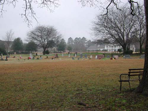
| View | Image | Lawrence E Oliver | |
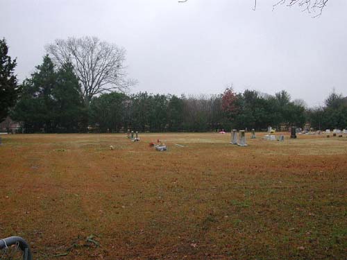
| View | Image | Lawrence E Oliver | |
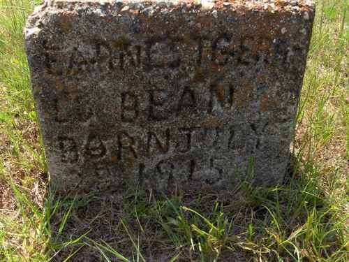
| Bean, L. D. | Image | C Watkins | |
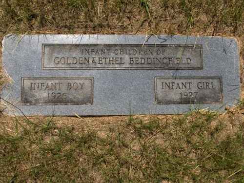
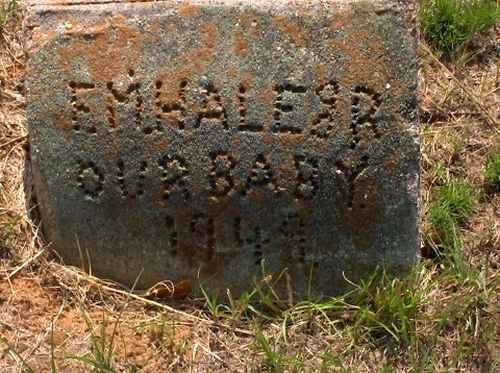
| Beddingfield, Infants Boy & Infant Girl | Image | C Watkins | |
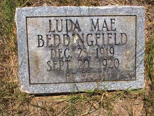
| Beddingfield, Luda Mae | Image | C Watkins | |
| Beddingfield, Sidnie & Jessie May Jacobs | Image | C Watkins | |
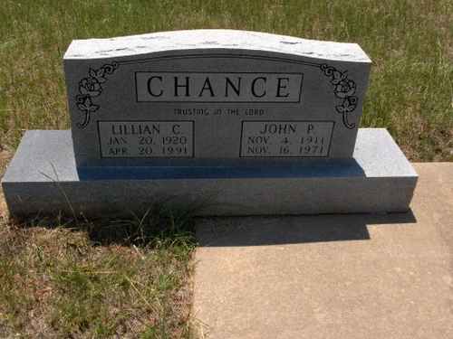
| Chance, Lillian & John | Image | C Watkins | |
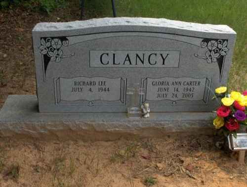
| Clancy, Richard & Gloria | Image | C Watkins | |
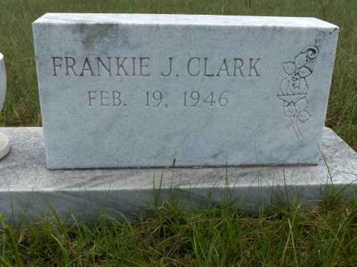
| Clark, Frankie J. | Image | C Watkins | |
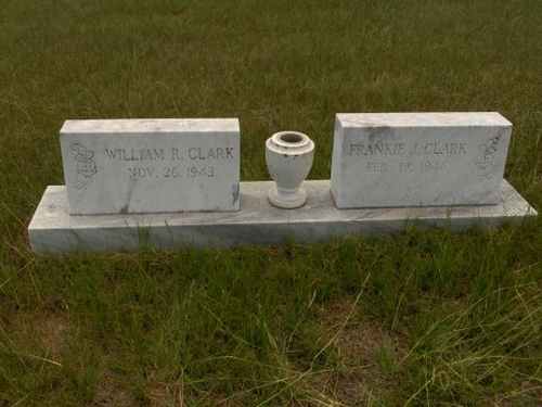
| Clark, William & Frankie | Image | C Watkins | |
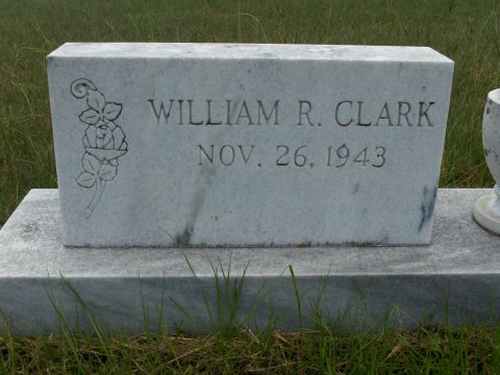
| Clark, William R. | Image | C Watkins | |
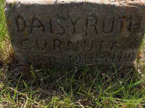
| Curnutt, Daisy Ruth | Image | C Watkins | |
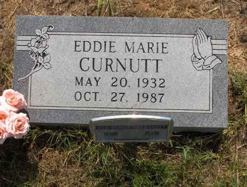
| Curnutt, Eddie Marie | Image | C Watkins | |
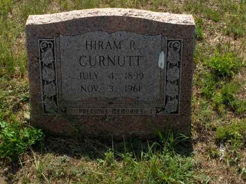
| Curnutt, Hiram R. | Image | C Watkins | |
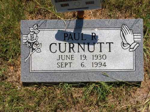
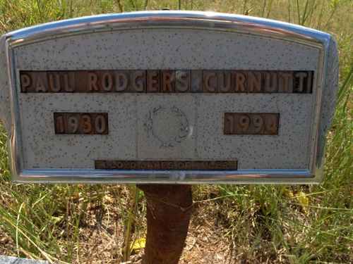
| Curnutt, Paul R. | Image | C Watkins | |
| Curnutt, Paul Rodgers | Image | C Watkins | |
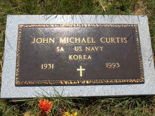
| Curtis, John Michael | Image | C Watkins | |
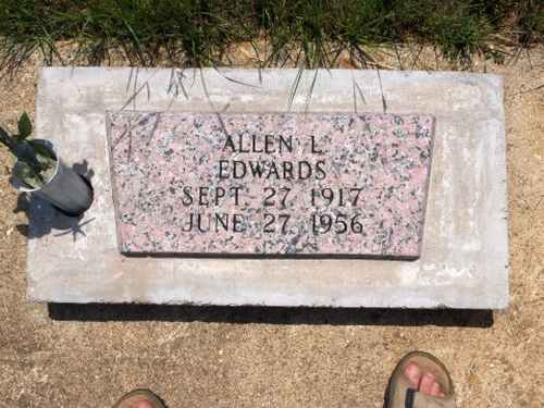
| Edwards, Allen L. | Image | C Watkins | |
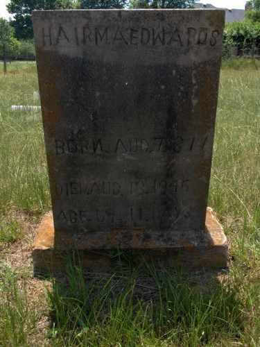
| Edwards, Hairma | Image | C Watkins | |
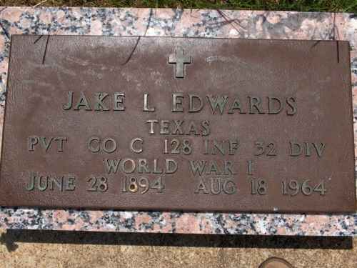
| Edwards, Jake L | Image | C Watkins | |
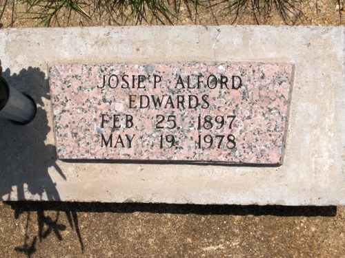
| Edwards, Josie P. Alford | Image | C Watkins | |
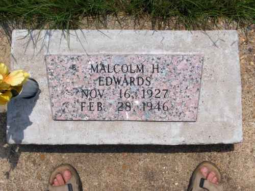
| Edwards, Malcolm H. | Image | C Watkins | |
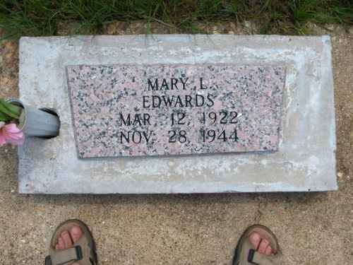
| Edwards, Mary L. | Image | C Watkins | |
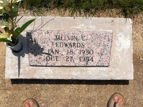
| Edwards, Melvin C. | Image | C Watkins | |
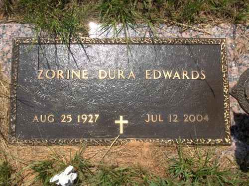
| Edwards, Zorine Dura Edwards | Image | C Watkins | |
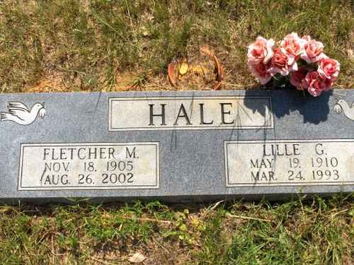
| Hale, F. M. | Image | C Watkins | |
| Hale, Fletcher & Lille | Image | C Watkins | |
| Jacobs, Jessie May & Sidnie Beddingfield | Image | C Watkins | |
| Lanier, William D. | Image | C Watkins | |
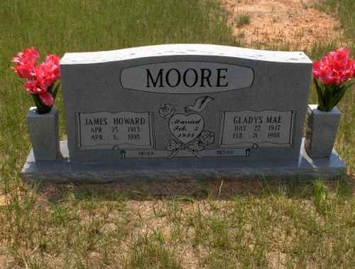
| Moore, James & Gladys | Image | C Watkins | |
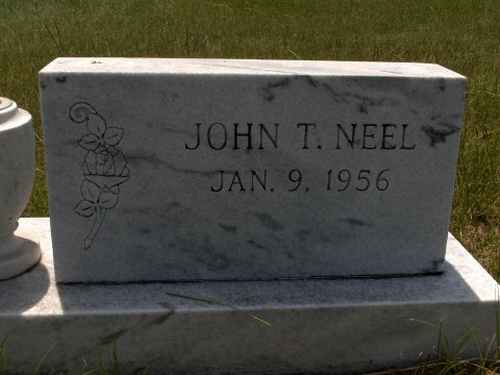
| Neel, John T. | Image | C Watkins | |
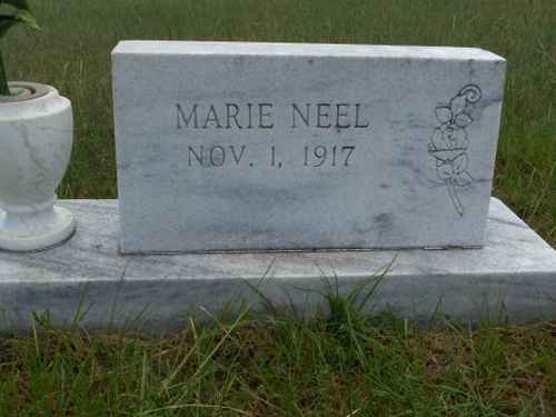
| Neel, Marie | Image | C Watkins | |
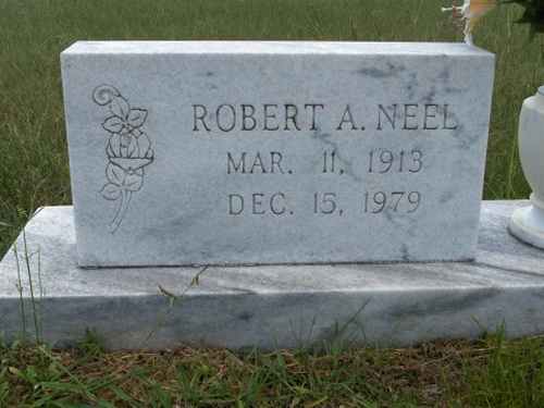
| Neel, Robert A. | Image | C Watkins | |
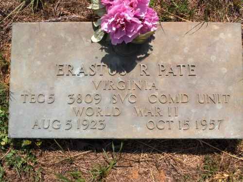
| Pate, Erastus R | Image | C Watkins | |
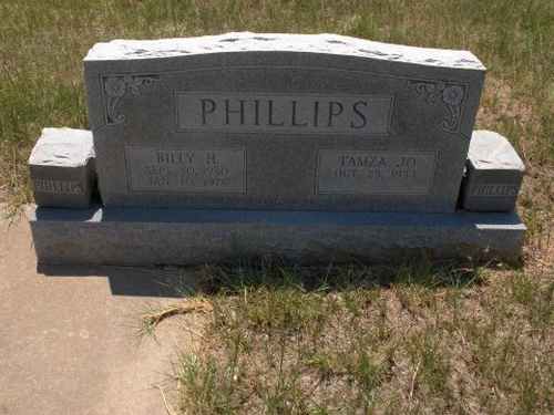
| Phillips, Billy & Tamza | Image | C Watkins | |
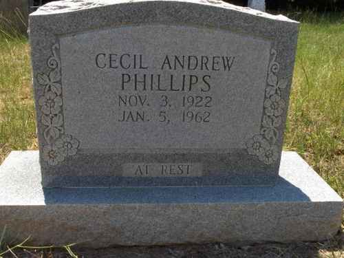
| Phillips, Cecil Andrew | Image | C Watkins | |
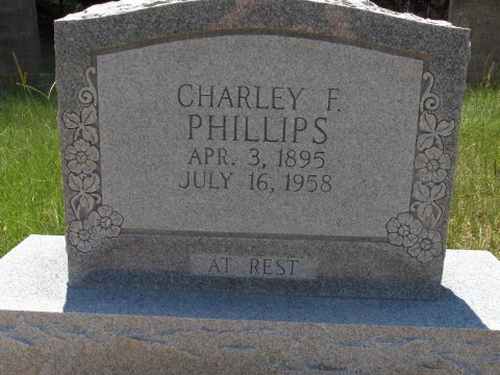
| Phillips, Charley F. | Image | C Watkins | |
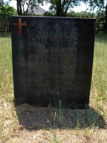
| Phillips, Earl Harris | Image | C Watkins | |
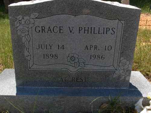
| Phillips, Grace V. | Image | C Watkins | |
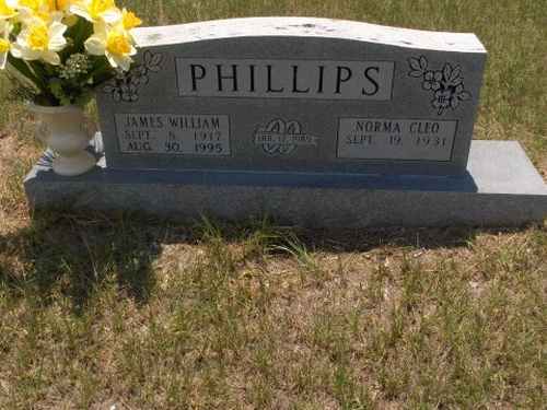
| Phillips, James & Norma | Image | C Watkins | |
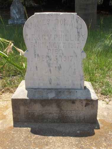
| Phillips, James Donald | Image | C Watkins | |
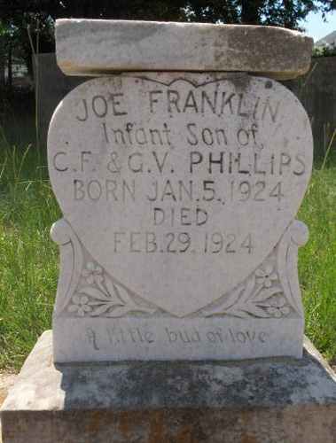
| Phillips, Joe Franklin | Image | C Watkins | |
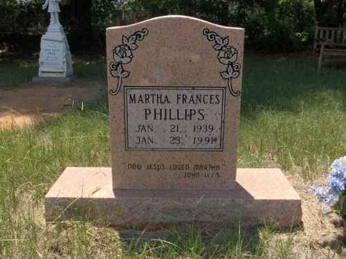
| Phillips, Martha Frances | Image | C Watkins | |
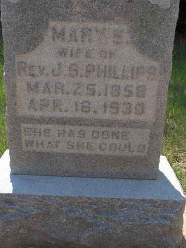
| Phillips, Mary E. | Image | C Watkins | |
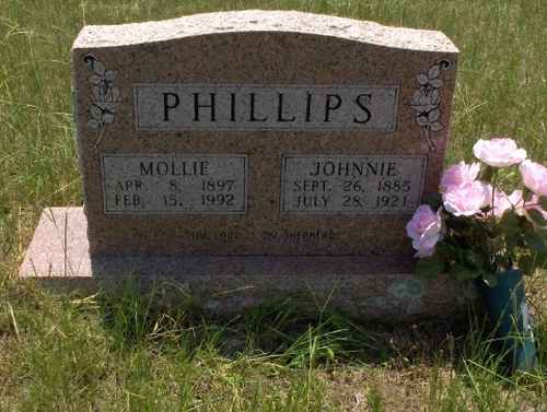
| Phillips, Mollie & Johnnie | Image | C Watkins | |
| Phillips, Rev. J. S. | Image | C Watkins | |
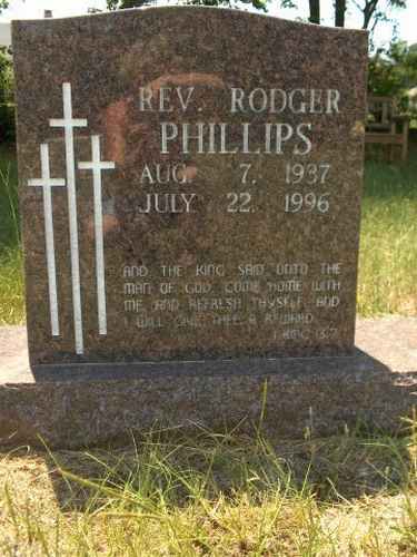
| Phillips, Rev. Rodger | Image | C Watkins | |
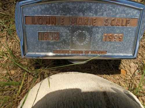
| Scalf, Lonnie Marie | Image | C Watkins | |
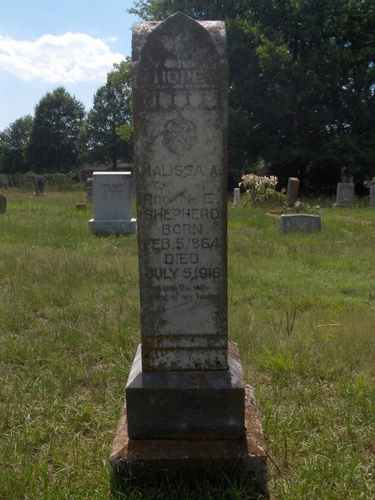
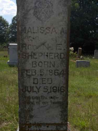
| Shepherd, Malissa A. | Image | C Watkins | |
| Shepherd, Malissa A. | Image | C Watkins | |
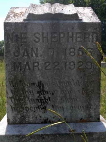
| Shepherd, N. E. | Image | C Watkins | |
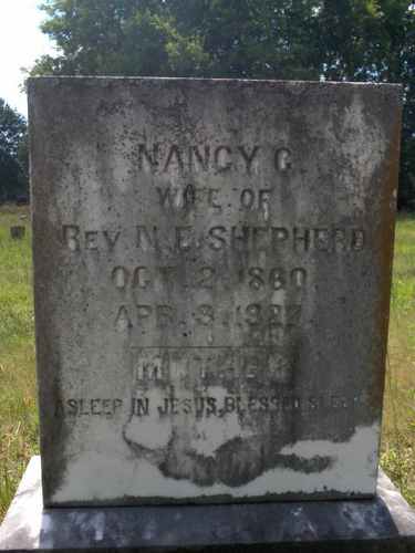
| Shepherd, Nancy C. | Image | C Watkins | |
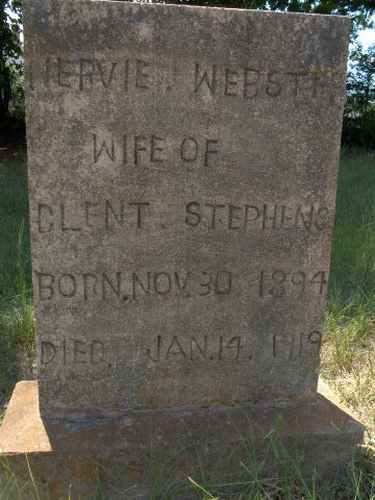
| Stephens, Nervie Webster | Image | C Watkins | |
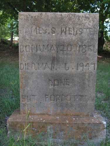
| Webster, James S. | Image | C Watkins | |
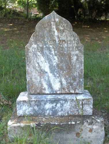
| Webster, Lotus | Image | C Watkins | |
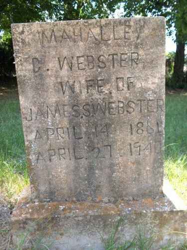
| Webster, Mahalley C. | Image | C Watkins | |
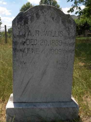
| Willis, A. R. | Image | C Watkins | |
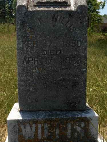
| Willis, K. | Image | C Watkins | |
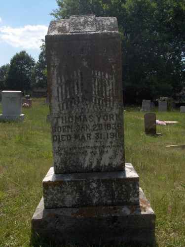
| York, Thomas | Image | C Watkins | |
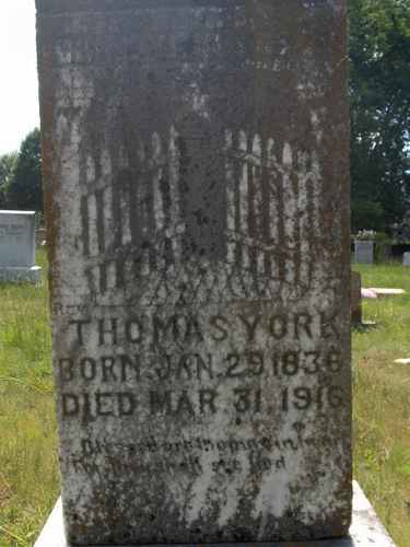
| York, Thomas | Image | C Watkins |