Contributed for use in the USGenWeb Archives by Donna Bluemink.
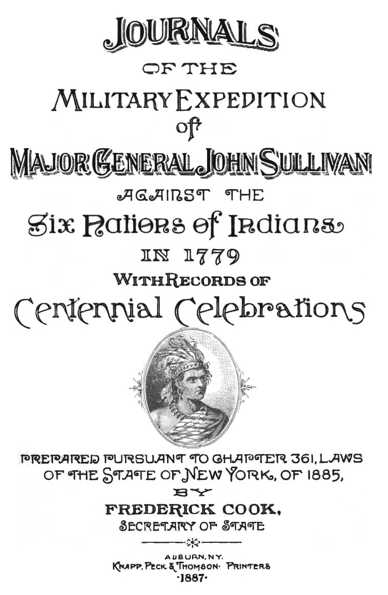
JOURNALS
OF THE
MILITARY EXPEDITION OF
MAJOR GENERAL JOHN SULLIVAN
AGAINST THE SIX NATIONS OF INDIANS
IN 1779
WITH RECORDS OF
CENTENNIAL CELEBRATIONS
Prepared Pursuant to Chapter 361, Laws of the State of New York, of 1885.
by Frederick Cook, Secretary of State
Auburn, N.Y. Knapp, Peck & Thompson Printers
1887.* * * * * *
MAPS AND ILLUSTRATIONS.
1. Title Page.
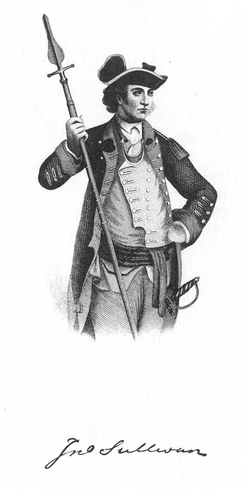
2. John Sullivan and his Signature, frontispiece.
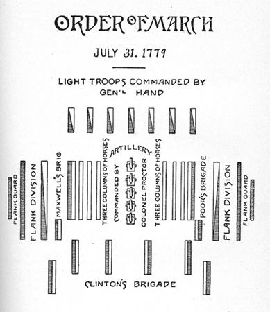
3. General Sullivan's Order of March, p. 66.
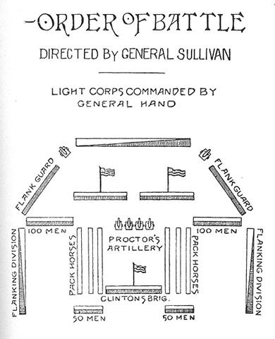
4. General Sullivan's Order of Battle, p. 67.
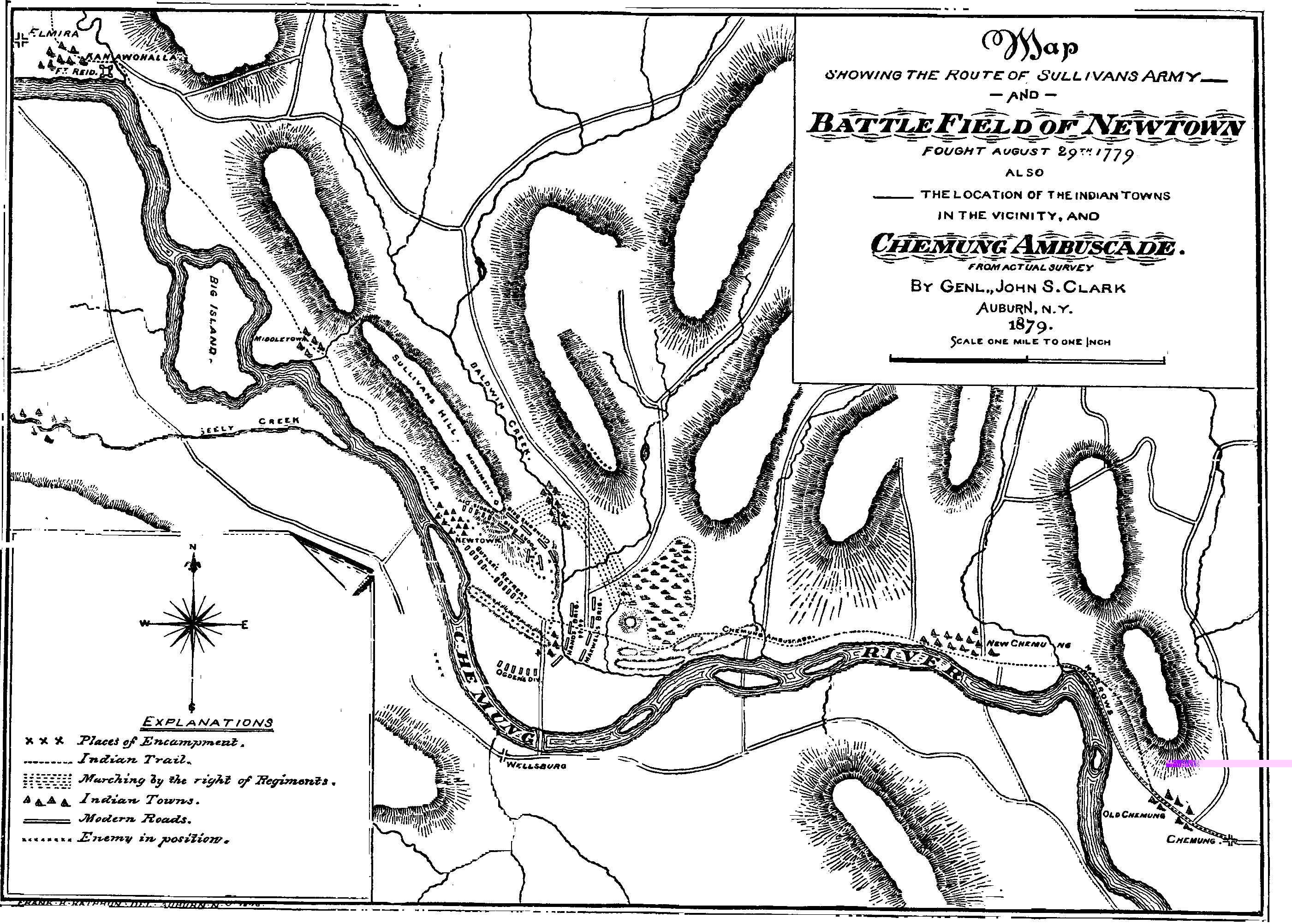
5. Map of Battlefield of Newtown, p. 127.
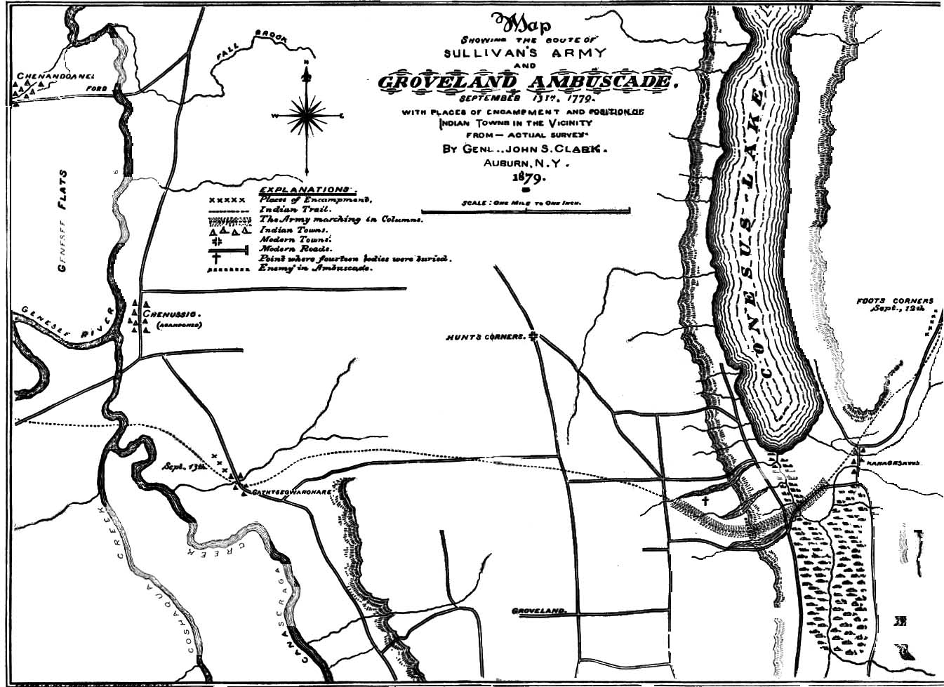
6. Map of Groveland Ambuscade, p. 131.
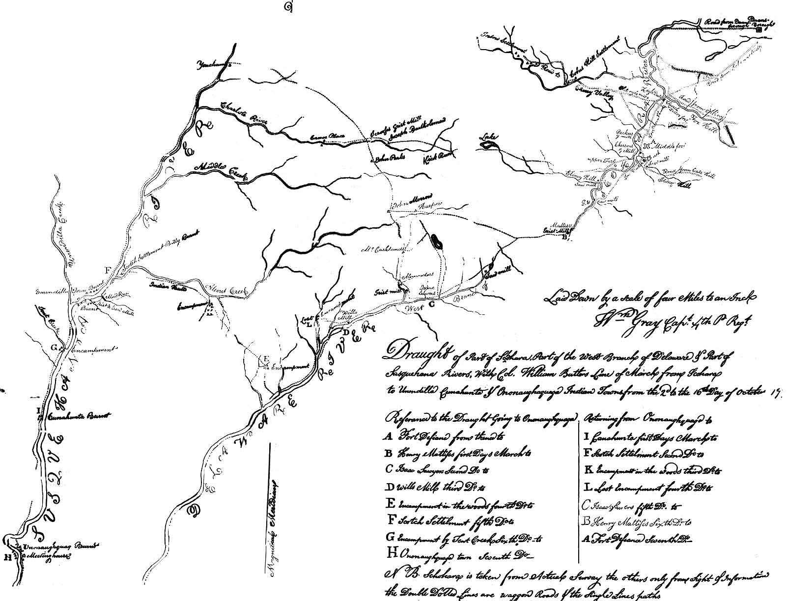
7. Draft of a part of Schoharie and the west bank of the Delaware, with Col. Wm. Butler's line of march, Oct., and Nov., 1778, p. 288.
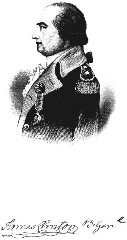
8. Brigadier General James Clinton, p. 387.
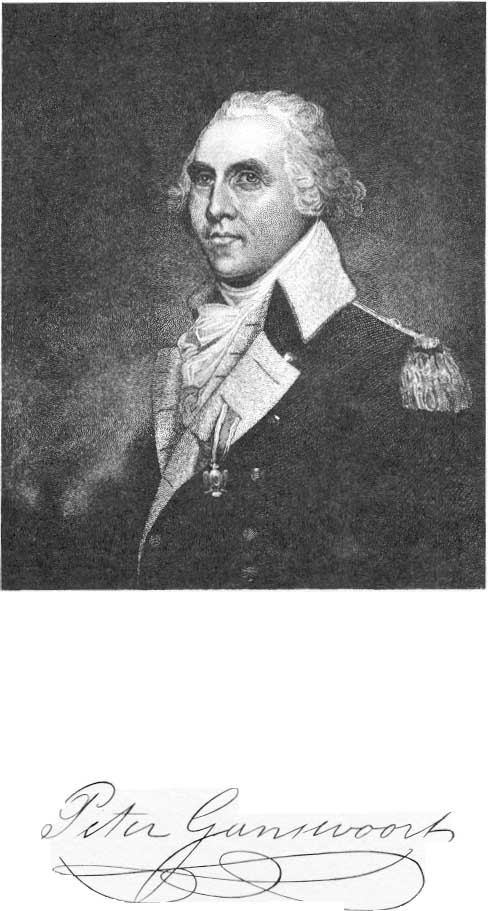
9. Colonel Peter Gansevoort, p. 479.
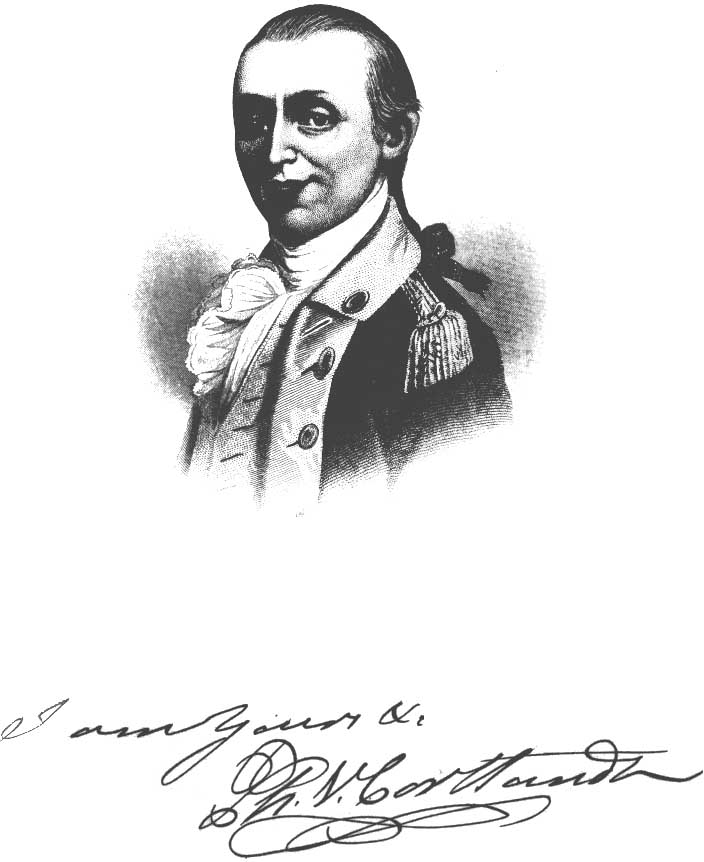
10. Colonel Philip Van Cortlandt, p. 537.
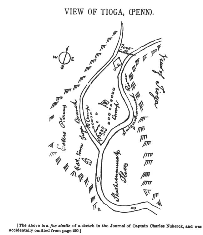
11. Map of Tioga, p 580.
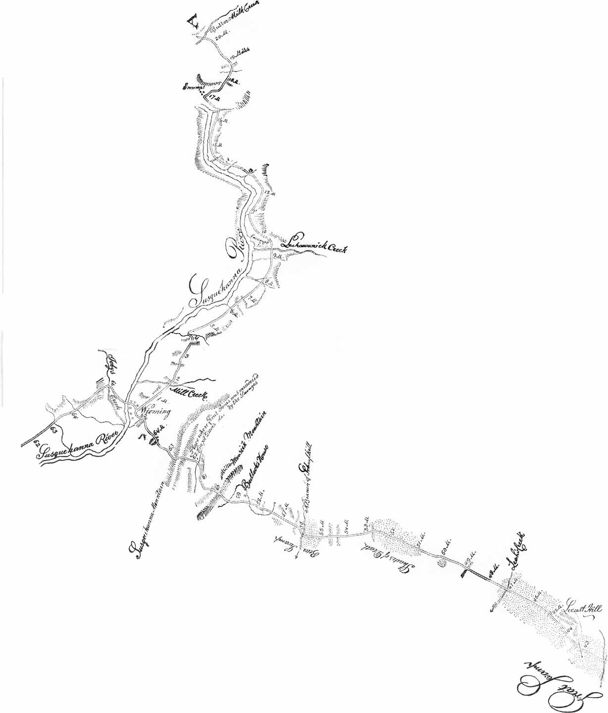
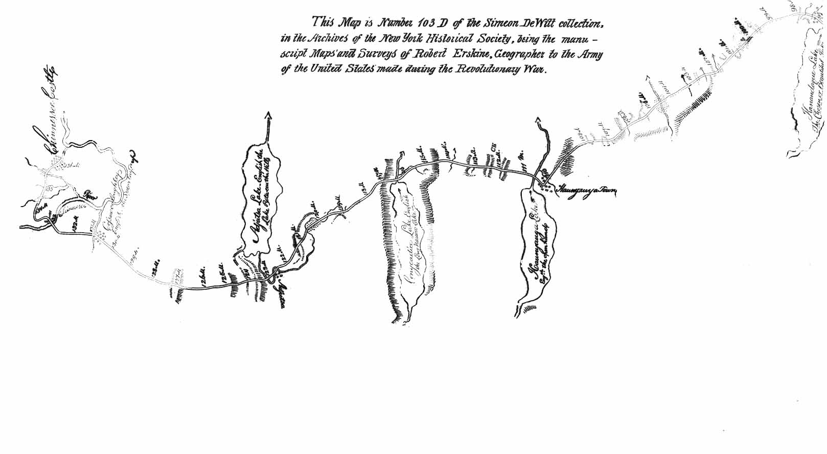
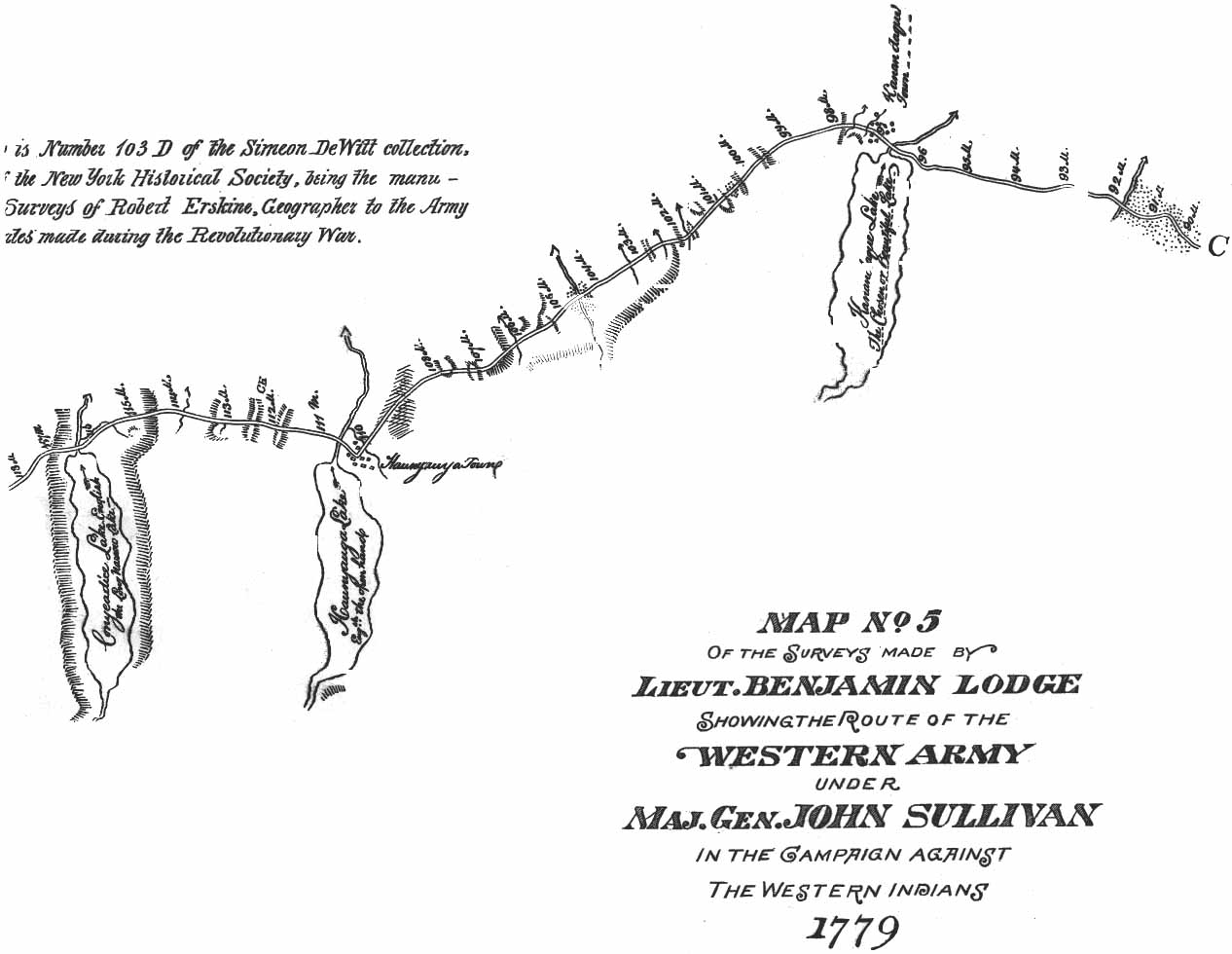
12. Route of the Western Army under General Sullivan in 1799. (In Pocket of Cover.)
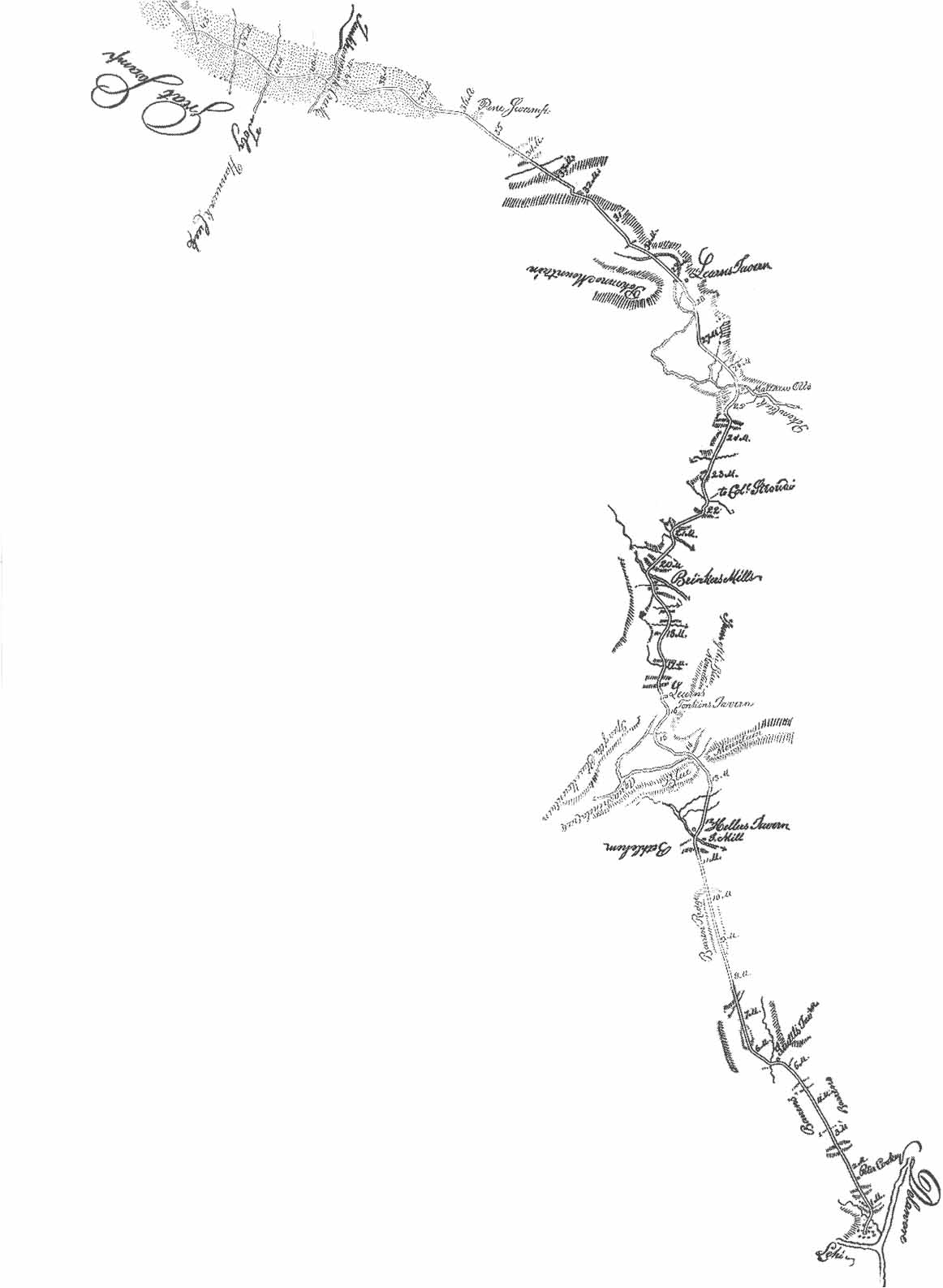
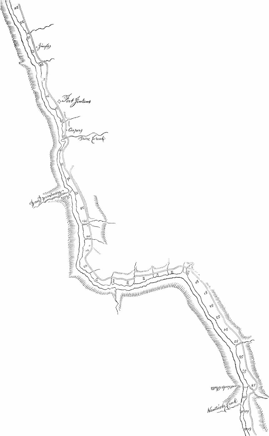
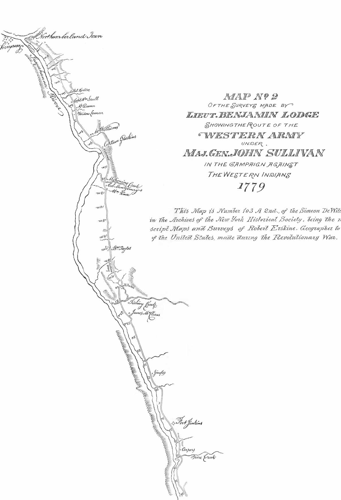
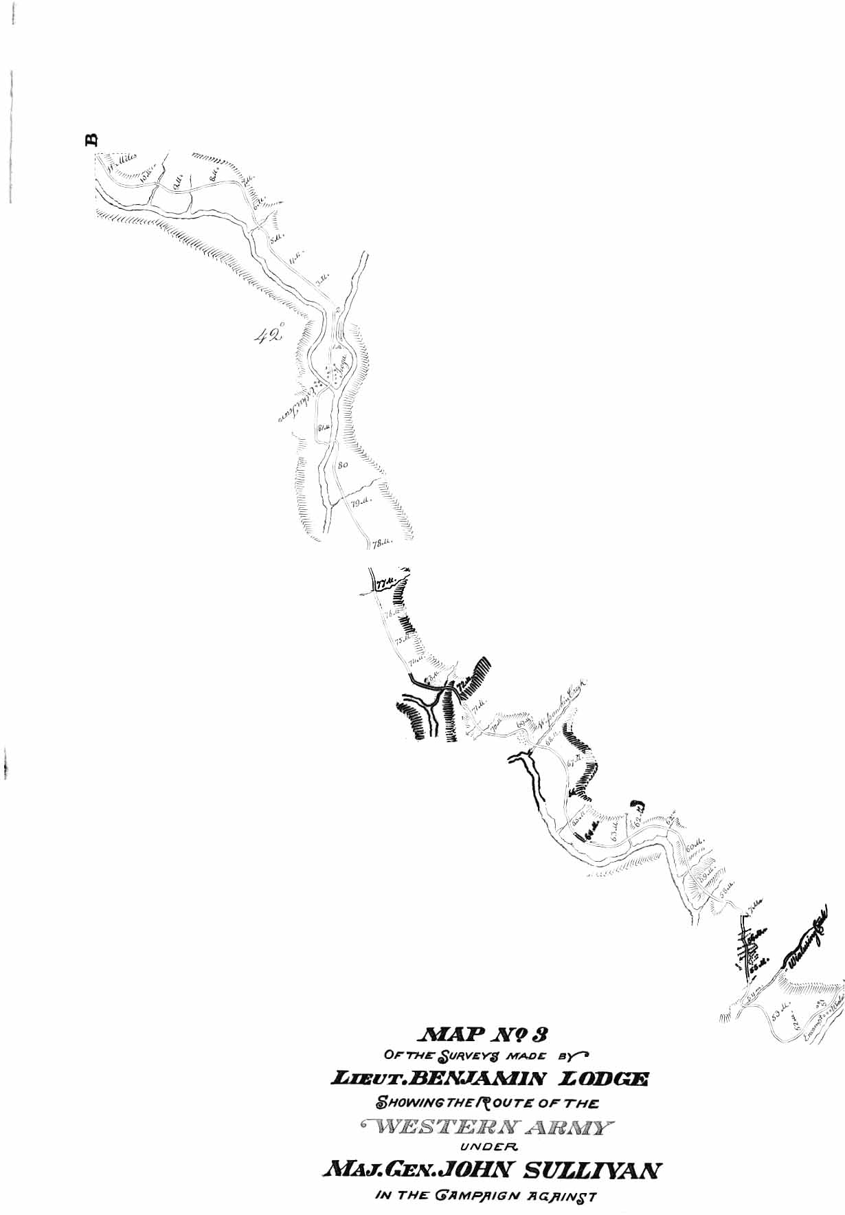
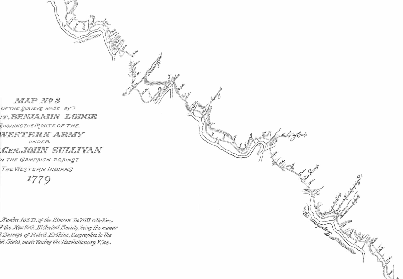
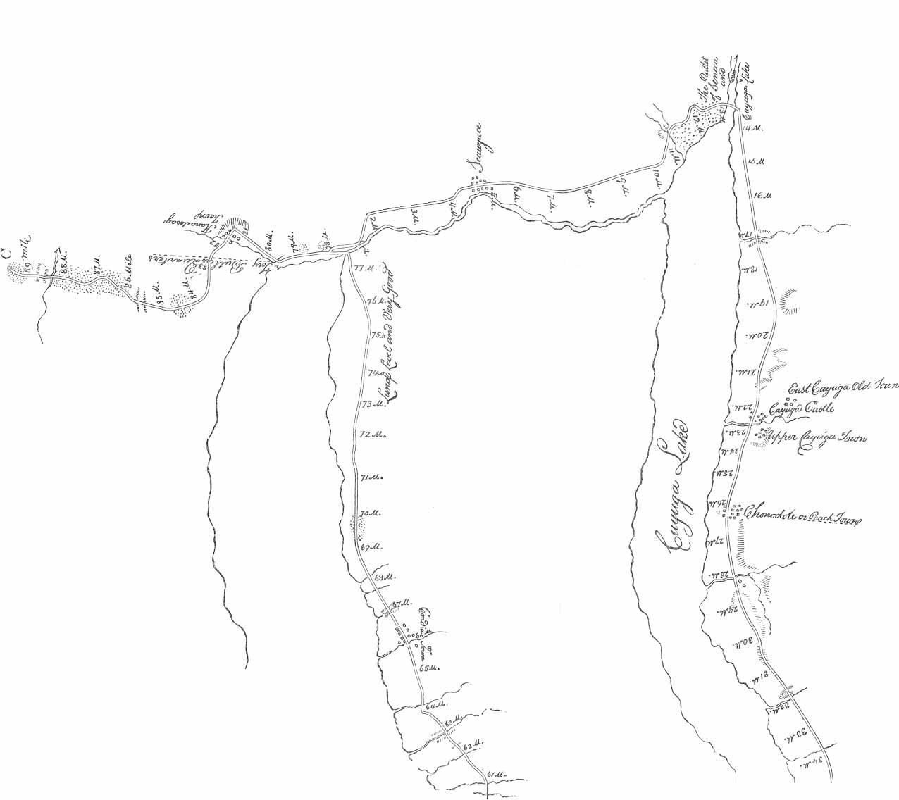
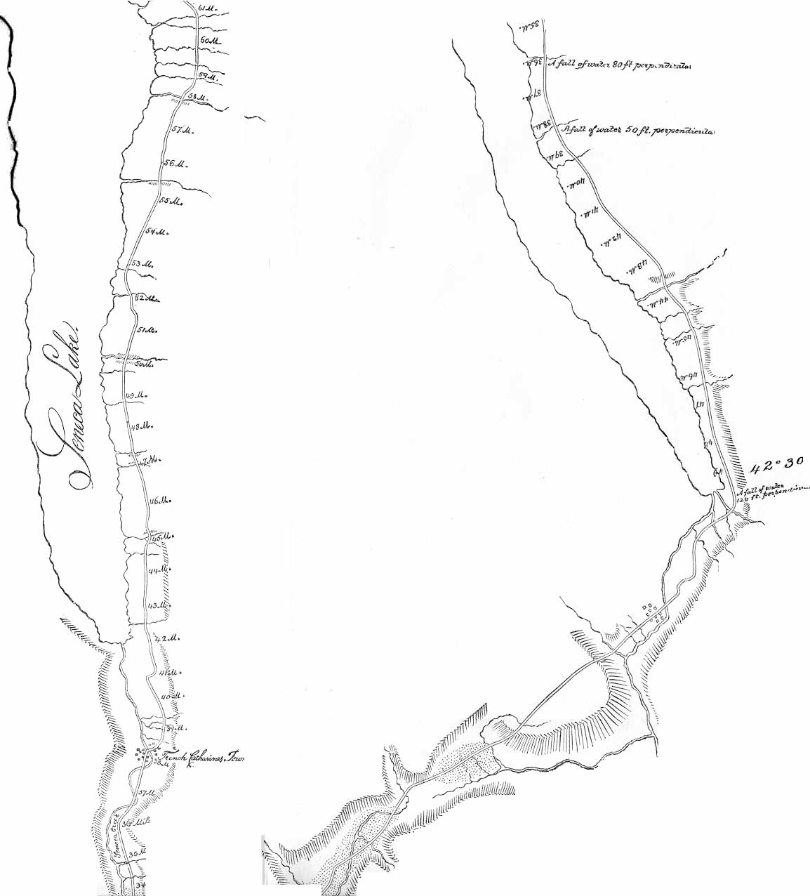
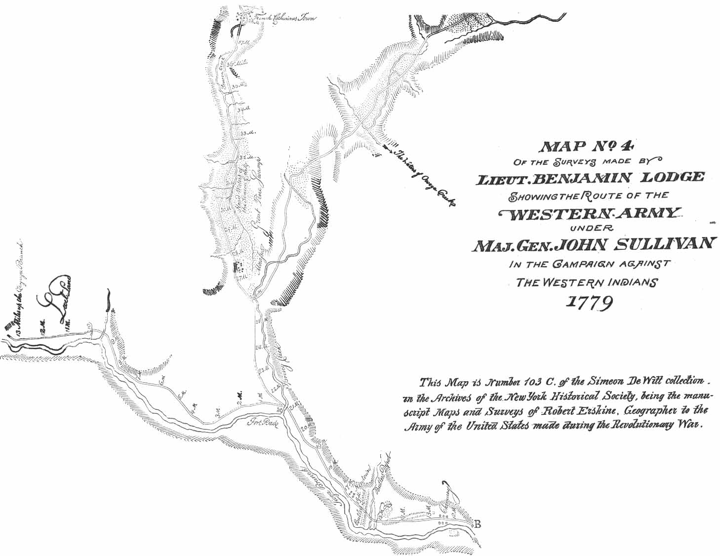
Map(s) of the Surveys made by Lieut. Benjamin Lodge showing the route of the Western Arym under Maj. Gen. John Sullivan in the Campaign against the Western Indians, 1779. This Map is Number 103 A, 1st and 2nd, B, C and D of the Simeon De Witt collection in the Archives of the New York Historical Society, being the manuscript Maps and Surveys of Robert Erskine, Geographer of the Army of the United States made during the Revolutionary War.
1. From Easton over the mountains to Wyoming. 1A and 1B.
2. From Sunbury to Nanticoke Creek. 2A and 2B.
3. From Nanticoke Creek to Chemung. 3A and 3B.
4. From Chemung to Kanadesage including Seneca and Cayuga Lakes and Col. Butler's route along the east shore of Cayuga Lake. 4A, 4B, 4C.
5. From Kanadesage to the Genesee Castle. 5A and 5C.
Return to Site Table of Contents.
Return to Book Table of Contents.
USGenWeb Archives Pennsylvania .
Technical Problems? Email Joe.