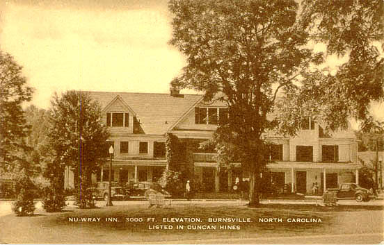
| Yancey County |
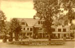
Nu-Wray Inn, 3000 Ft. Elevation, Burnsville |
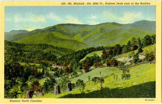
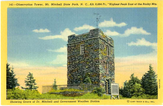
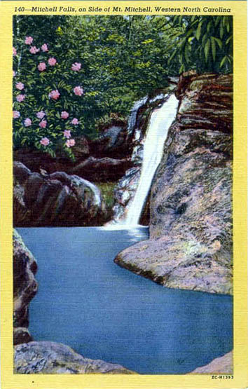
| Mount Mitchell |
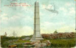
Mitchell's Monumnet on top of Mt. Mitchell, Asheville [1909] |
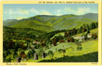
Mt. Mitchell, Alt. 6684 Ft., Highest Peak east of the Rockies |
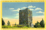
Observation Tower, Mt. Mitchell State Park, Showing Grave of Dr. Mitchell and Government Weather Station |
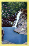
Mitchell Falls, on Side of Mt. Mitchell |
[an error occurred while processing this directive]
Return to NC USGenWeb Archives