| Allegany County |
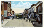
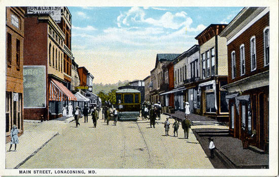
Main Street, Lonaconing |
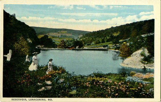
Reservoir, Lonaconing |
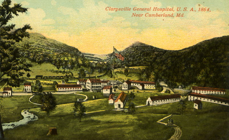
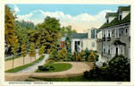
Clarysville General Hospital, 1864, Near Cumberland |
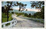
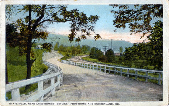
State Road, Near Armstrongs, Between Frostburg and Cumberland |

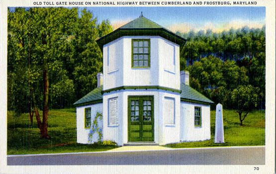
Old Toll Gate on National Highway Between Cumberland and Frostburg |
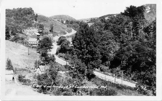
U. S. 40, 6 miles east of Cumberland |
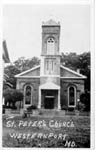
St. Peter's Church, Westernport |
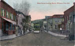
Main Street. looking North, Western Port |
| Cumberland |

Decatur Street, Cumberland |

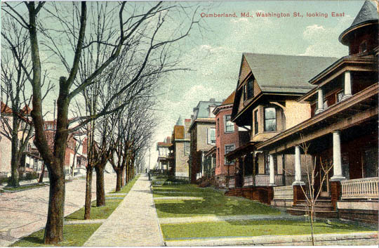
Washington St., looking East, Cumberland |
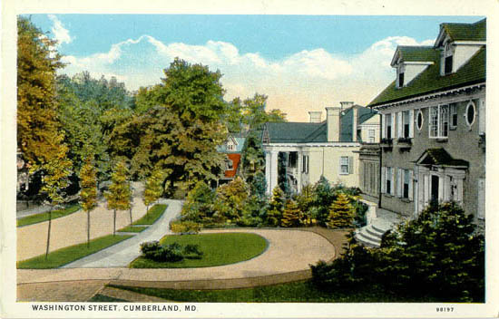
Washington Street, Cumberland
|
|

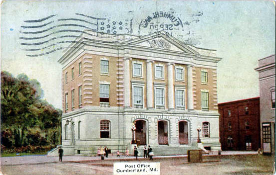
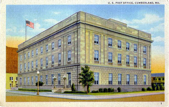
Post Office, Cumberland [1908] |
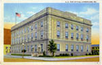
Post Office, Cumberland |
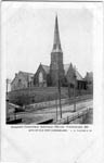
Emanuel Protestant Episcopal Church, Cumberland |

Celanese Corp. of America, Cumberland |
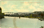
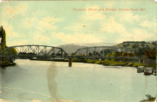
Potomac River and Bridge, Cumberland |
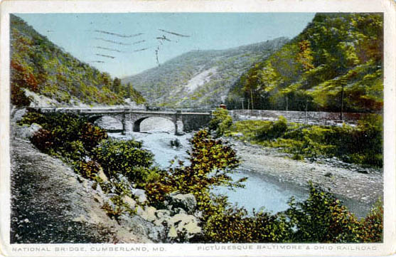
National Bridge, Cumberland, Picturesque Baltimore & Ohio Railroad |
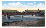
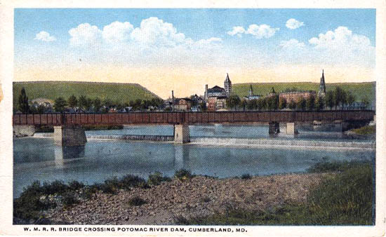
W. M. R. R. Bridge Crossing Potomac River Dam, Cumberland |
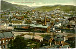
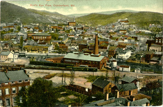
Bird's Eye View, Cumberland |
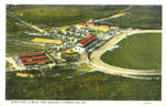
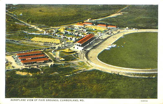
Aeroplane View of Fair Grounds, Cumberland |
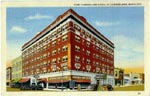
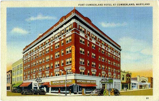
Fort Cumberland Hotel, Cumberland |
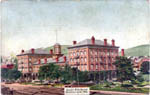
Queen City Hotel, Cumberland |
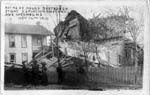
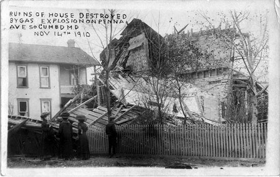
Ruins of House Destroyed by Gas Explosion, Penna Ave So., Cumberland [Nov. 14th 1910] |

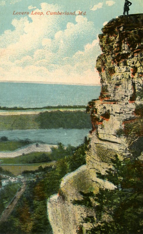
Lover's Leap, Cumberland |

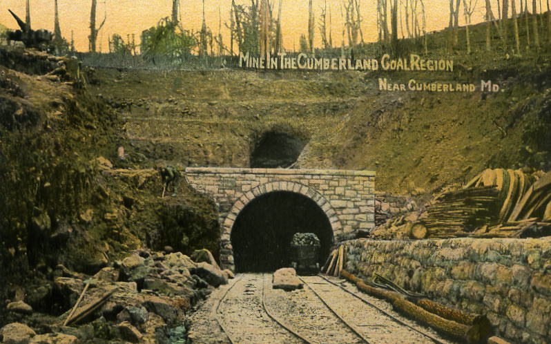
Mine in the Cumberland Coal Region, Near Cumberland |

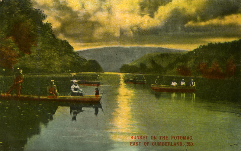
Sunset on the Potomac, East of Cumberland |
|
| The Narrows |
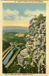
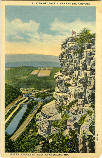
View of Lover's Leap and the Narrows, Cumberland |
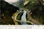
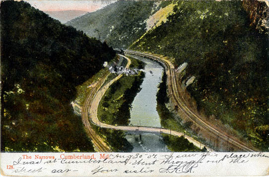
The Narrows, Cumberland |

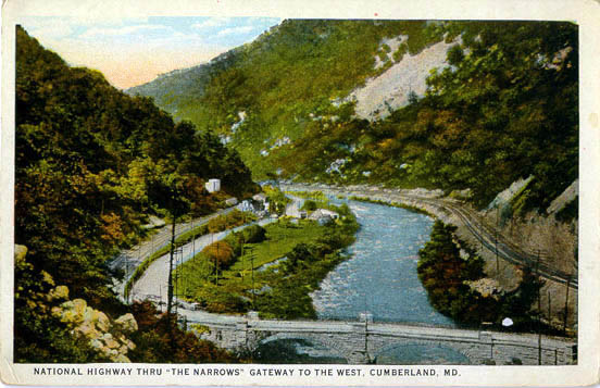
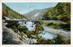
National Highway Thru "The Narrows", Cumberland |
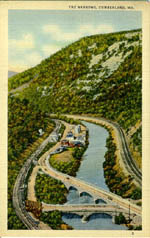
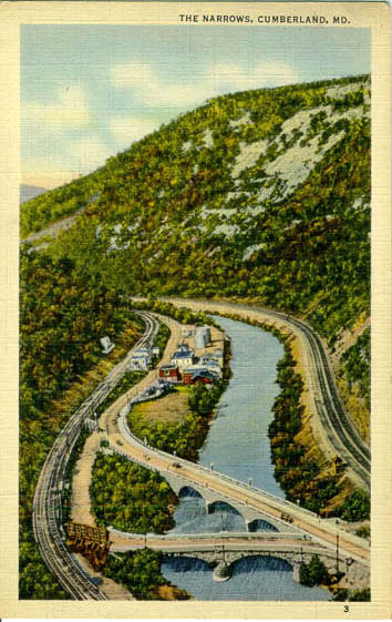
The Narrows, Cumberland |
|
Frostburg |
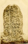
Gen. Braddock's II Mile Stone, 1755, Frostburg Mt. |
|
|
|