
|

- This section displays maps of national interest. Maps that show our westward expansion, our land survey systems, and more will be included here. Please excuse our dust as we organize this section.
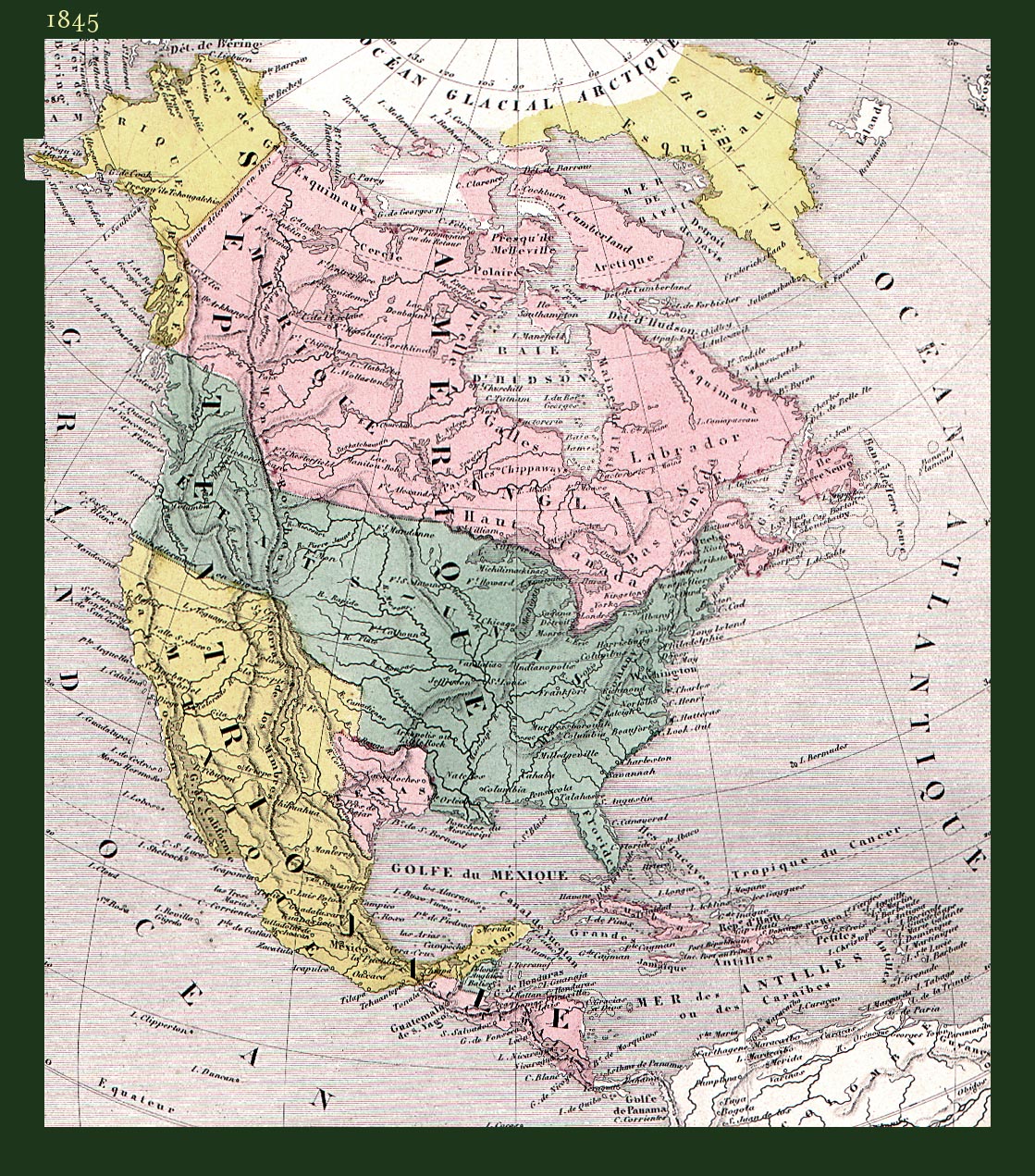
North America, 1845 (544k)
This 1845 French map shows an Independent Texas and the U. S. southwest as
100% “Mexique” (Mexico). It is from the Atlas Universel Illustr�.
The map is titled Am�rique Septentrionale. The map measures about 7 x 8
inches, while the printed area is about 17 x 11 inches. Printed outside the actual map
but within the borders are various American animals (not shown here). A thumbnail
version is used in our masthead design.
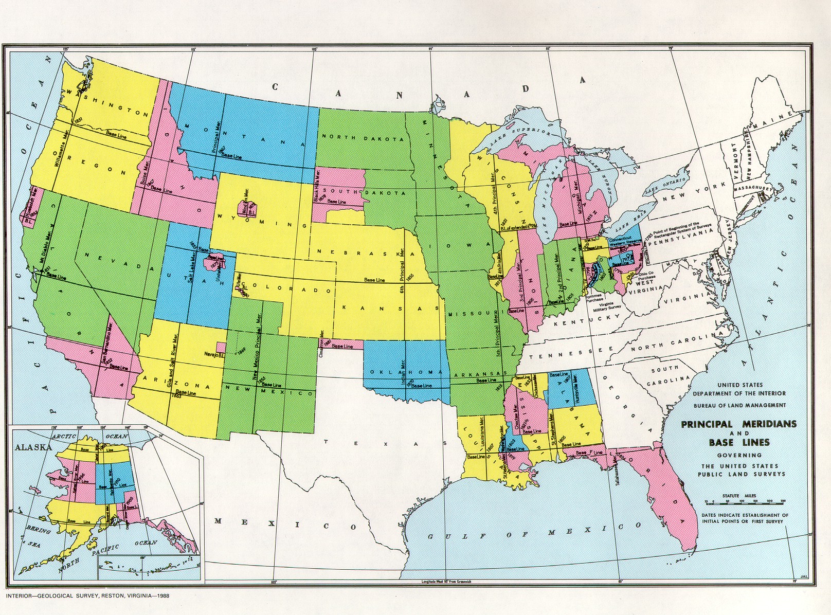
- US Principal Meridians and Base Lines - small (761k), United States Department of the Interior, Bureau of Land Management, 1988. Submitted by Dan Rathbun.
- US Principal Meridians and Base Lines - large (1,111k), United States Department of the Interior, Bureau of Land Management, 1988. Submitted by Dan Rathbun.
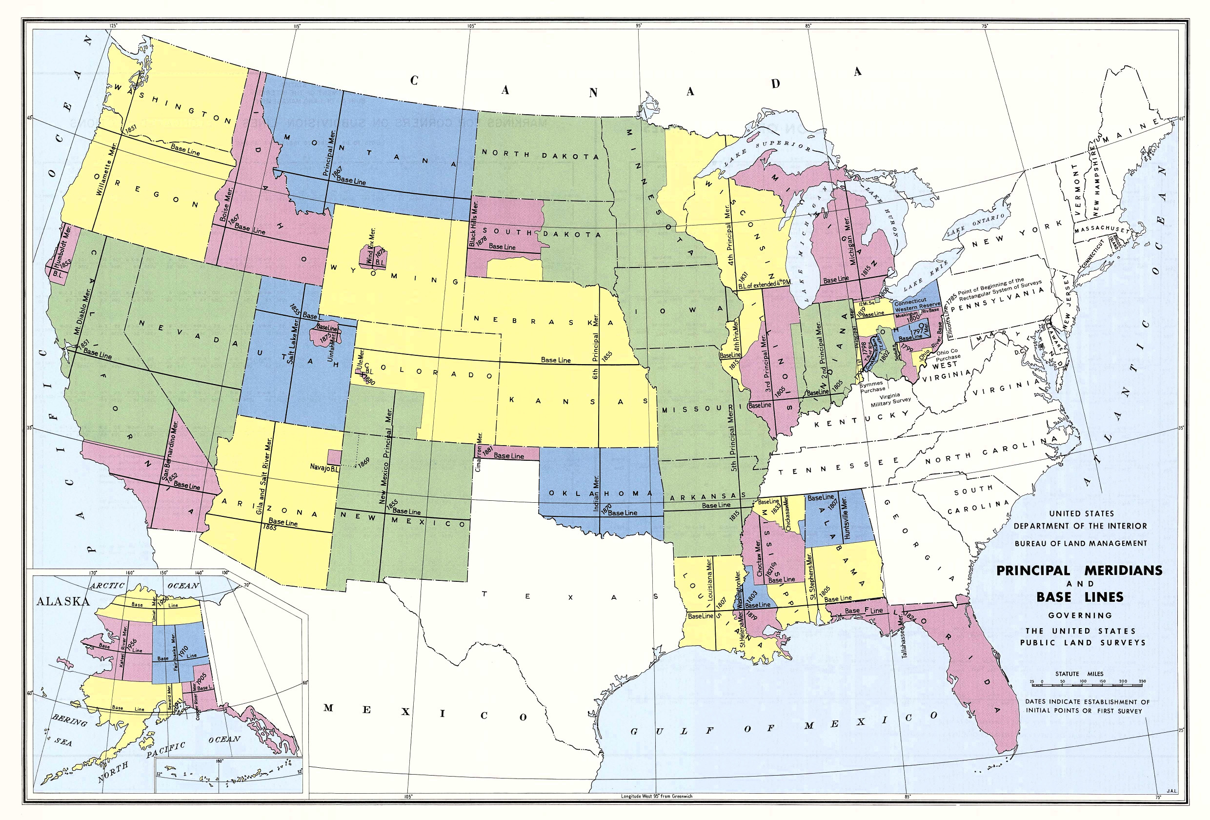
- U. S. Meridians and Baselines (479k)
In many parts of the United States, land is surveyed with respect to an
initial point defined by the intersection of a Prime Meridian and a Base
Parallel of Latitude. Many such systems have been established at different
times to cover different territories. This map shows the ones in use for
the 48 contiguous states.
- National Geographic Vol. 26 July-Dec, 1914.
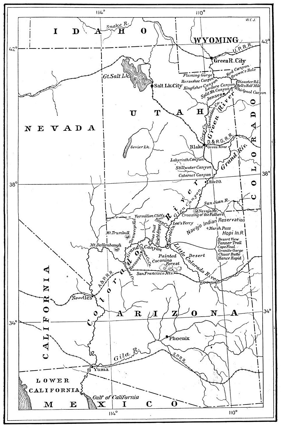
Map of Grand Canyon from Green River Wyoming to mouth of ado River in Mexico (278k)
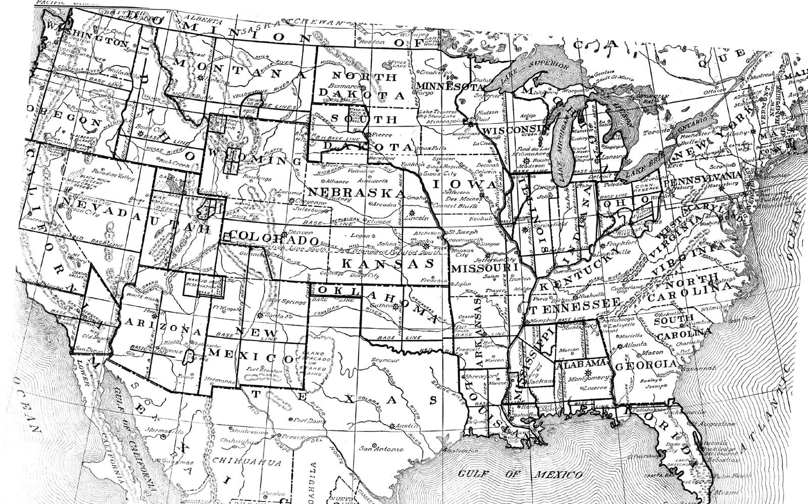
- Western United States, circa 1897.
Includes Arizona, California, Idaho, Nevada, Oregon, Utah, Washington, and parts of
Colorado, Montana, New Mexico, and Wyoming from "Natural Elementary Geography",
Redway and Hinman, American Book Company (742k)
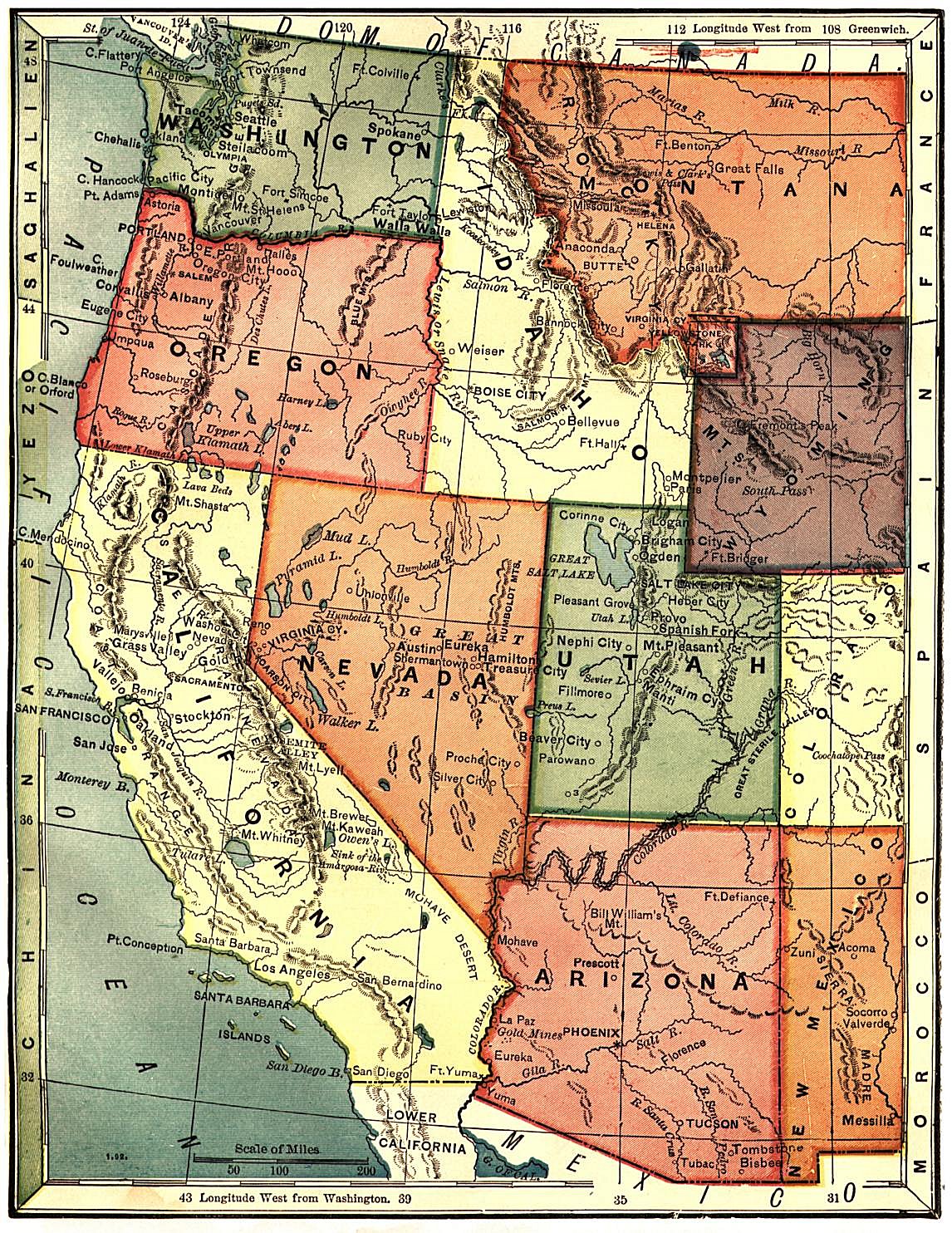
- Pacific States and Territories
James Monteith, 1884 - This is a neat map which includes Arizona, California, Colorado,
Idaho, Montana, Nevada, New Mexico, Oregon, Utah, Washington and Wyoming. (647k)
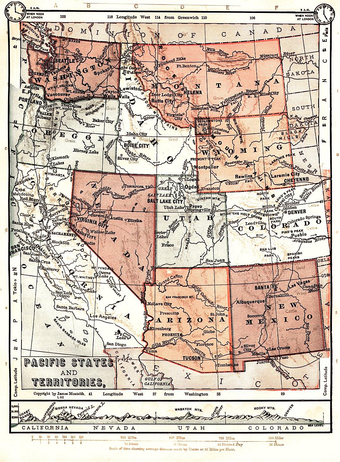
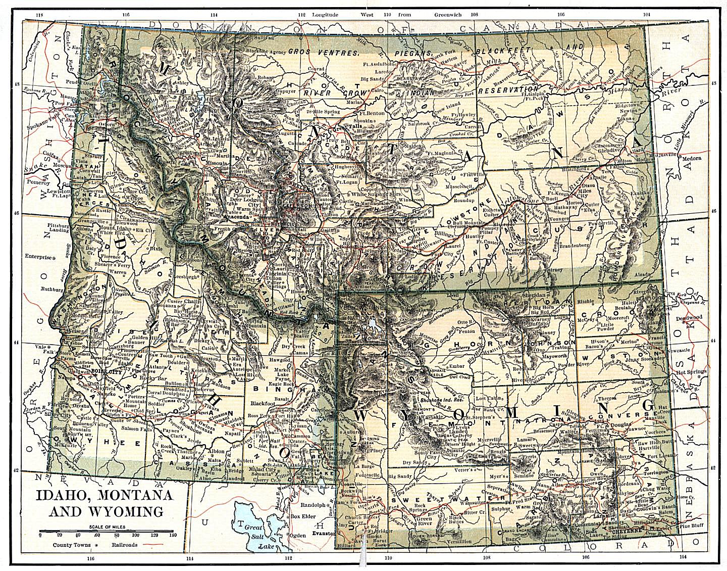
- Map of Idaho Montana and Wyoming -
International Cyclopaedia: Vol VII (1892), Dodd, Mead & Company
- The New Reference Atlas of the World,-1910
"A new series of phisical, political and historical maps compliled from government surveys
exibiting the latest results of geographical research.
With special chapters on the discovery of the North Pole,
the Panama Canal, ect"
New York, C. S. Hammond & Company.
Scanned and donated by George Stephan. avg file size (1.4 mb).
The
National Maps Table of Contents
is part of the
United States Digital Map Library
This project and its all-volunteer staff are dedicated to free, online access
for the general public. We rely on contributions, and if you would like to be
part of the Digital Map Library team, make contributions, have questions about
our copyright policy, or the use of our graphics, please visit our
Contributor & Copyright Page
.
Our map graphics require long download times because the file sizes are quite
large. Although they are normally around 500k or less, they can run as high as
1.5 megs. If you experienced difficulty with downloading any of the maps,
please visit our
Advice Page.

|
Other National Links
|

|
-
This page was last updated Sunday, 31-Oct-2021 19:46:07 EDT
This page was first posted
on: 09 May 1999
Copyright © 1999-Copyright © 1999- USGenWeb Archives Project
for USGenWeb Archives Project
|
