Nebraska Digital Map Library
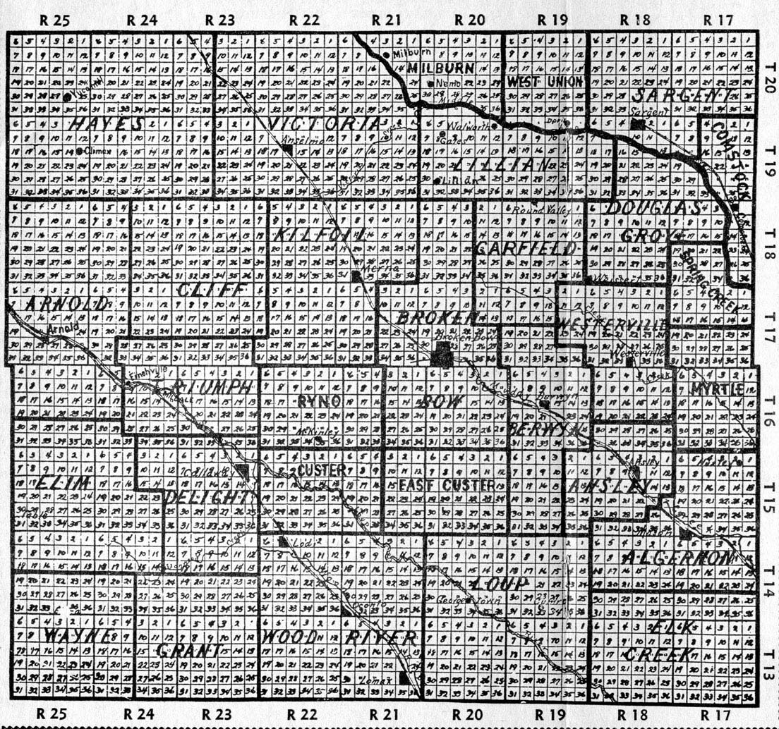
 The following maps of Nebraska and the surrounding territories are online in the United States Digital Map Library, and are available for you to download.
If you would like to make contributions of maps to this page, please e-mail Rebecca Maloney. Your contributions are both needed and appreciated!
Nebraska State Maps
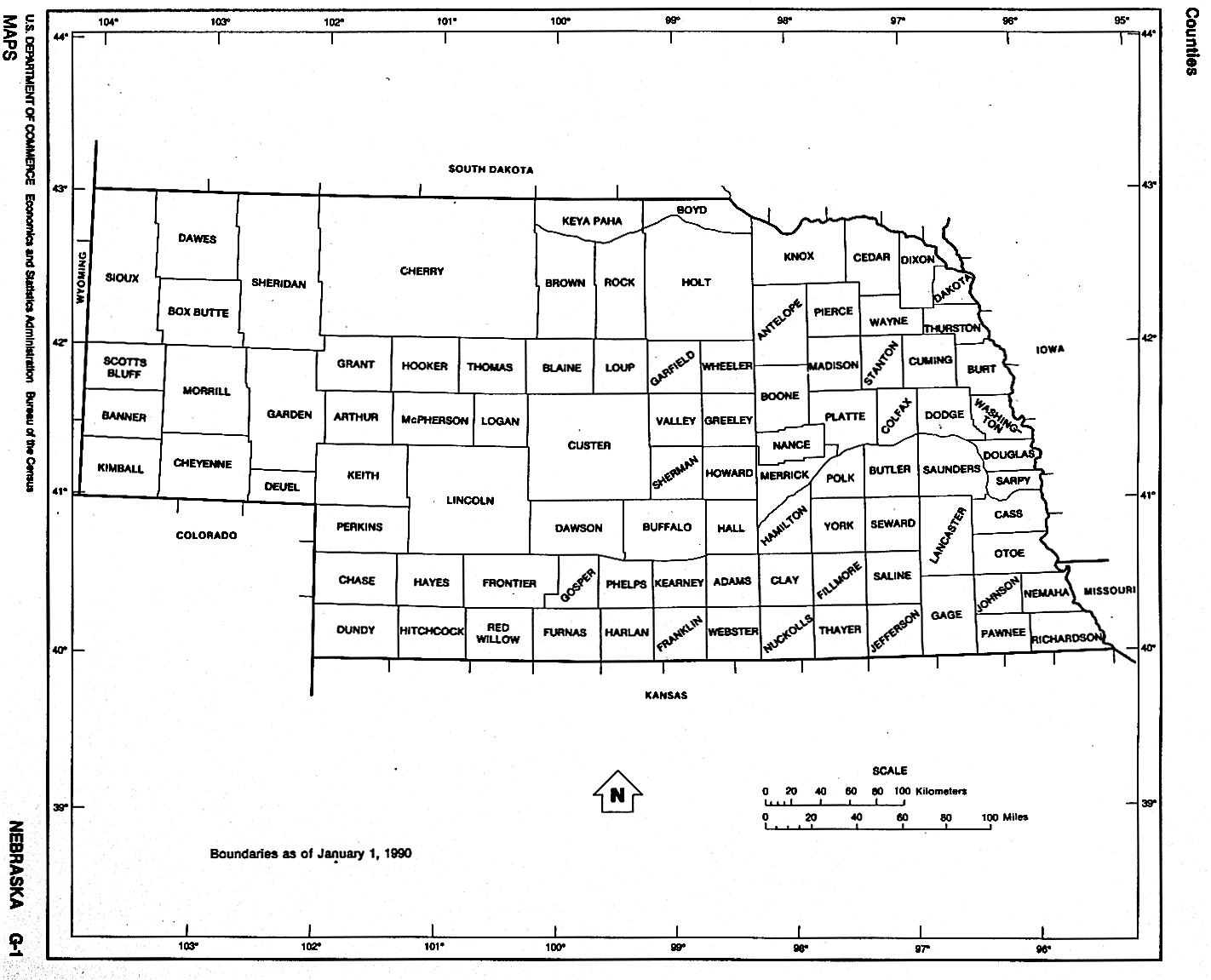
Nebraska County Boundaries, 1990 U.S. Dept. of Commerce, Bureau of the Census (94kb)
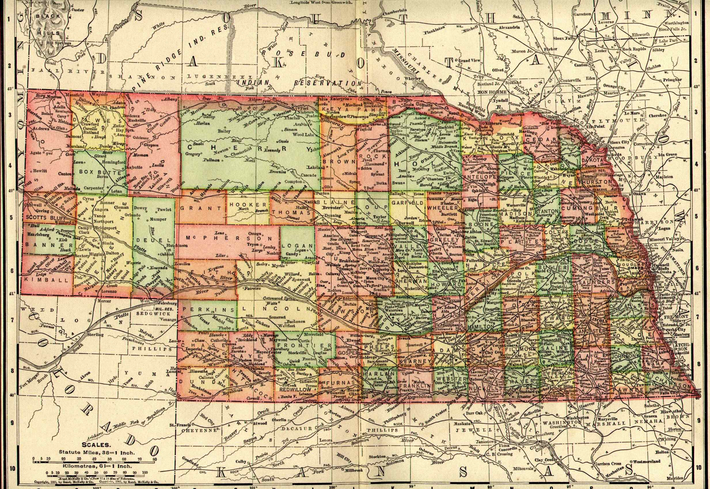
State of Nebraska, The New International Encyclopedia, by Dodd, Mead and Company, New York, NY., 1908. Scanned by Danny Brown. (955kb)
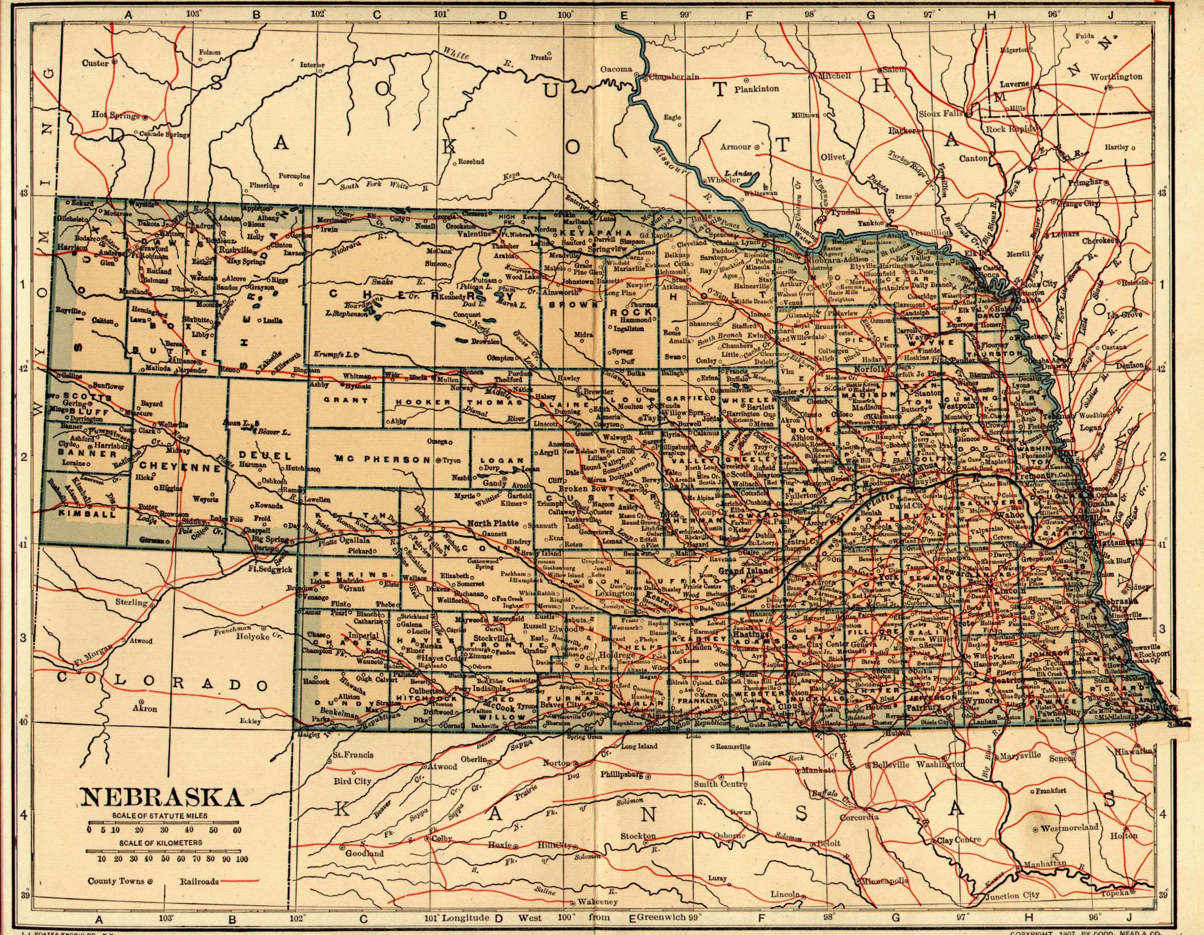
Map of Nebraska, Copyright 1901, Rand McNally & Co. Scanned by Danny Brown. (738kb)
U.S. DIGITAL MAP LIBRARY INDEX
Joy Fisher
Coordinator
Rebecca Maloney
Special Projects Coordinator


Copyright © 1999- USGenWeb Archives Project
[an error occurred while processing this directive]