
|
.
The USGenWeb Archives Digital Map Library
- Idaho State Maps
The
Idaho Digital Map Library
is in need of maps! If you would like to contribute, please email Special
Projects Coordinator:
Rebecca Maloney
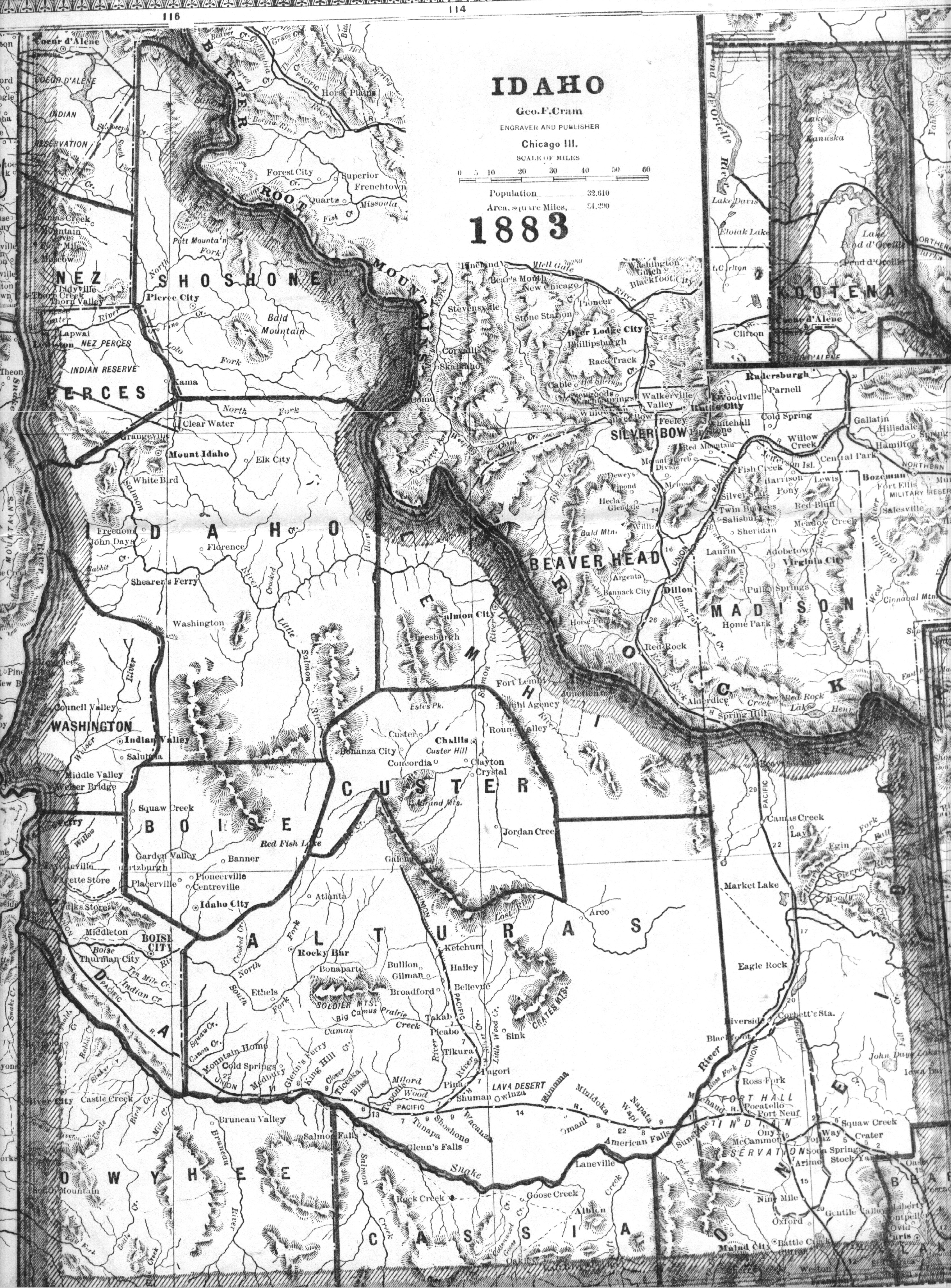
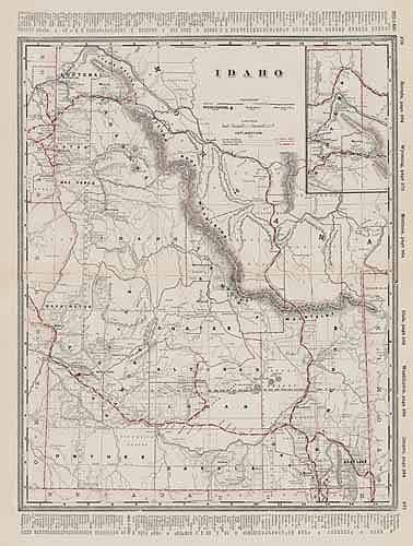
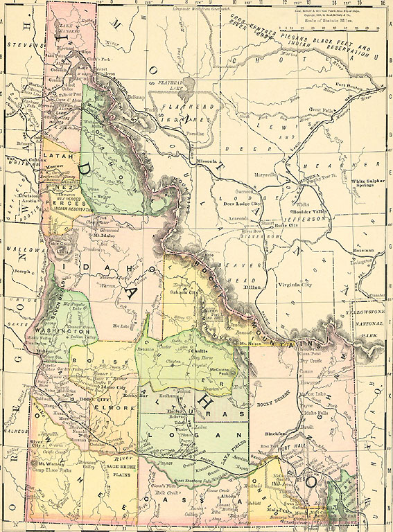
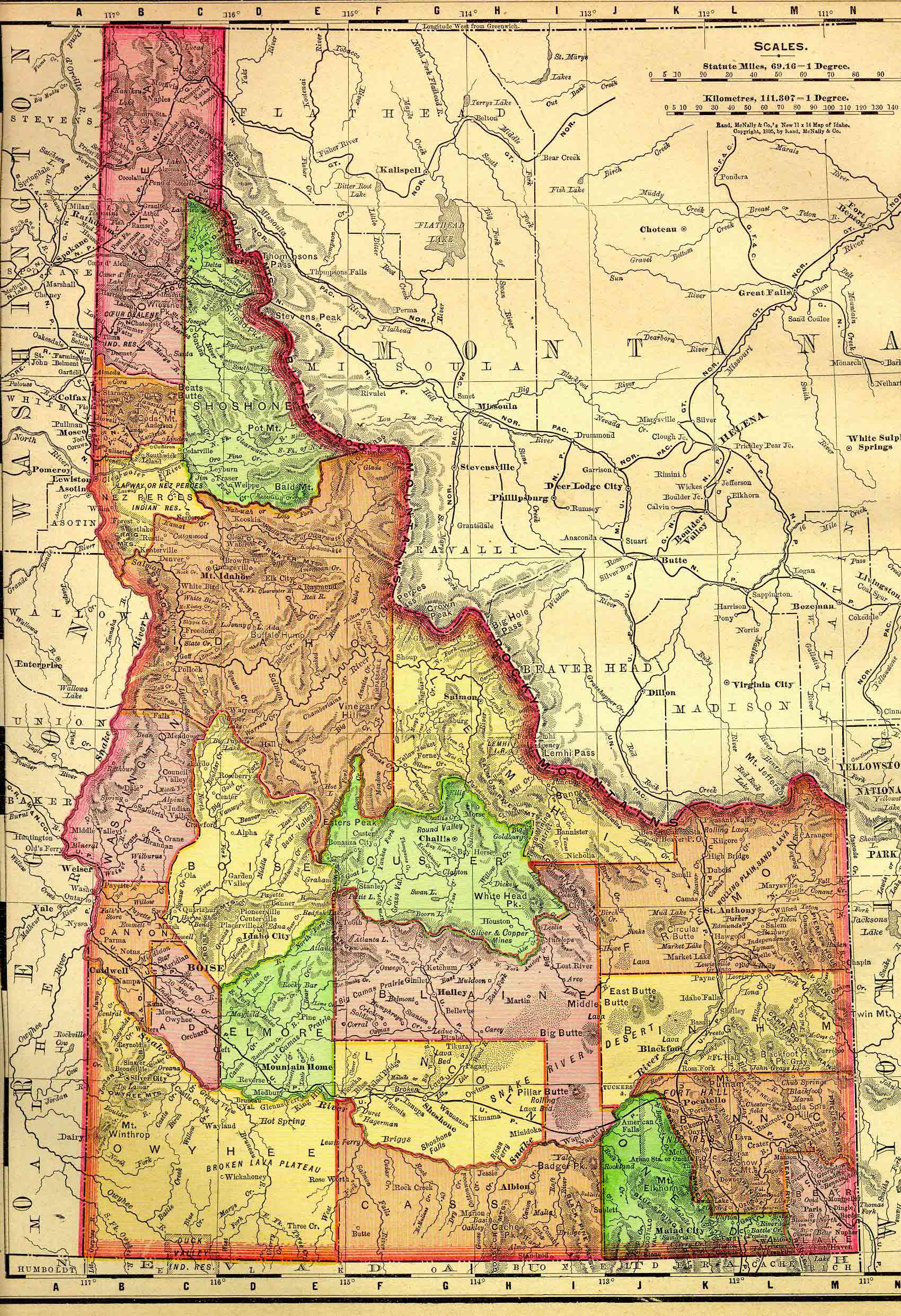
Idaho State Maps
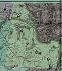
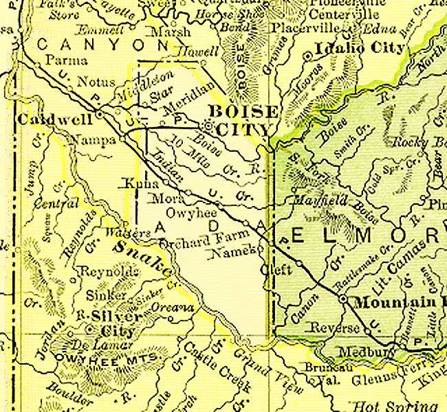
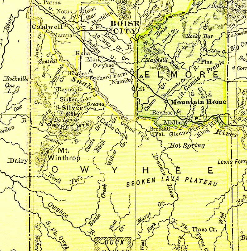
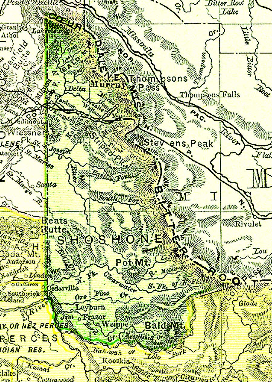
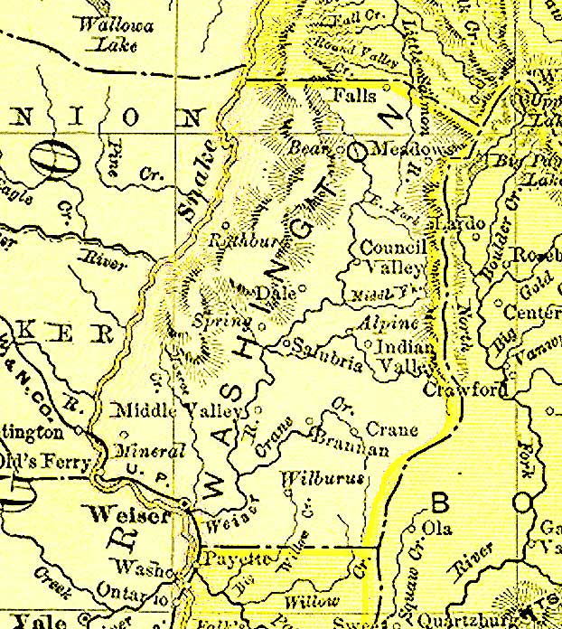
Idaho County Maps
|
|
Alturas |
|
|
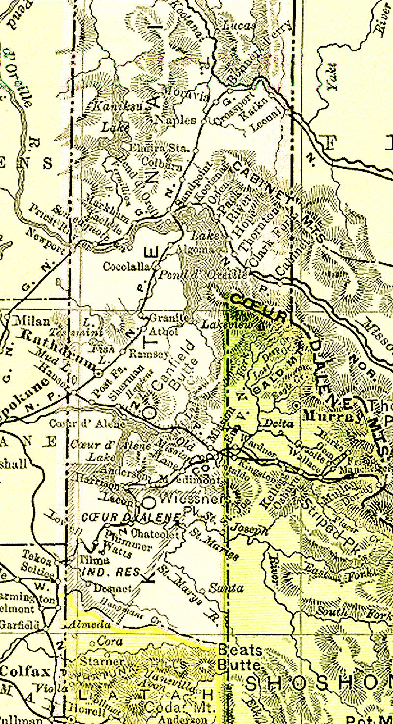
Benewah |
|
|
|
Bonner |
Bonneville |
Boundary |
Butte |
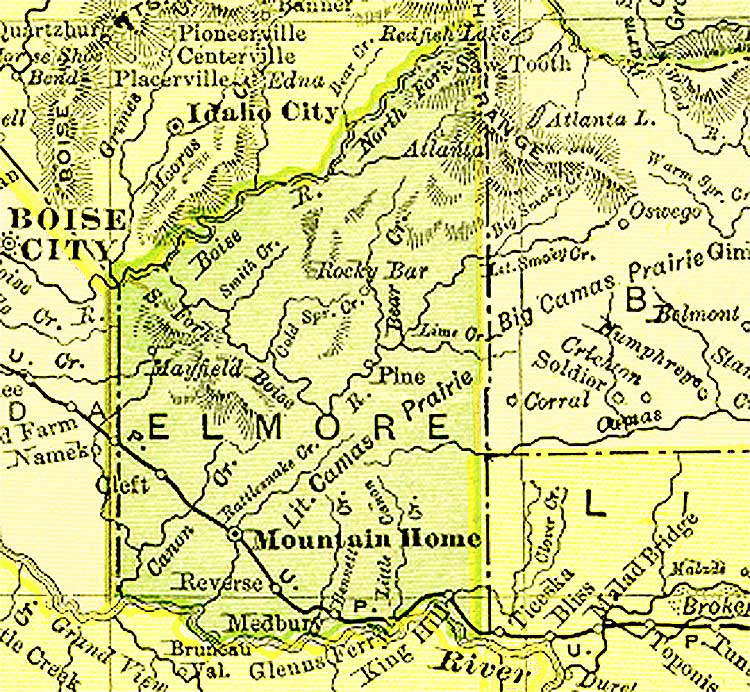
Camas |
|
Caribou |
|
Clark |
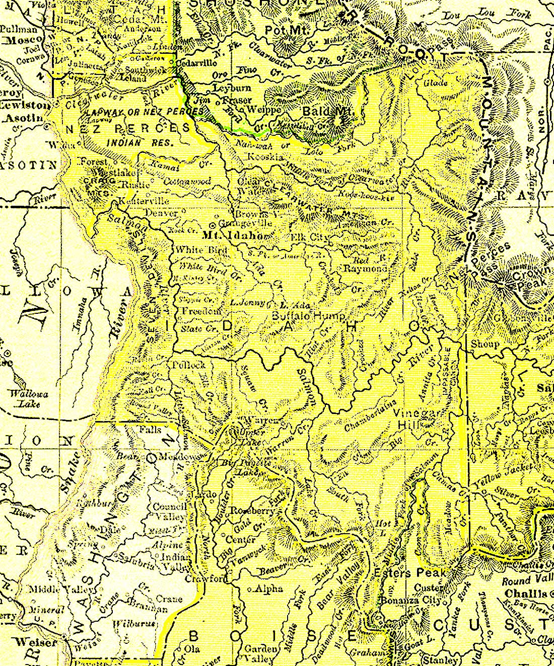
Clearwater |
|
|
Franklin |
|
Gem |
Gooding |
|
Jefferson |
Jerome |
|
|
|
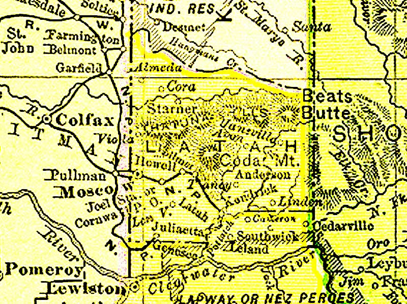
Lewis |
|
Madison |
Minidoka |
|
|
|
Payette |
Power |
|
Teton |
Twin Falls |
Valley |
|
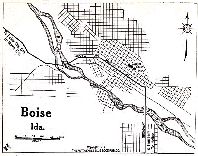
Idaho City Maps
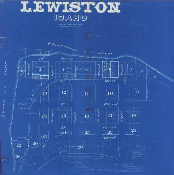
Miscellaneous Maps
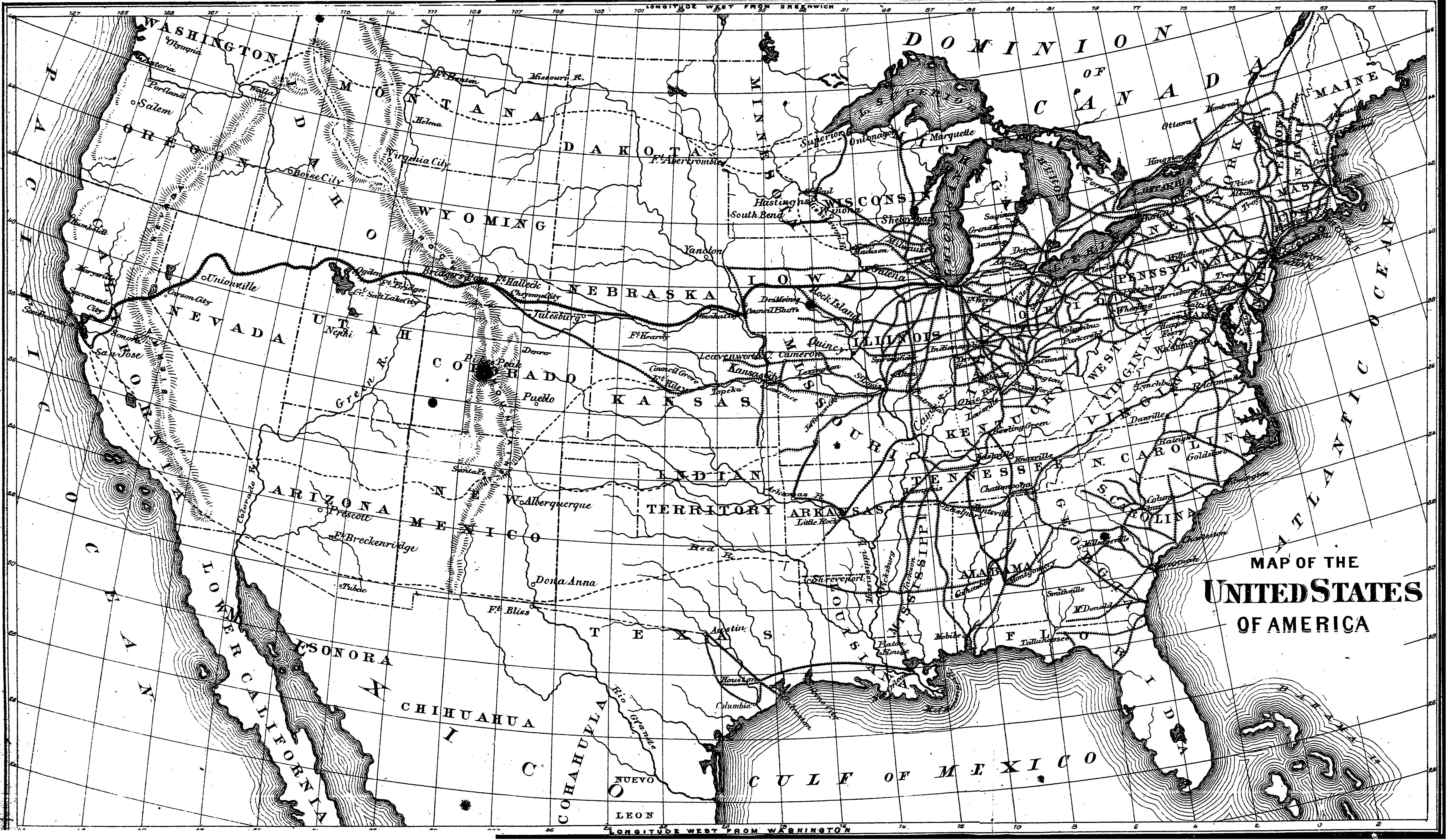
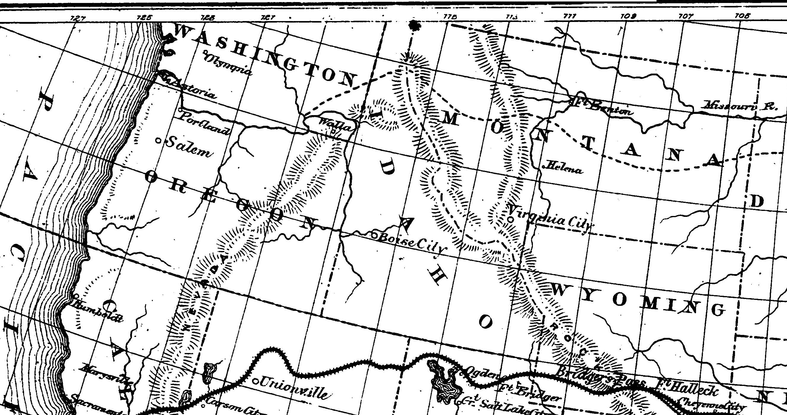
- US 1869 (8.57 MB) and Northwest 1869 - Frederick B Goddard, Where to emigrate and why : homes and fortunes in the boundless West and the sunny South : their climate, scenery, soil, productions, railroads, mining interests, and general resources, the cost of farm lands, how to obtain titles, the Homestead and other land laws, the rates of wages, & c., & c. : with a complete history and description of the Pacific railroad (Philadelphia, Pa.: Peoples Pub. Co., 1869)
-
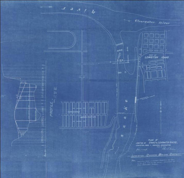
Plan of Junction of Snake and Clearwater Rivers, Lewiston, Idaho and Concord, Washington. (1897) - [Concord was later changed to Clarkston]
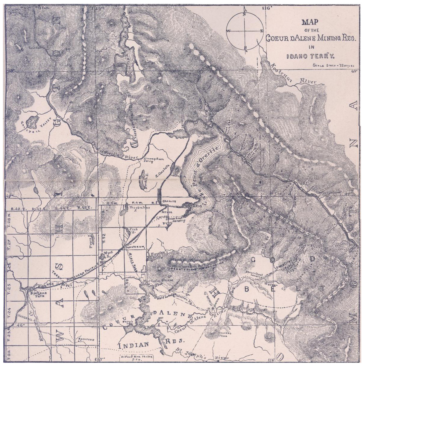
- Couer d'Alene Mining (1884)
|
Other Idaho Links
|

|
.
USGenWeb Archives
Joy Fisher
Coordinator
Rebecca Maloney
Special Projects Coordinator

Copyright 1999 - USGenWeb Archives Digital Map Project.
|