Maps from 1824 to present
Created From
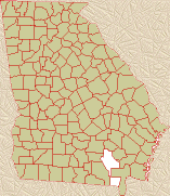
Appling County
Land Ceded To:
Clinch County (1850)
Coffee County (1854)
Pierce County (1857)
Bacon County (1914)
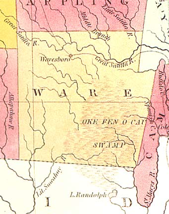
Map from 1830
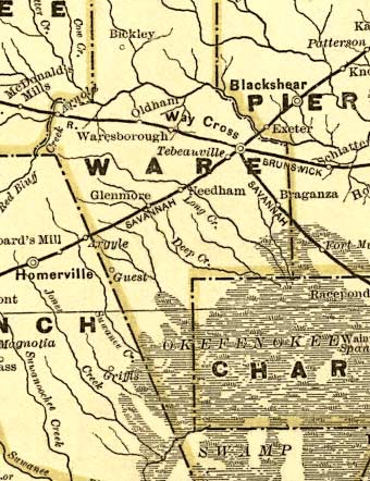
Map from 1839
Map from 1863
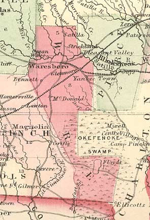
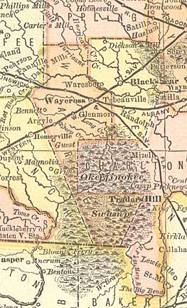
Map from 1874
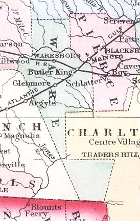
Map from 1883
Map from 1885
Map from 1895
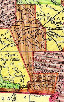
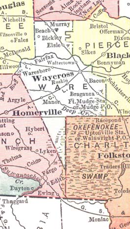
Map from 1904
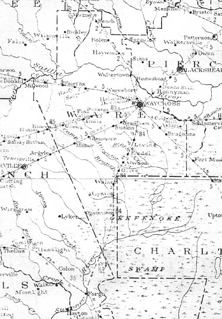
Map from 1910
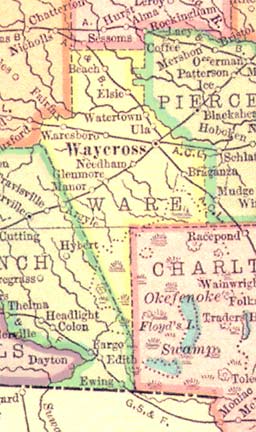
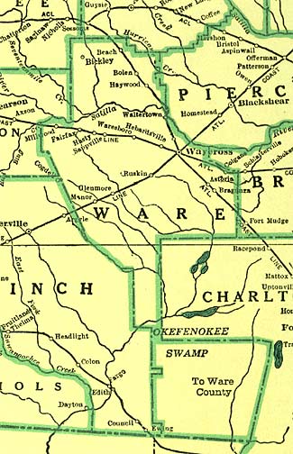
Map from 1915
Map from 1952
Map from 1955
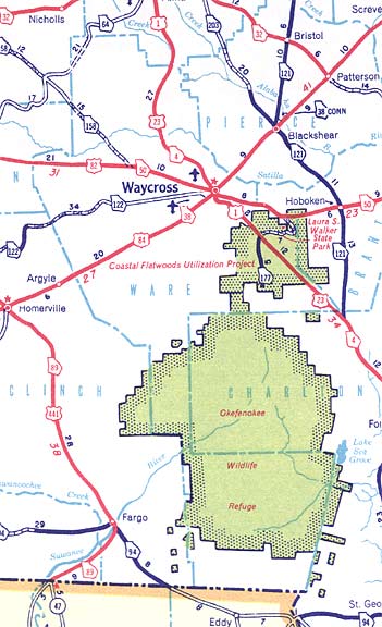
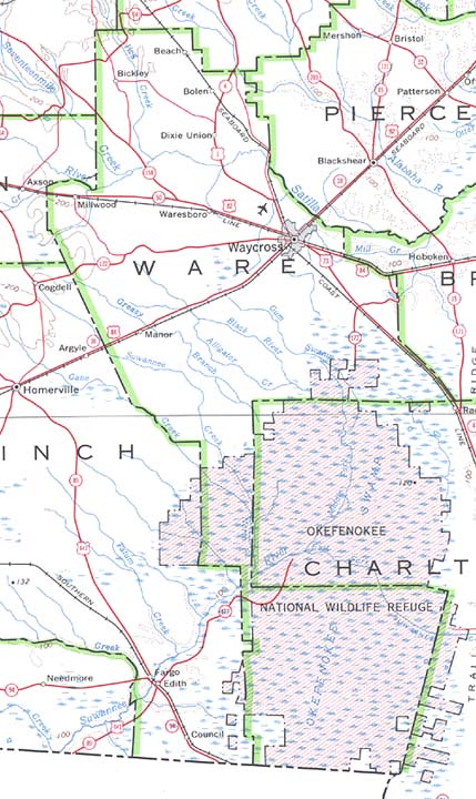
Map from 1970
Map from 1970
Land Ceded To:
Clinch County (1850)
Coffee County (1854)
Pierce County (1857)
Bacon County (1914)
Map from 1830
Map from 1839
Map from 1863
Map from 1874
Map from 1883
Map from 1885
Map from 1895
Map from 1904
Map from 1910
Map from 1915
Map from 1952
Map from 1955
Map from 1970
Map from 1970
Back to Georgia Maps
Visit the GAGenWeb Ware County Page
All maps from http://www.cviog.uga.edu/Projects/gainfo/histcountymaps/warehistmaps.htm
All maps are © Carl Vinson Institute of Government, The University of Georgia
Format © 2002 Richard R. Pettys, Jr.
Visit the GAGenWeb Ware County Page
All maps from http://www.cviog.uga.edu/Projects/gainfo/histcountymaps/warehistmaps.htm
All maps are © Carl Vinson Institute of Government, The University of Georgia
Format © 2002 Richard R. Pettys, Jr.