The USGenWeb Archives Digital Map Library
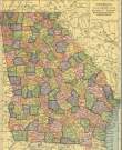
Georgia County Maps
The Georgia Digital Map Library is part of The USGenWeb Archives Project
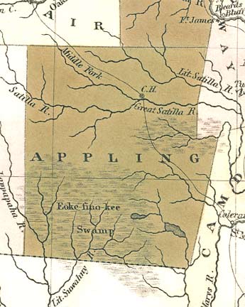
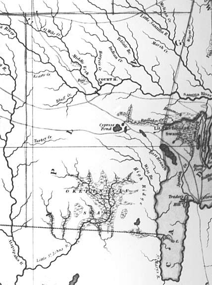
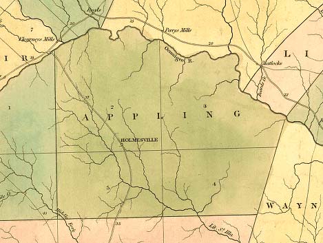
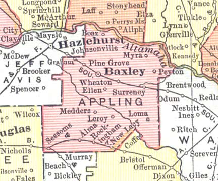
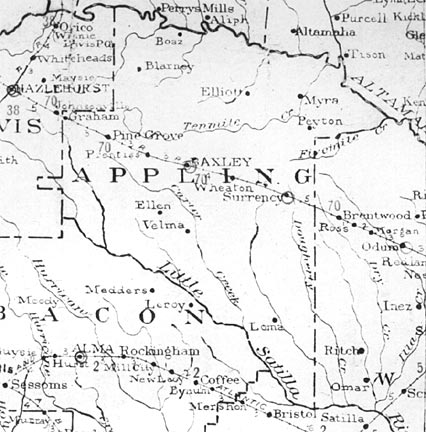
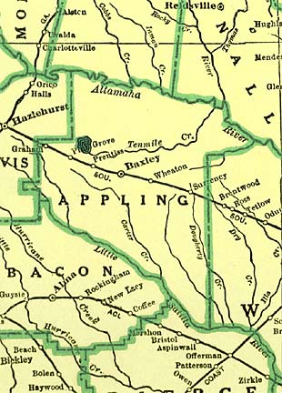
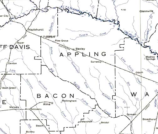
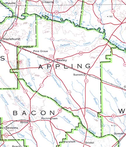
Appling County Maps
Maps from 1818 to present
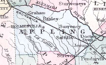
Appling County was created by an Act of the Georgia Legislature
dated December 15, 1818 from Creek Lands.
Counties created from Appling:
Ware County (1824)
Pierce County
(1857)
Jeff Davis County
(1905)
Bacon County (1914)
1822
1823
1830
1839
1863
1874
1883
1885
1895
1904
1910
1915
1952
1955
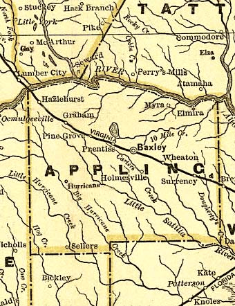
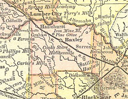
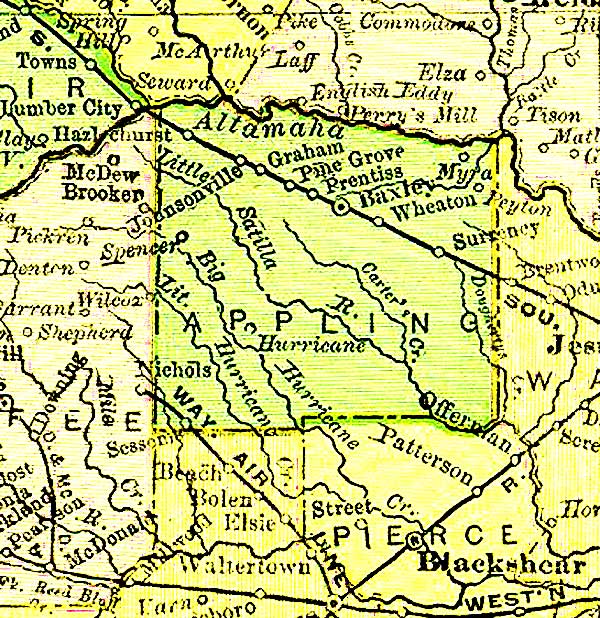
1970: Map 1 -
Map 2
Back to Georgia Maps
All maps from
http://www.cviog.uga.edu/Projects/gainfo/histcountymaps/camdenhistmaps.htm
All maps are © Carl Vinson Institute of Government, The University of Georgia
 |
Other Georgia Links |
 |
This page was last updated
Sunday, 24-May-2009 06:44:45 EDT
You are the  since
Thursday, May 30, 2002 since
Thursday, May 30, 2002
Copyright © 2004-2006 by The USGenWeb Archives Digital Map Library; 2002, Mary Ann Hetrick |

