The state of Georgia is currently without a State Map Coordinator. If you would like to be part of the Digital Map Library team and/or make contributions of maps, please e-mail me, Rebecca Maloney. Your contributions are both needed and appreciated! |
 |
 |
| |
|
The USGenWeb Archives Digital Map Library
Georgia State Maps

State Map Coordinator
The Georgia Digital Map Library is part of The USGenWeb Archives Project
Georgia State Maps
Pre-Colonial Maps
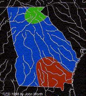
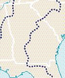
The Indigenous People of Georgia
The Muskogee community territories are marked in blue, the Cherokee community territories are marked in green, and the
Timmucua territories are marked in red.
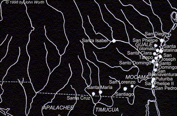
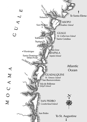
Spanish Missions in Georgia, 1526-1686;
Map 2;
Map 3; Spanish Conquests
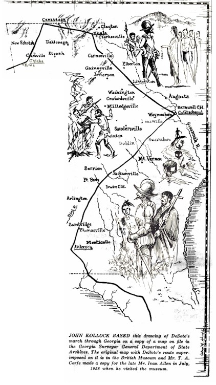
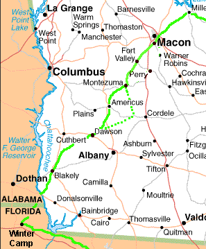
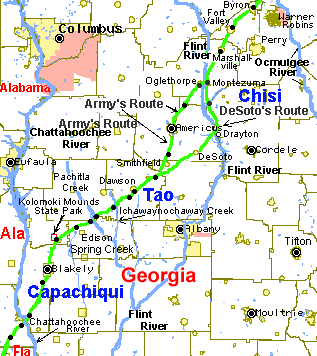
Maps of DeSoto's Travels: Map 1,
Map 2, Map 3,
Map 4, Map 5,
Map 6
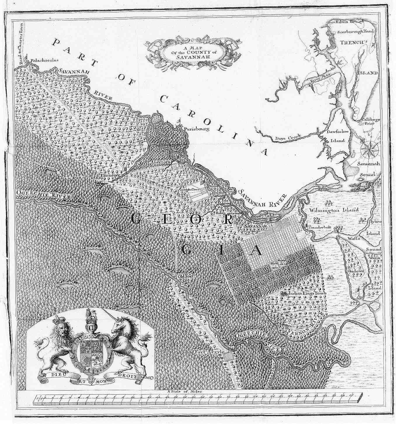
Colonial Georgia: 1733;
1733-1776
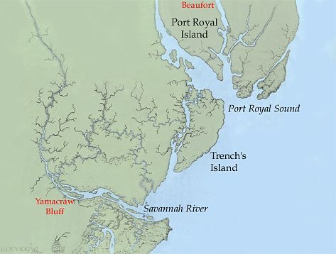
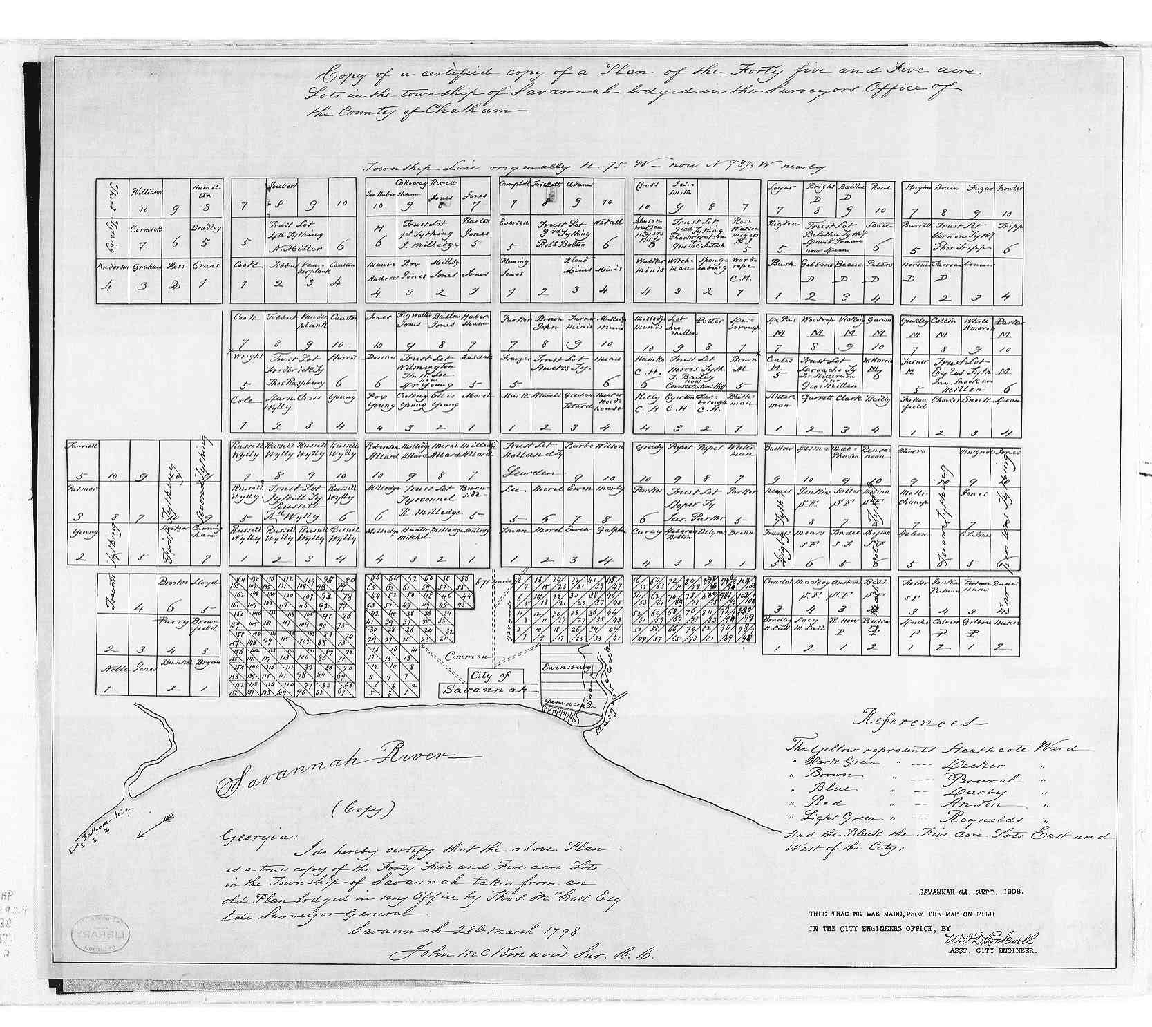
Savannah River Entrance, circa 1733;
Savannah, circa 1735
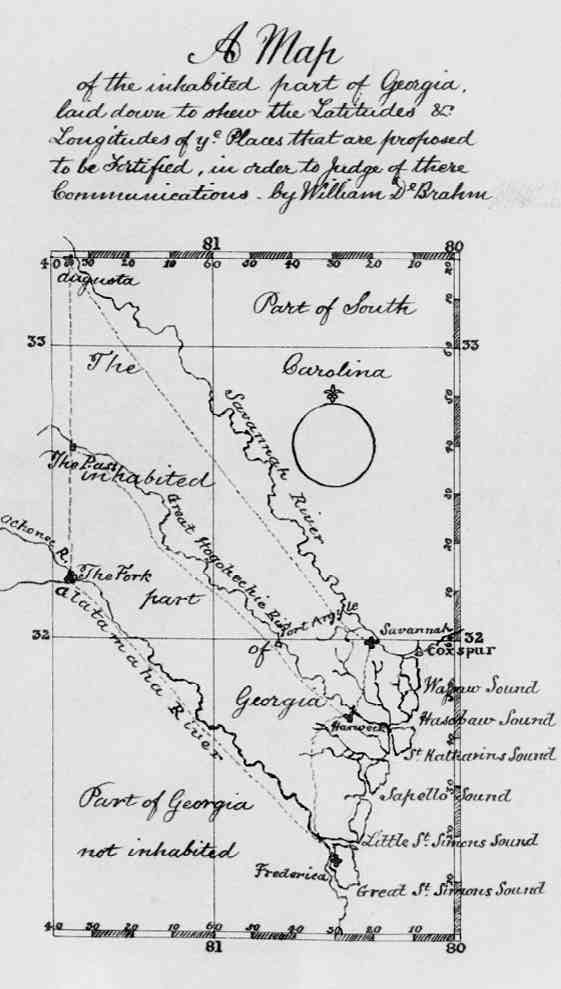
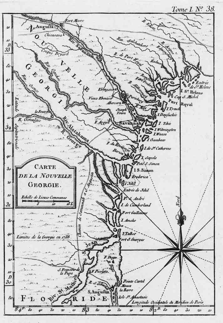
Georgia, circa 1740
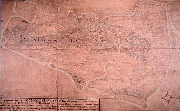
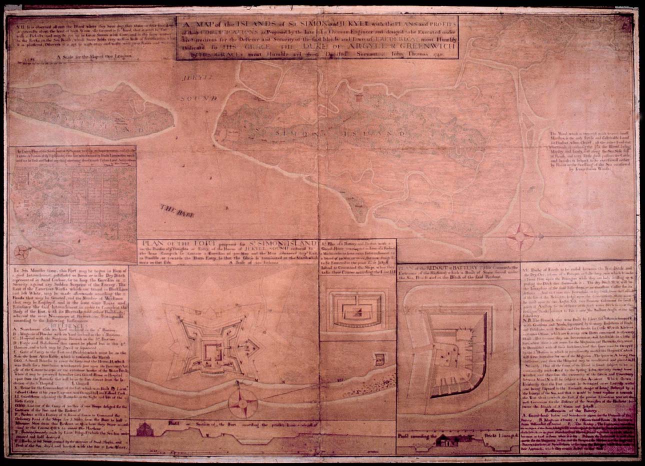
St. Simons Island, circa 1740
(larger map);
St. Simons Island, circa 1741
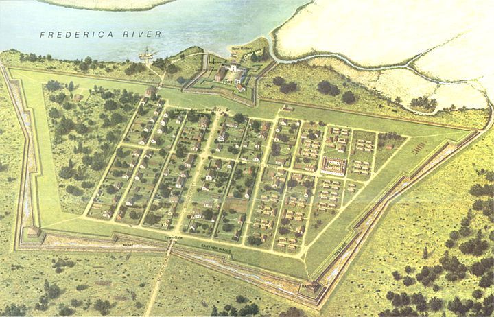
Town of Frederica, circa 1742
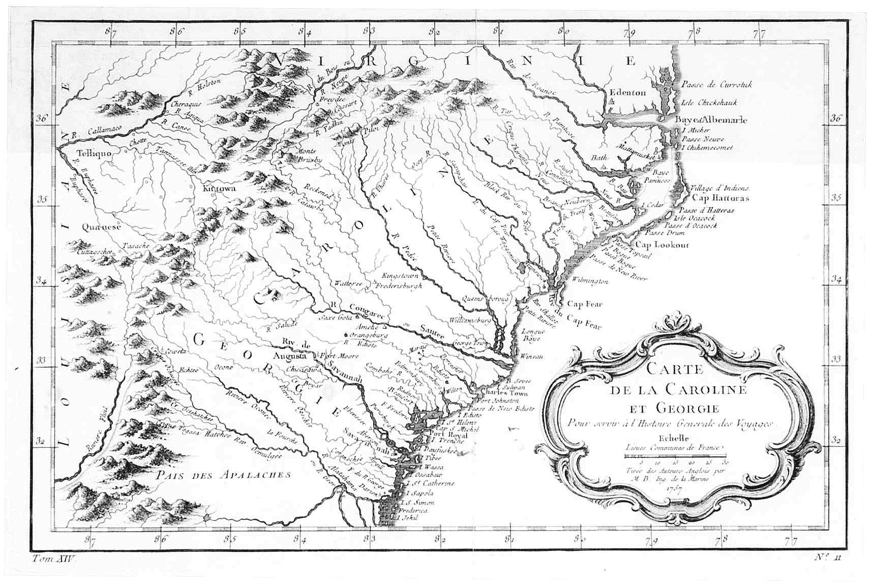
Georgia and the Carolinas, circa 1747
Georgia, circa 1748
Inhabited Georgia, circa 1756
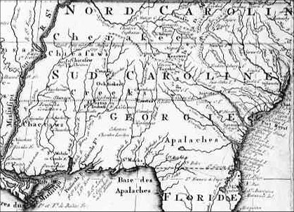
Georgia and Florida: circa 1757,
circa 1763
Georgia: circa 1764,
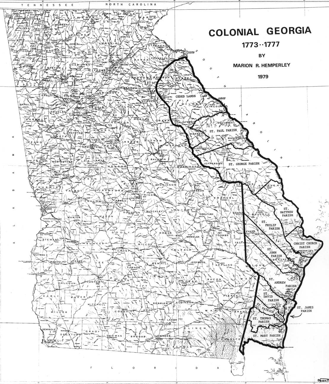
circa 1773-1777
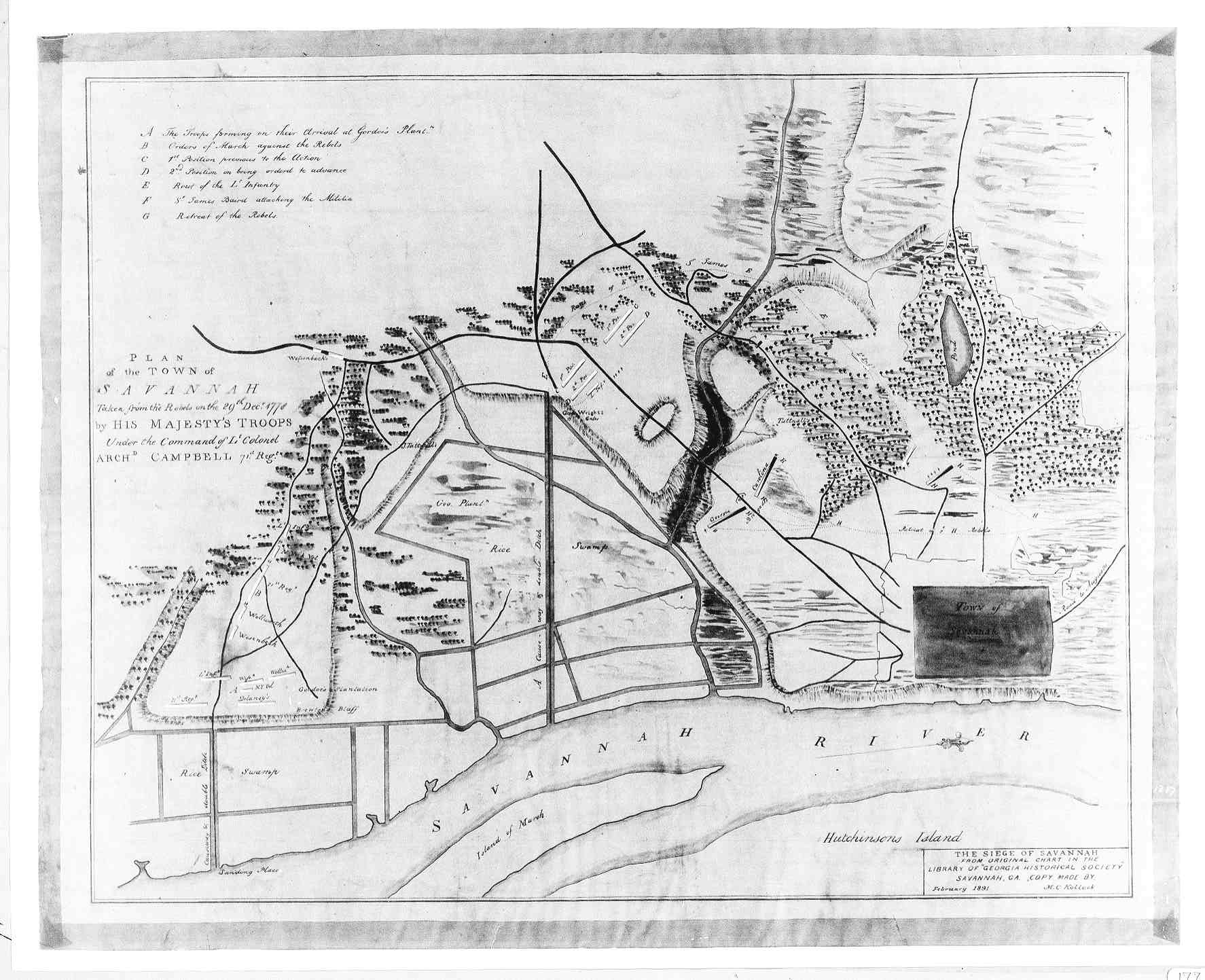
Savannah, Georgia: circa 1777,
circa 1778
After the American Revolution
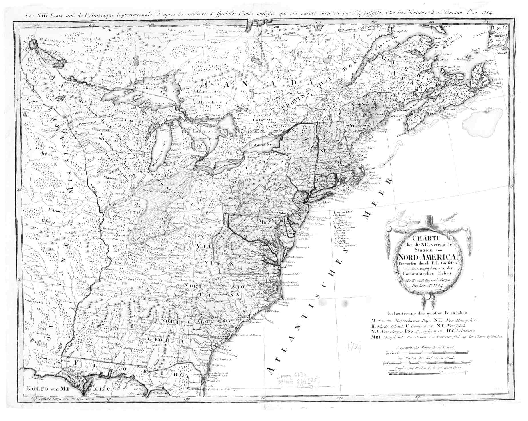
Georgia and the Carolinas - 1784;
Map 2
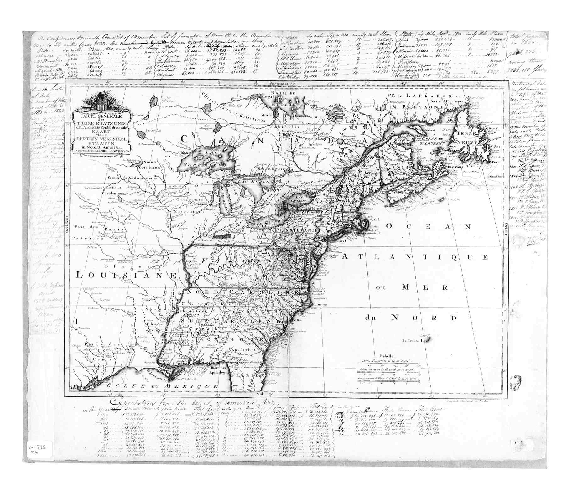
Georgia and the Carolinas - 1785;
Map 2
Southeastern US, circa 1788
Georgia Map "from the lastest authorities", circa 1794
Georgia Map "from the lastest authorities", circa 1796
Georgia, circa 1796
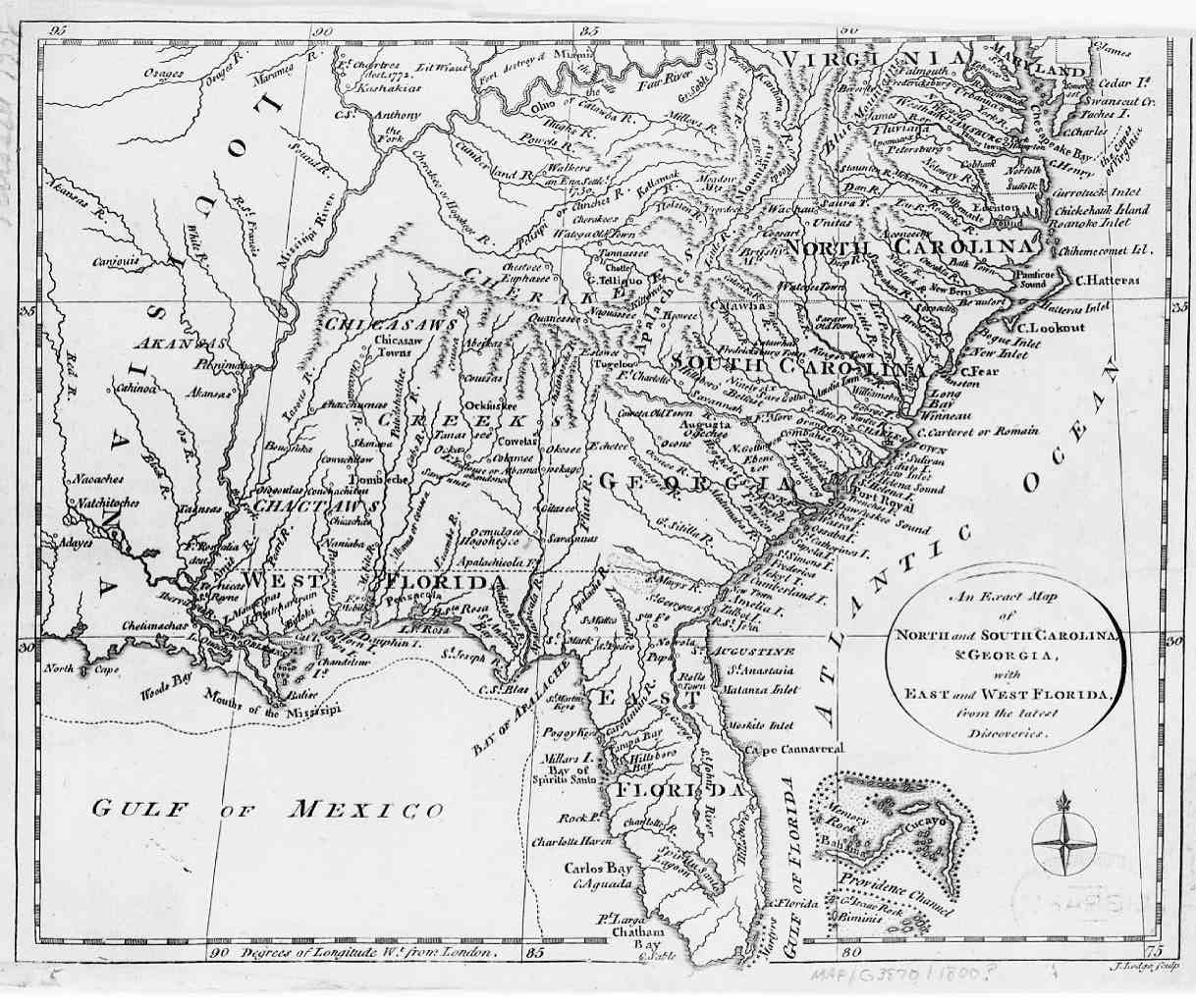
Georgia and the Two Floridas from the latest authorities, circa 1796
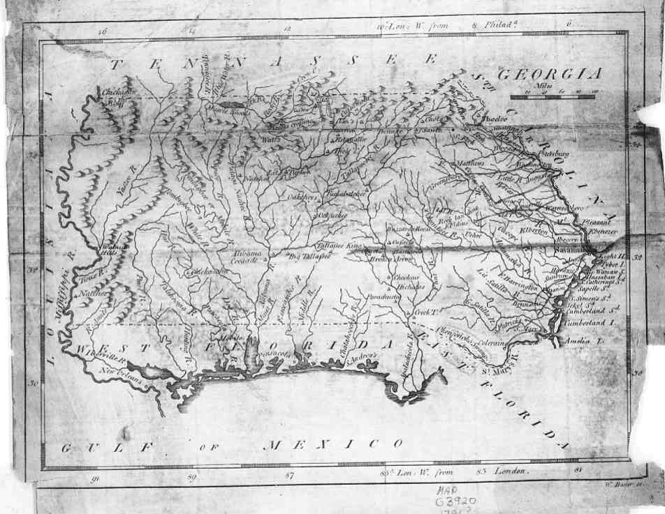
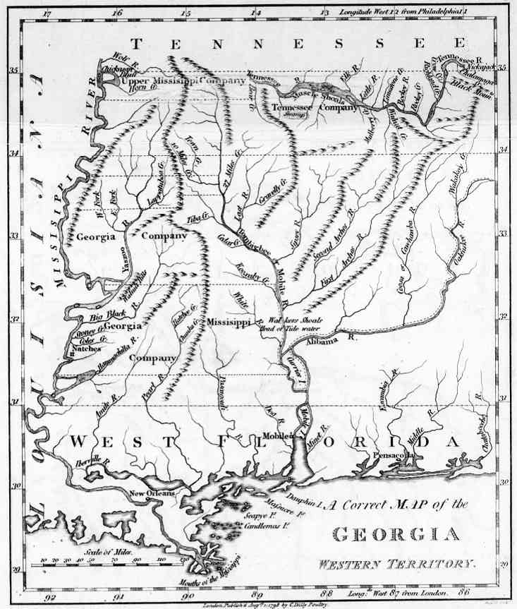
Western Georgia (now Alabama and Mississippi), circa 1798
Southeastern US, circa 1800
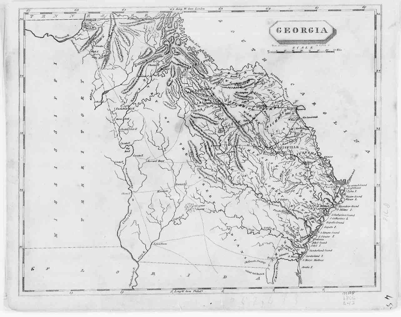
Georgia, 1805
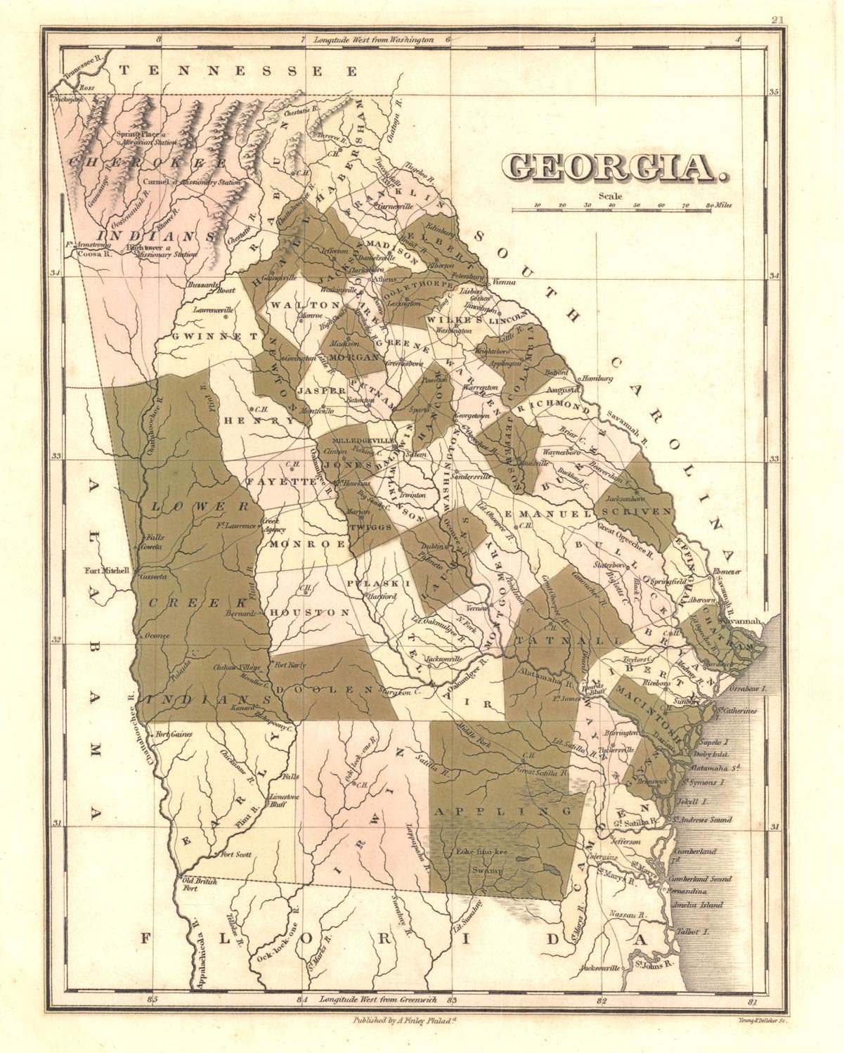
Georgia, 1822
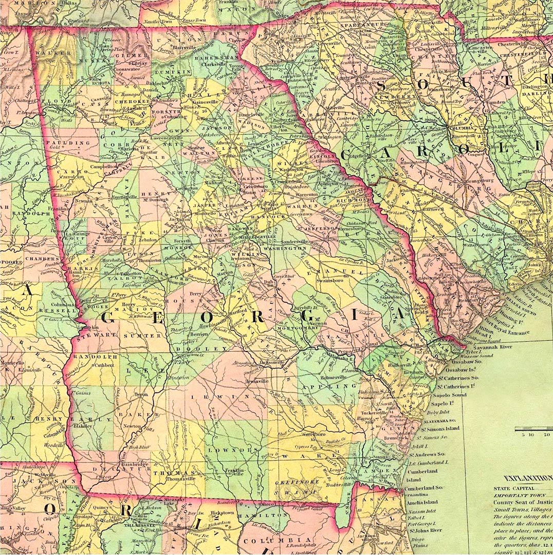
Georgia, 1834
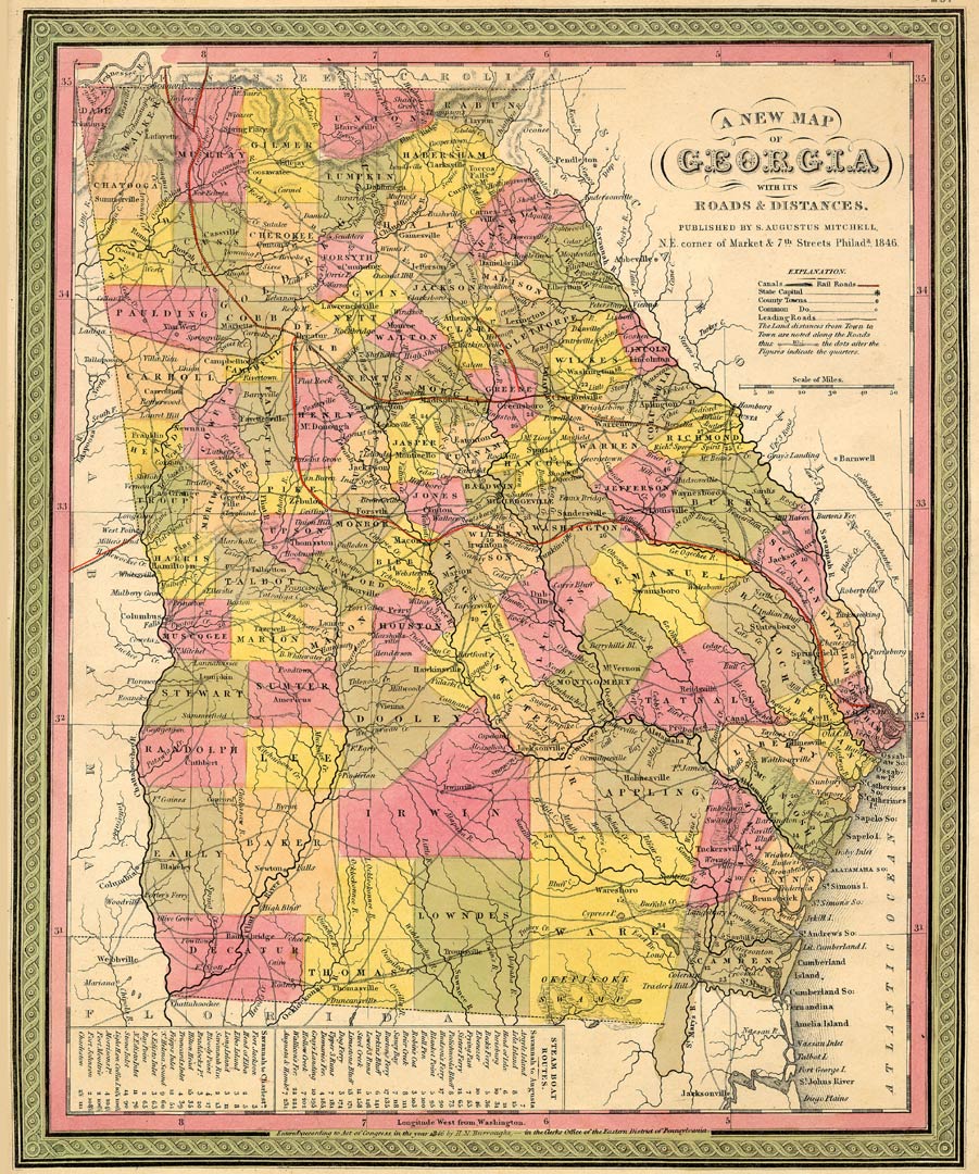
Georgia, circa 1846
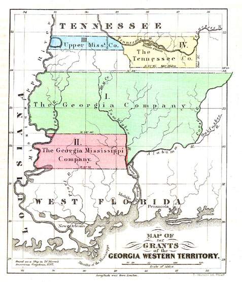
Yazoo Land Grants, 1846
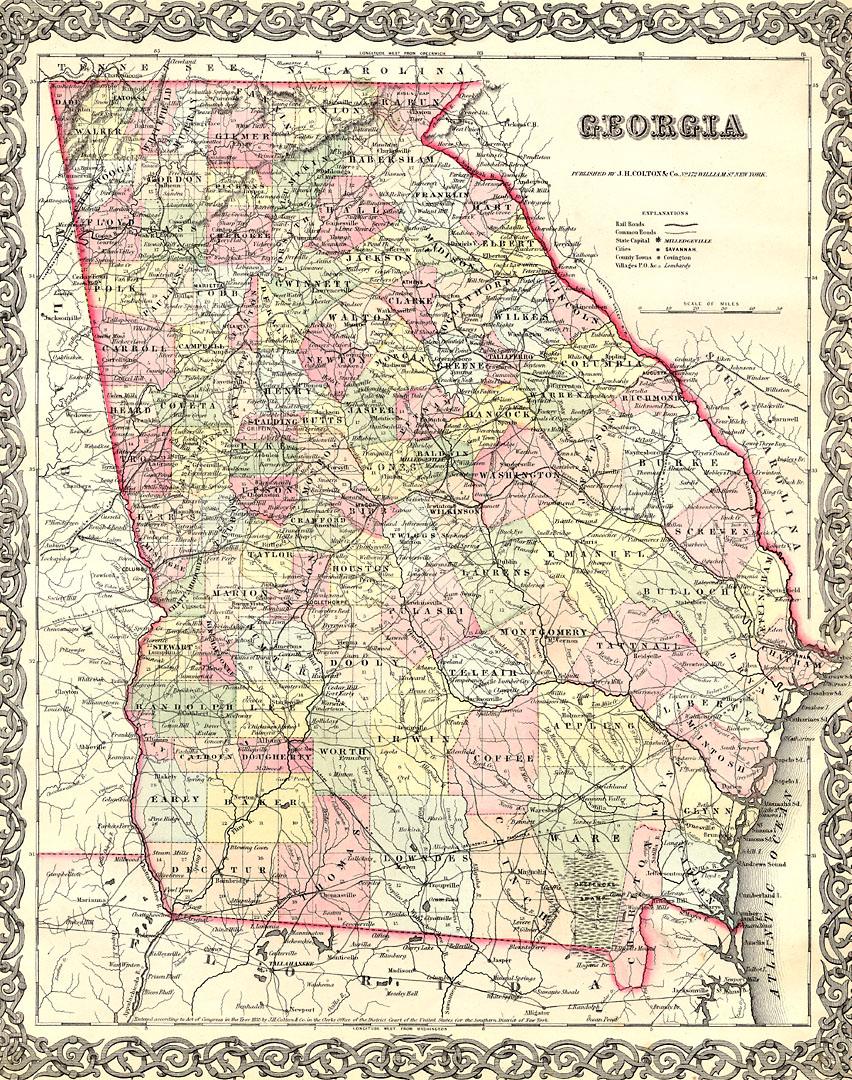
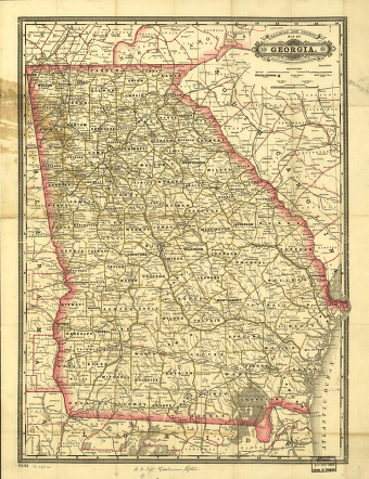
Georgia, circa 1855. Published by J.H. Coulton & Co., New York
Development of Georgia
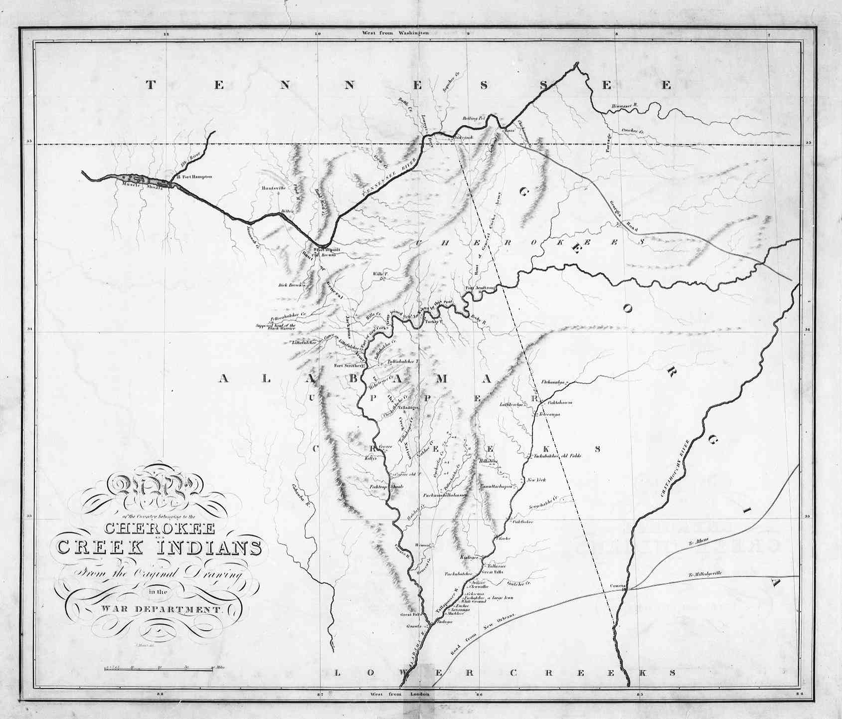
Cherokee and Creek Lands, circa 1815
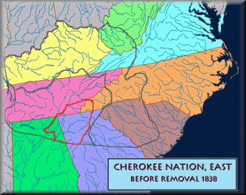
Cherokee Nation before removal
Civil War Maps
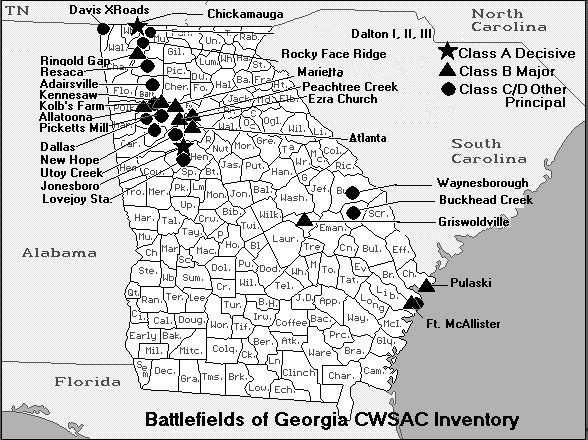
Battlesites in Georgia
Andersonville Prison Camp
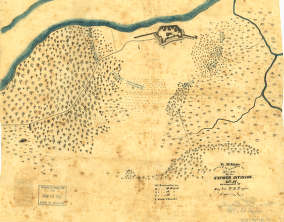
Atlanta Defenses and Batteries Map
Camp McDonald, Kennesaw, Georgia (near Big Shanty)
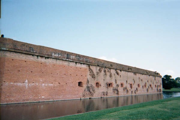
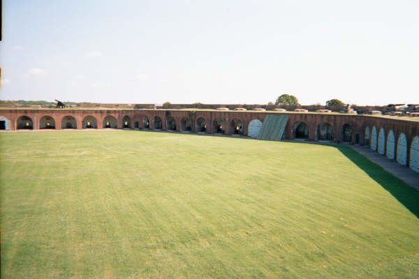
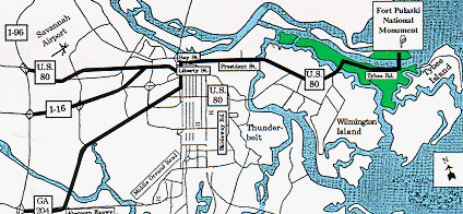
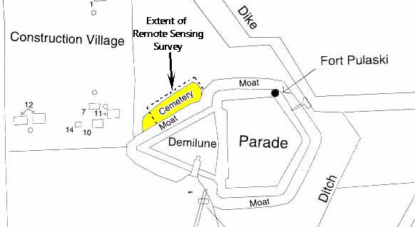
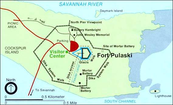
Fort Pulaski: Exterior -
Interior -
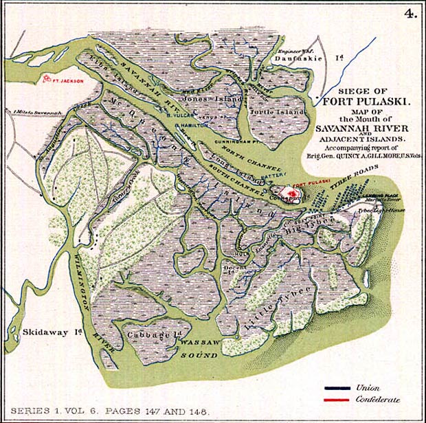
Siege Map - Location -
Road Map -
Construction Plans -
Area Map -
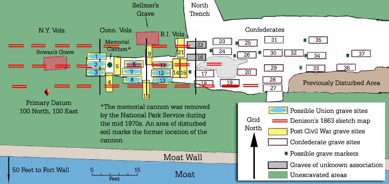
Graveyard -
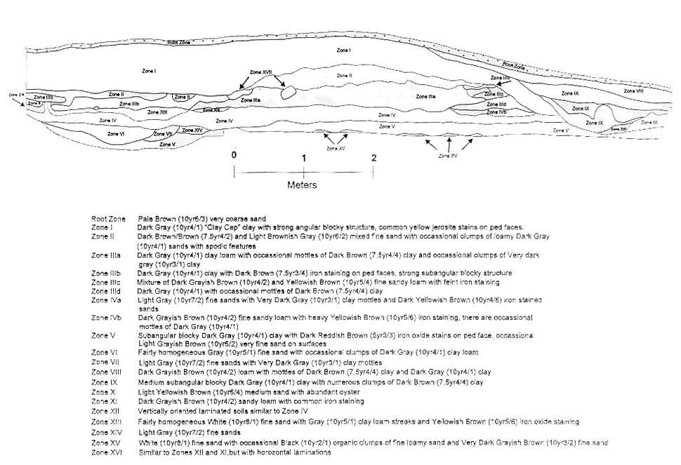
Trench Profile -
Siege Map 2 -
Halleck's Map of Batteries Against Pulaski -
Area Batteries -
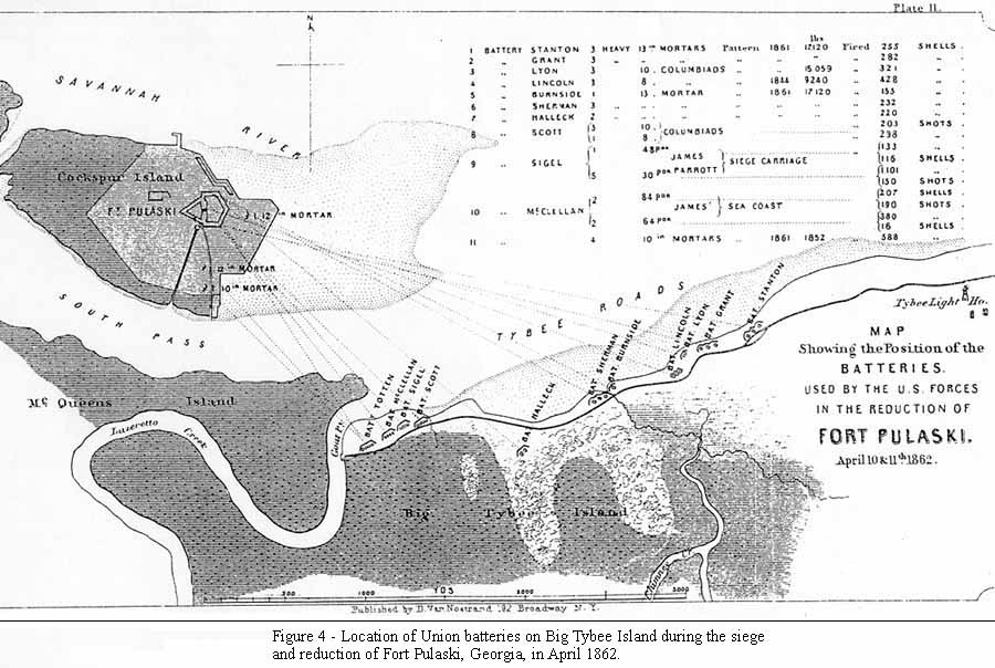
Union Batteries on Tybee Island -
Union Batteries on Tybee Island 2 -
Present Day
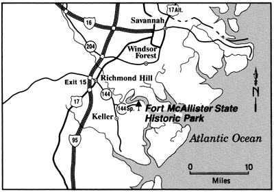
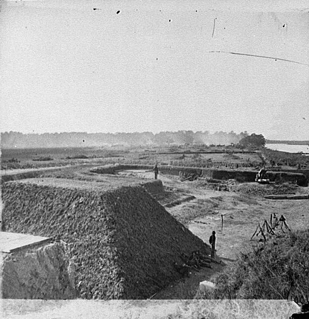
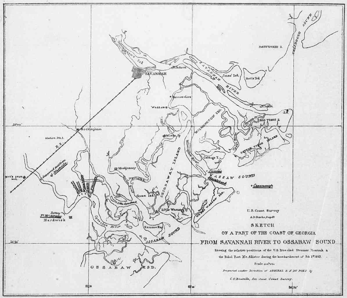
Fort McAllister: 1864 -
Location -
Outside
Forts Tattnall and Lee - 1866
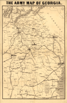
Army Map - 1864
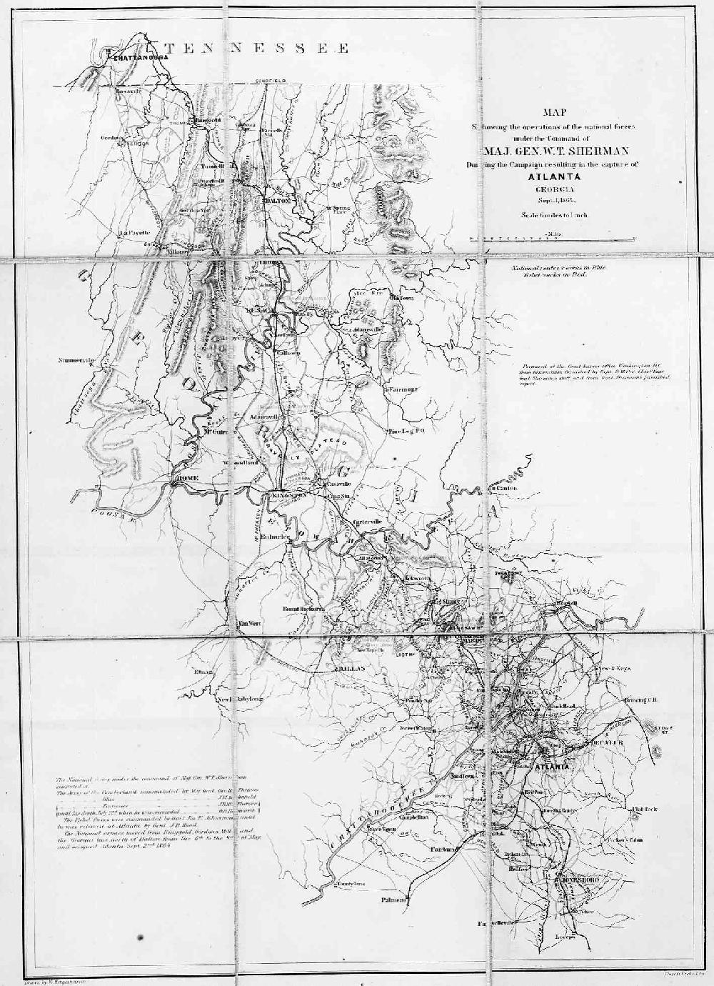
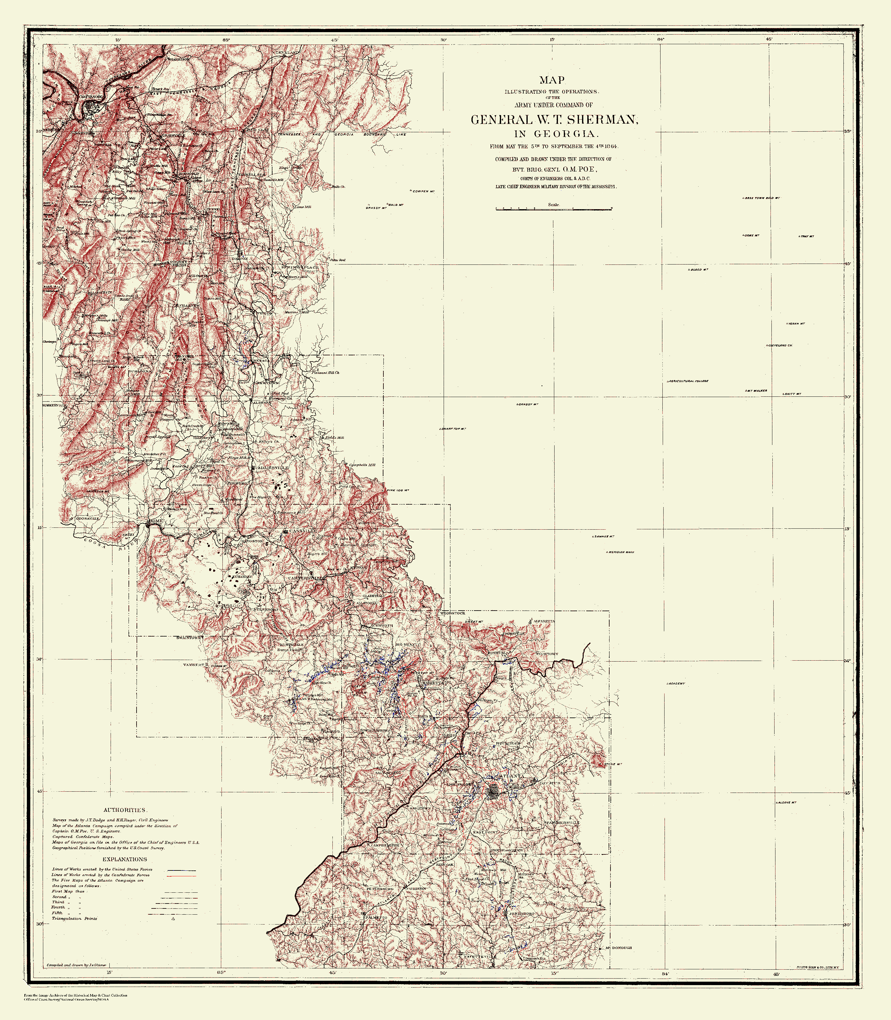
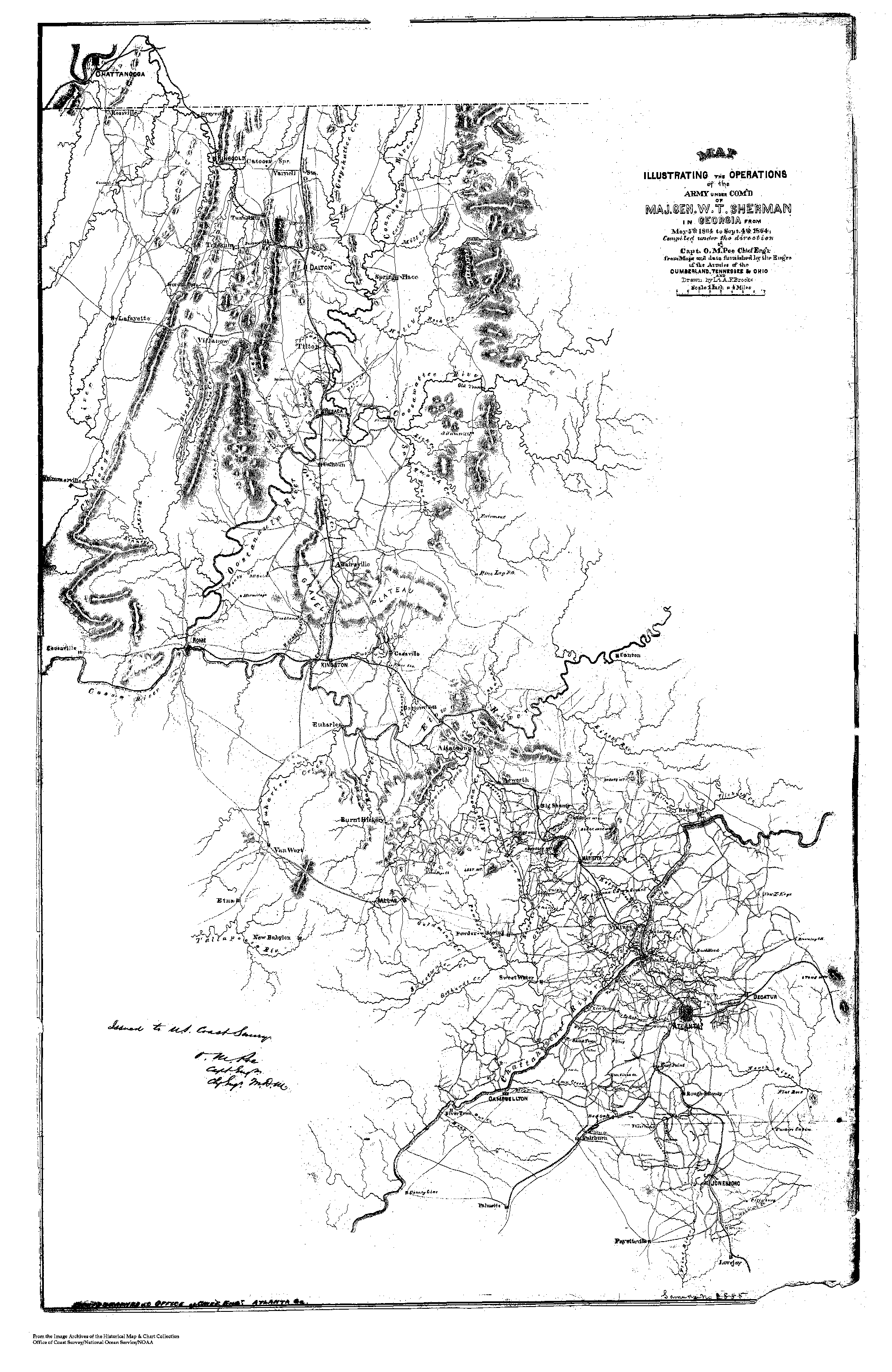
Atlanta Campaign
Coastal Forts - 1864
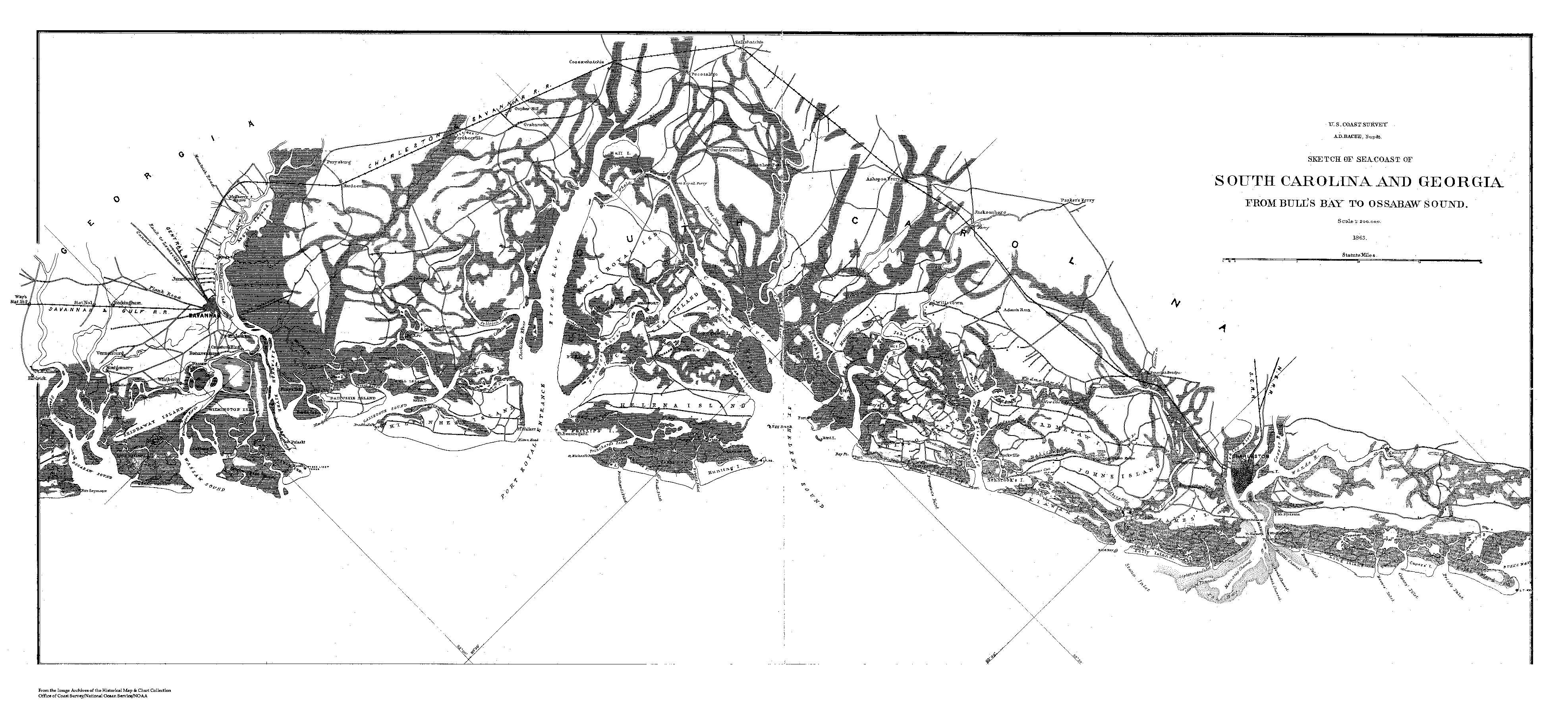
GA - SC Coast - 1863
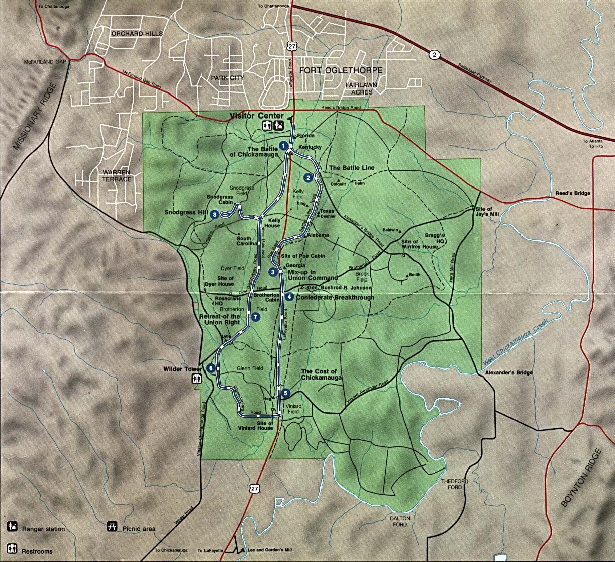
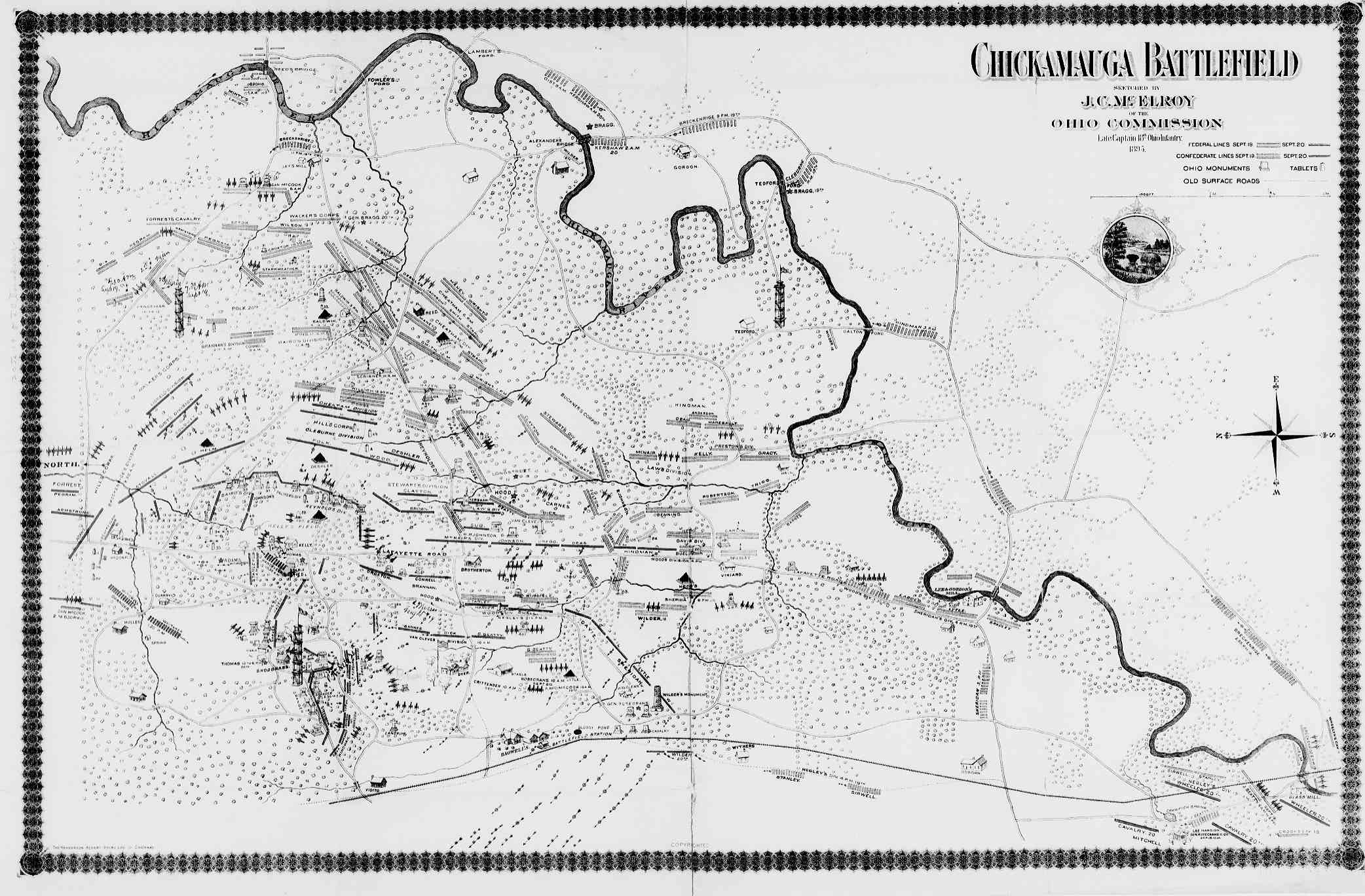
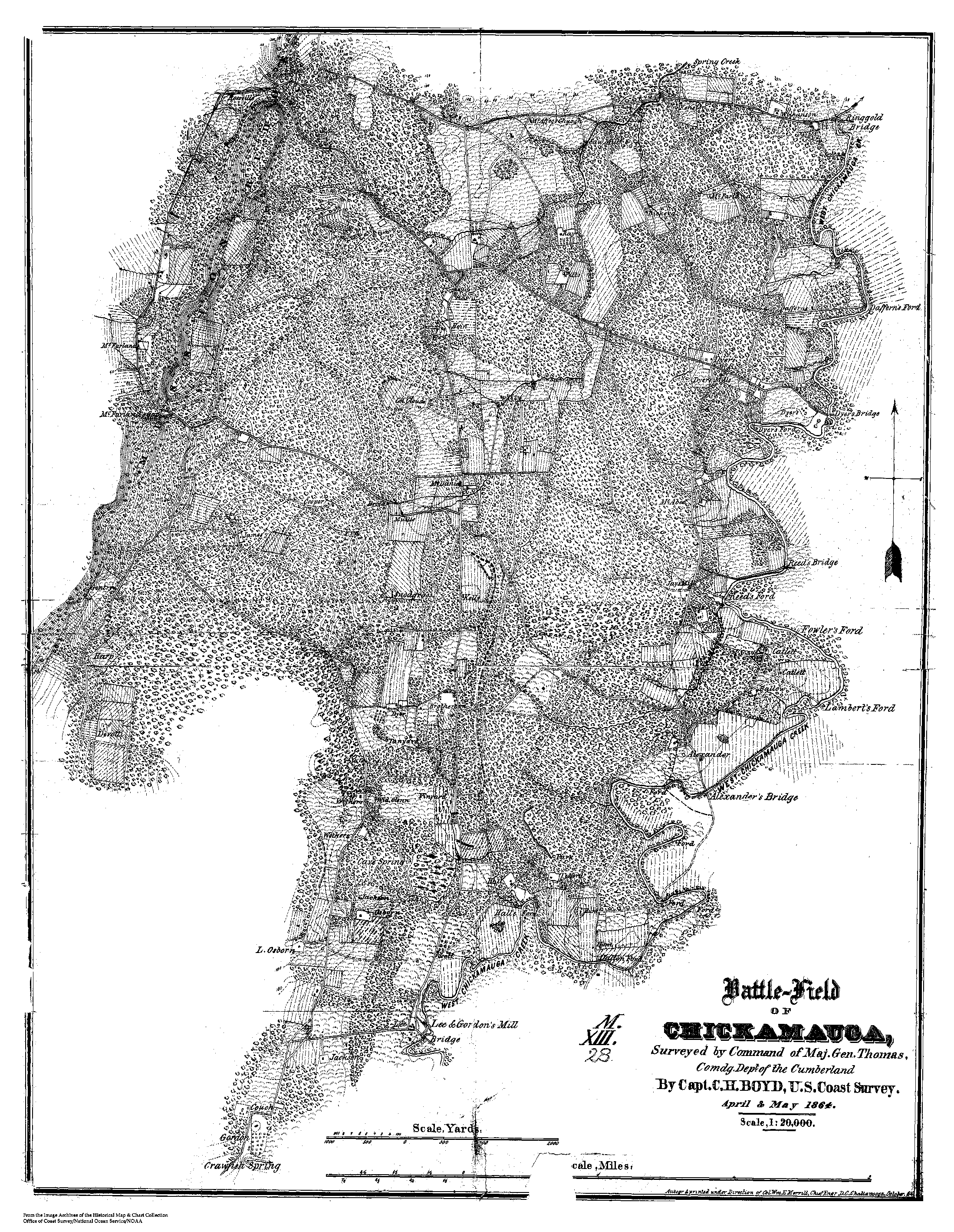
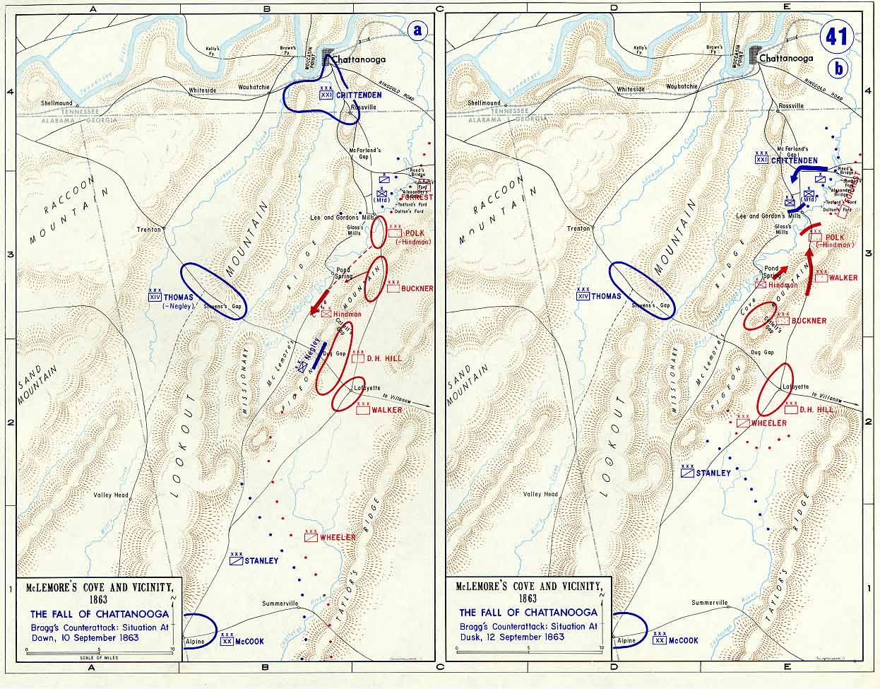
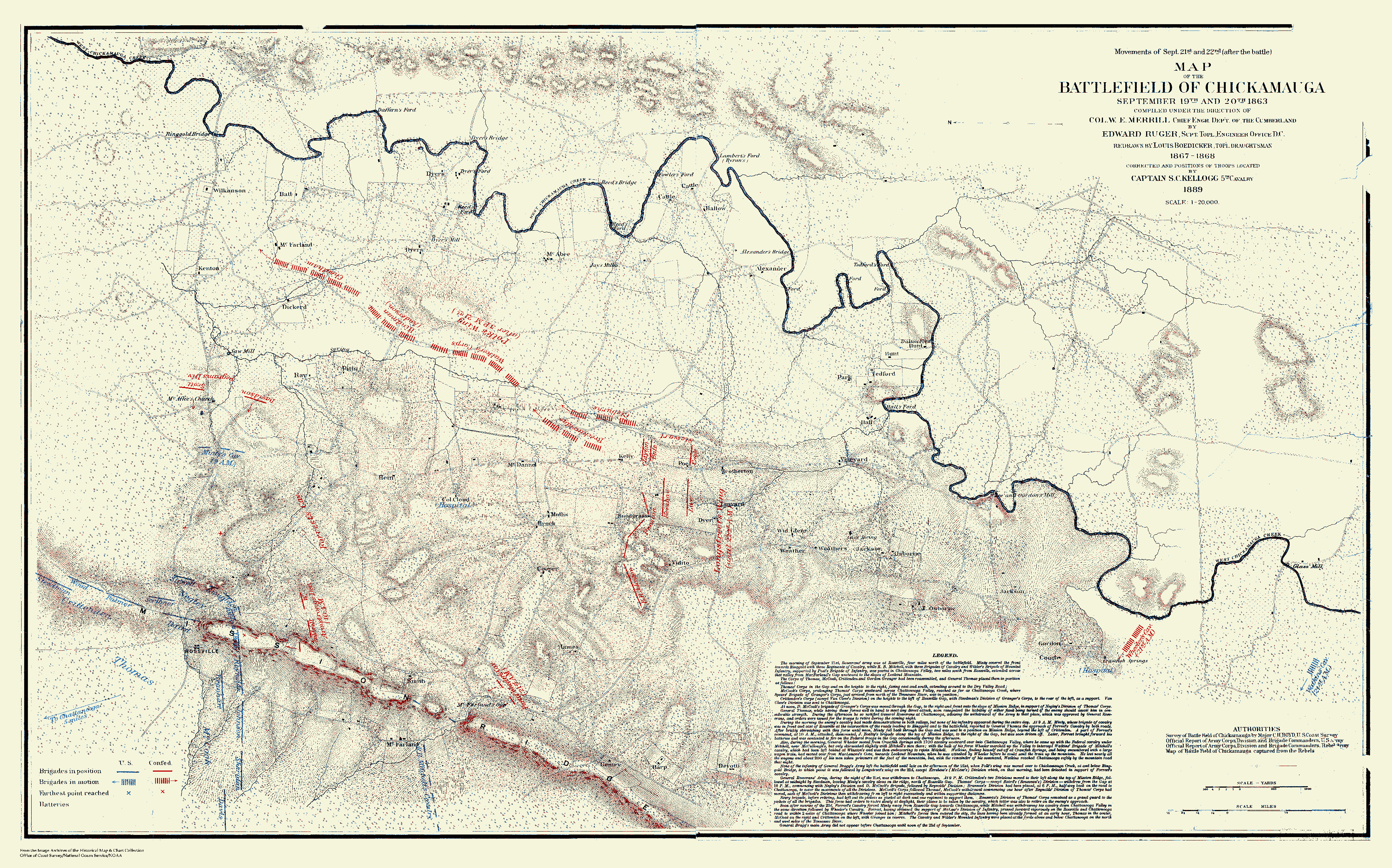
Chickamauga NBP
Chickamauga Park - 1895
Chickamauga Battlefield: 1863 -
1864
Chickamauga 1864: Map 1 -
Map 2
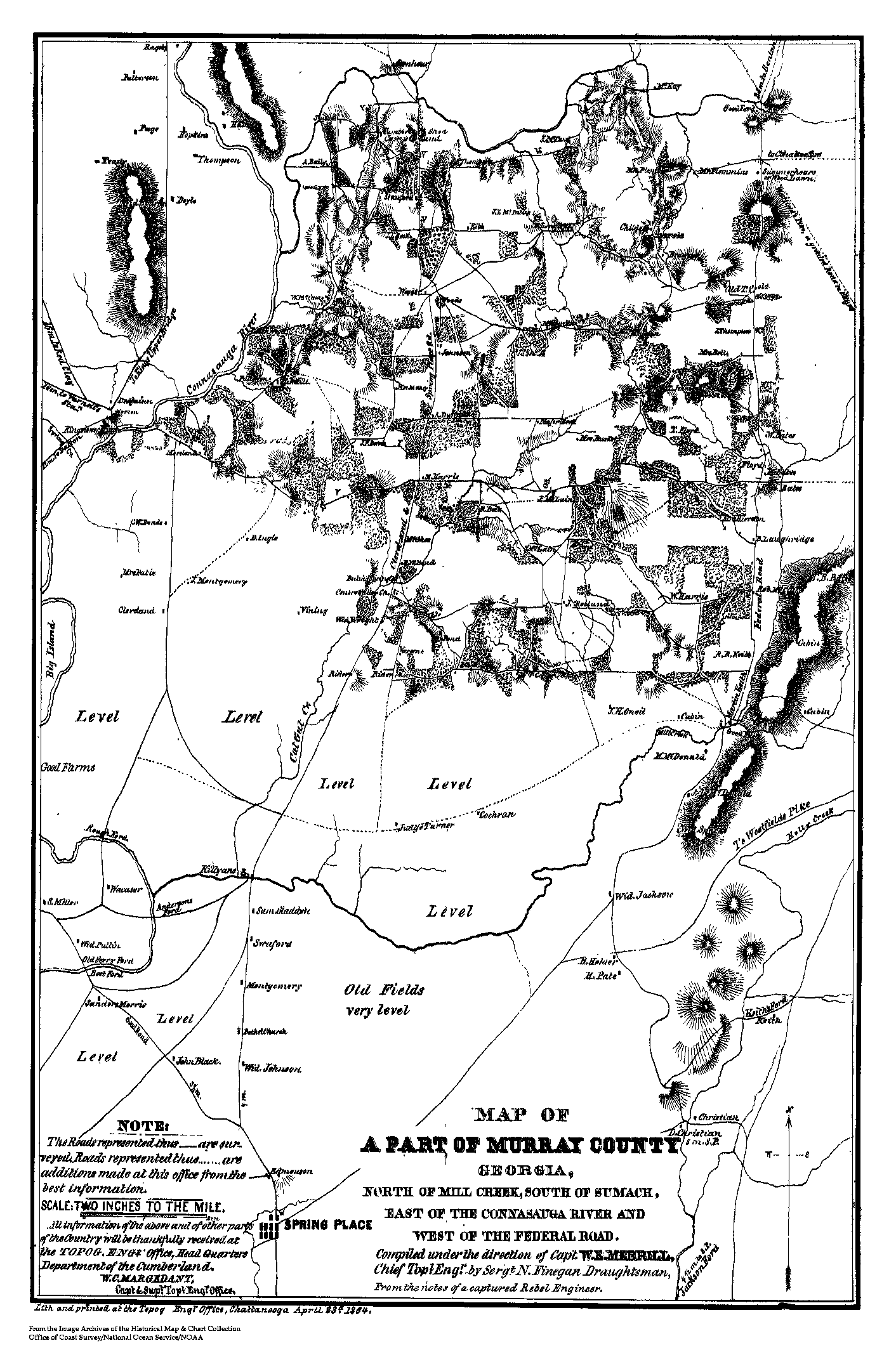
Central Murray County - 1864
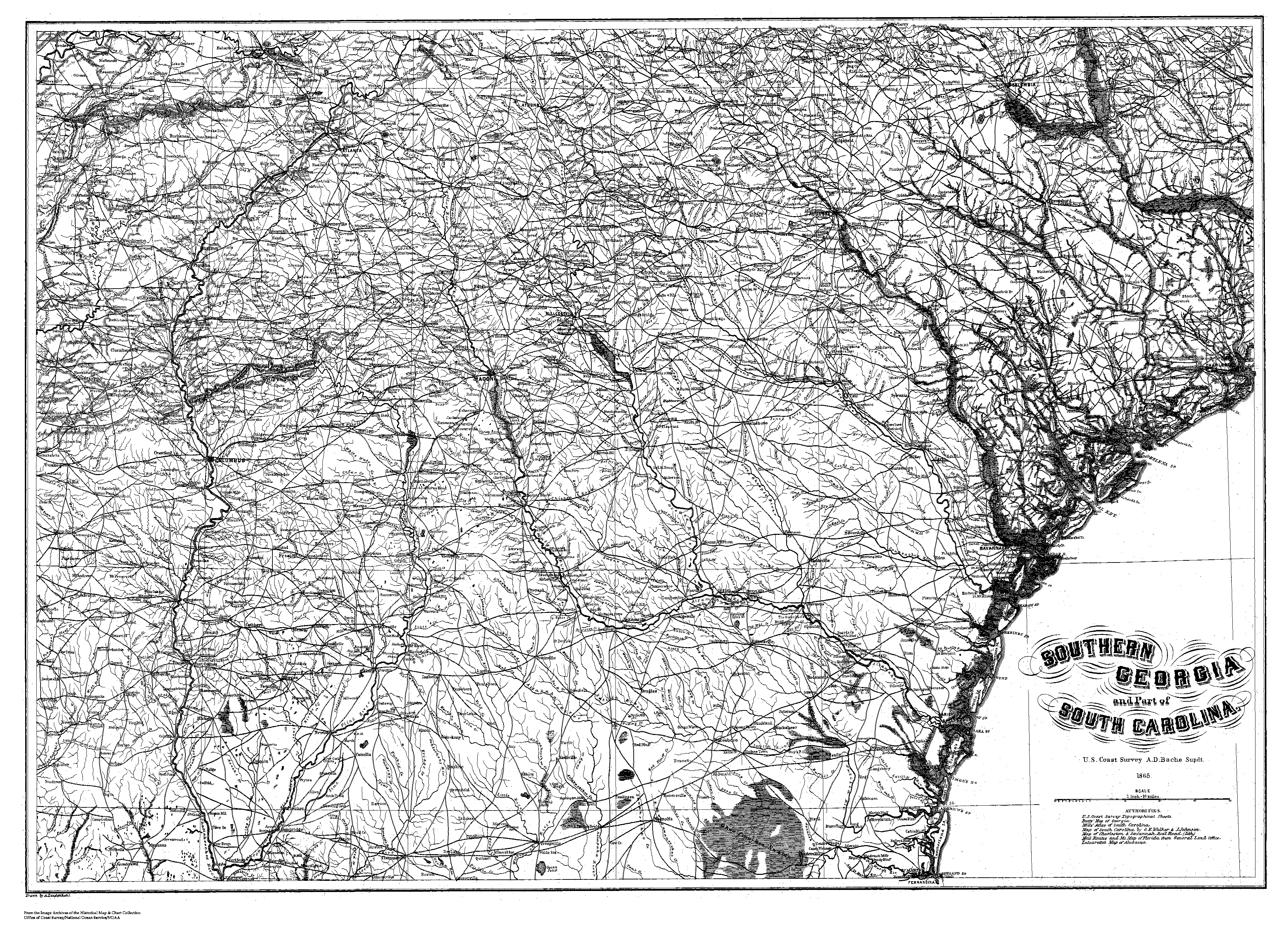
Southern GA & part of SC - 1865
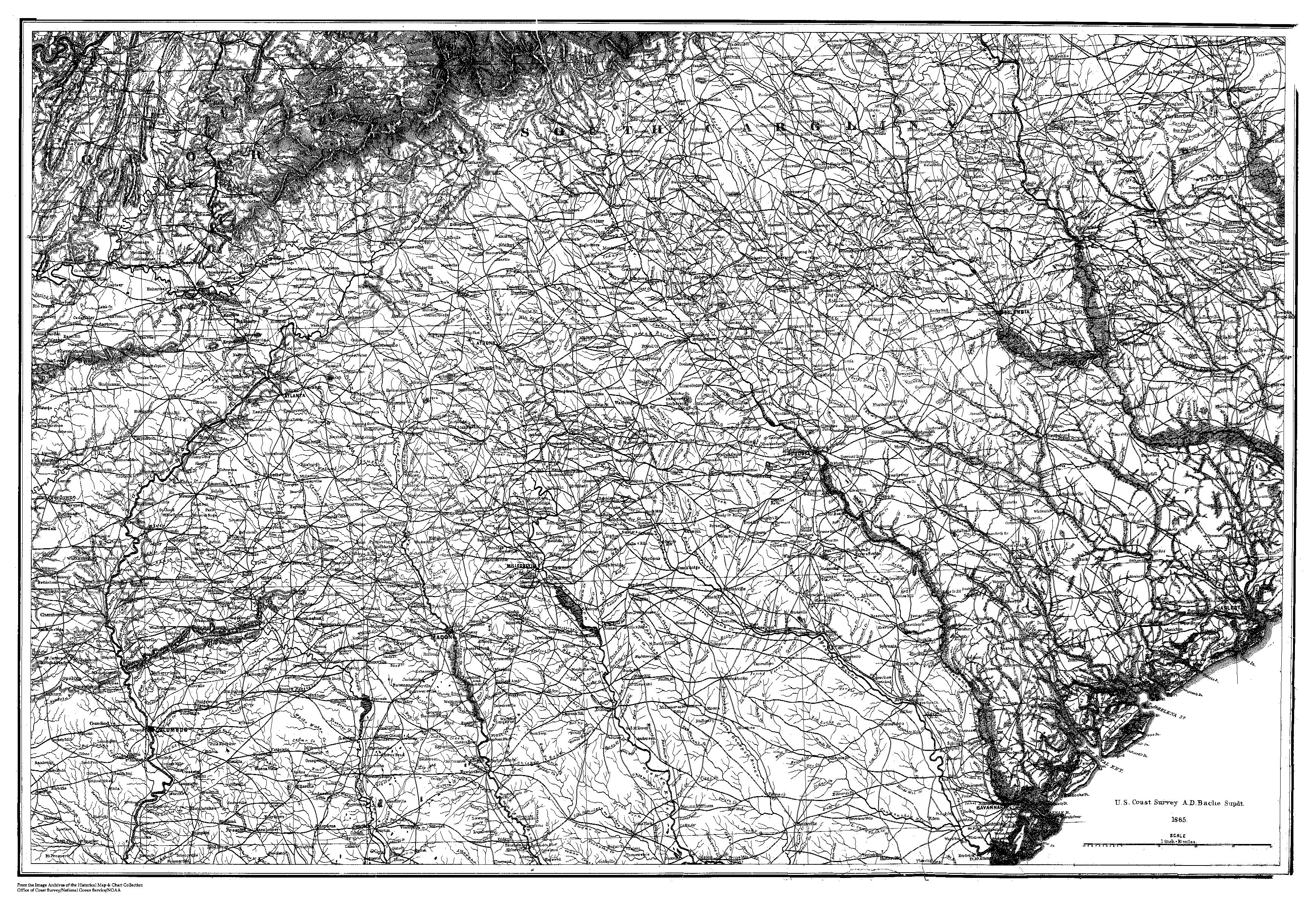
Middle GA & SC - 1865
Northern GA & SC - 1865
Chickamauga
Northern AL & GA
GA Coast - Savannah River to St. Mary's River - 1861
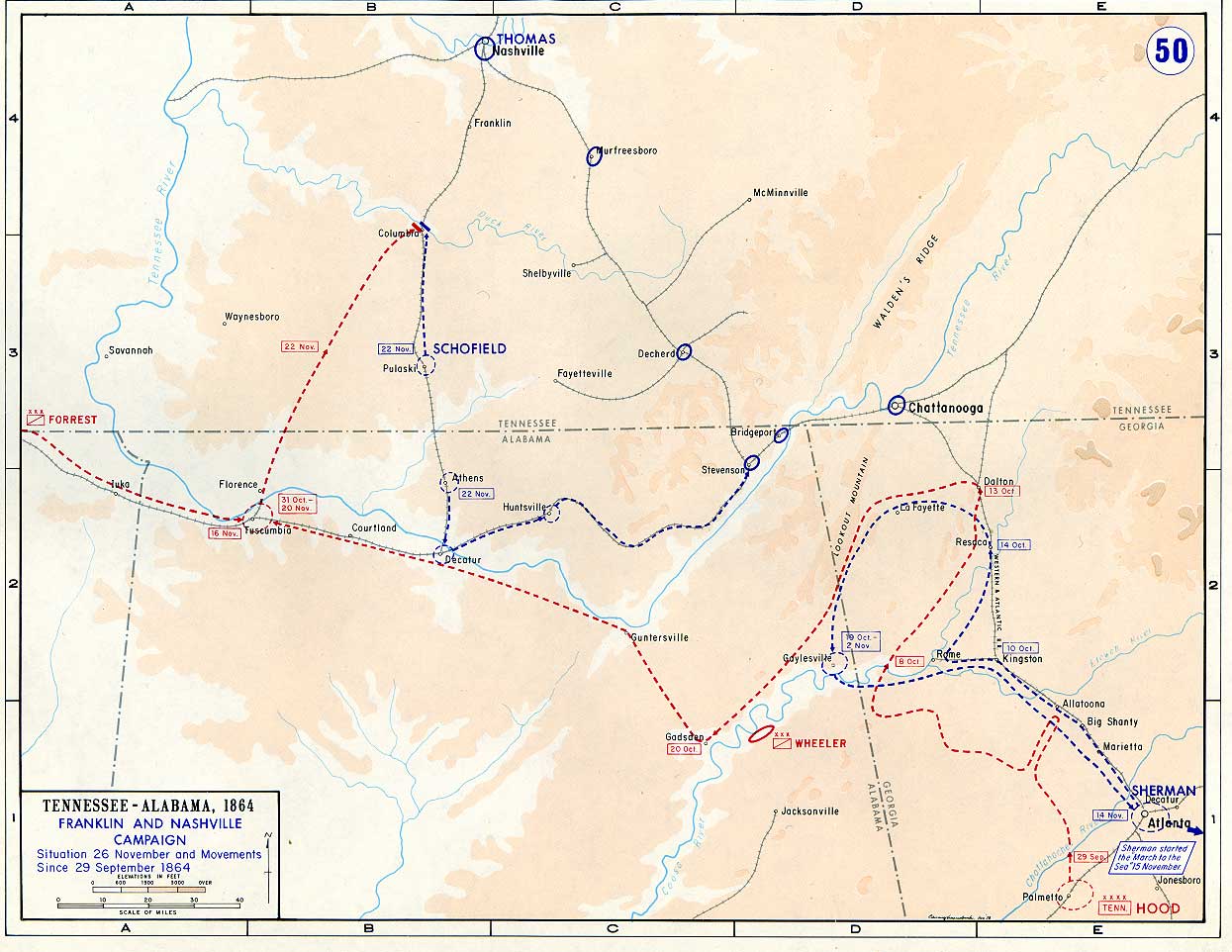
Georgia Alabama Tennessee - 1863-1864
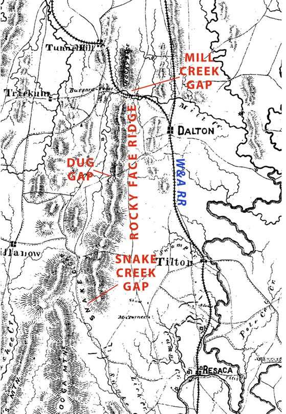
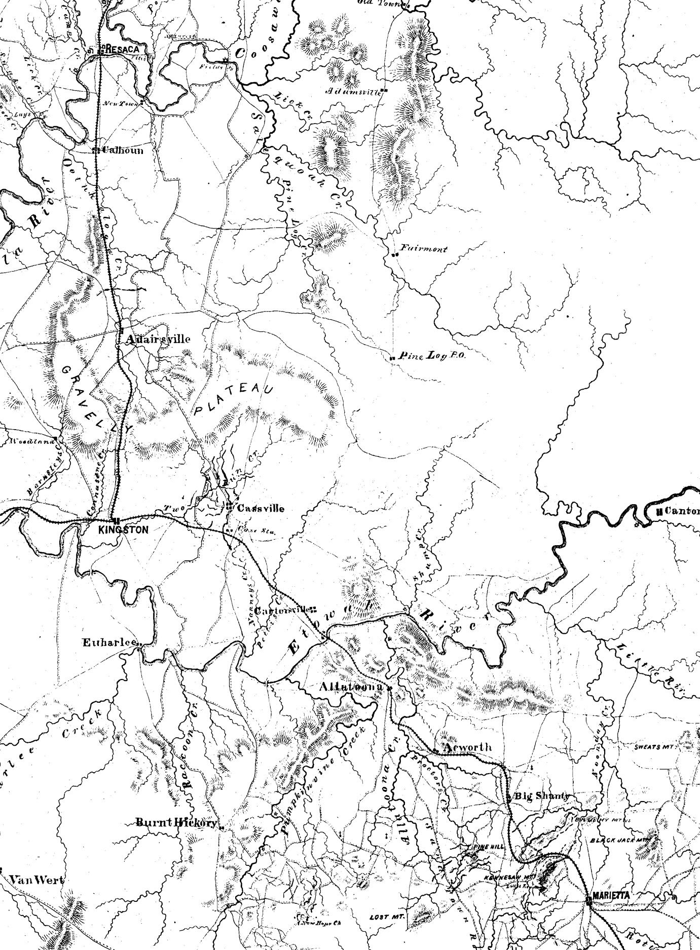
Union Map from Resaca to Dalton
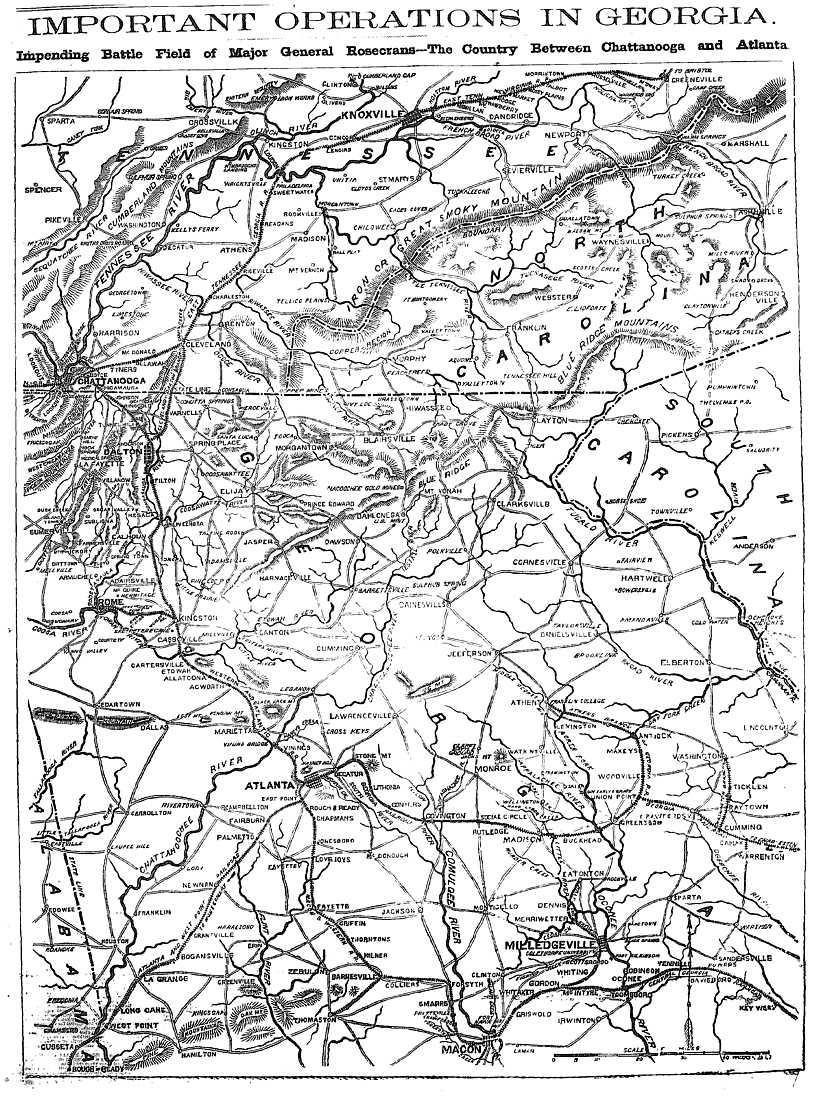
Union Operations in Georgia and Tennessee
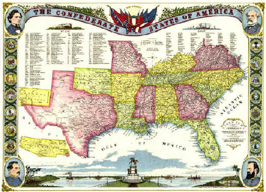
Kirchener's Map of the Confederacy
New York Herald Map of Georgia Operations - 1863
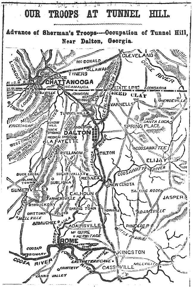
New York Herald Map of Tunnel Hill - 1864
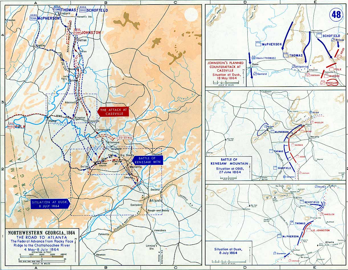
Operations in NW Georgia - 1864
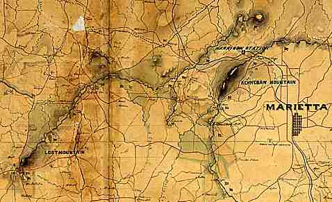
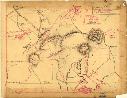
Marietta Operations
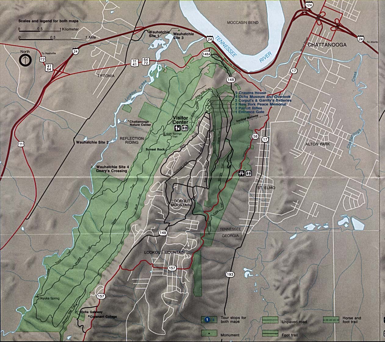
Lookout Mountain
Operations of Federal Troops from Chattanooga to
McDonough
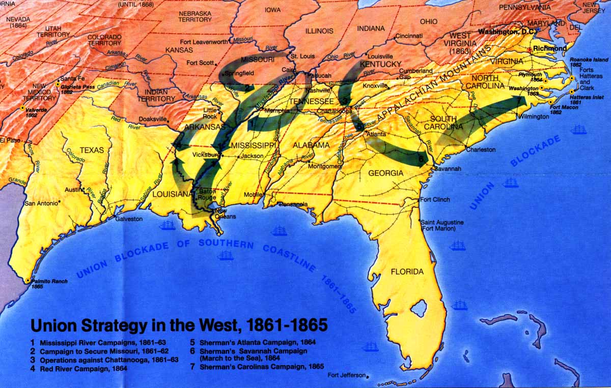
Union Strategy in the West
Major Battles: 1862 -
1863 - 1864 -
1865
Earthworks on St. Simons Island - 1863
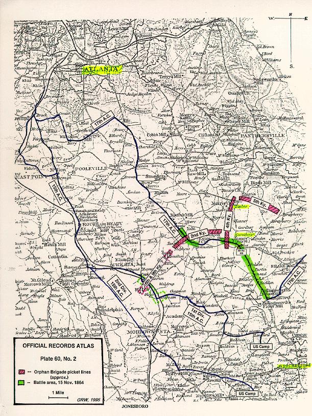
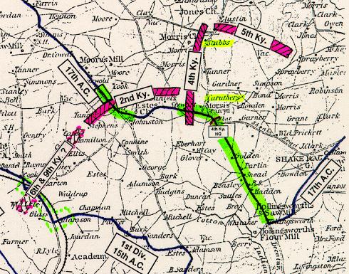
Battle of Stockbridge: Map 1 -
Map 2
St. Mary's River - 1865
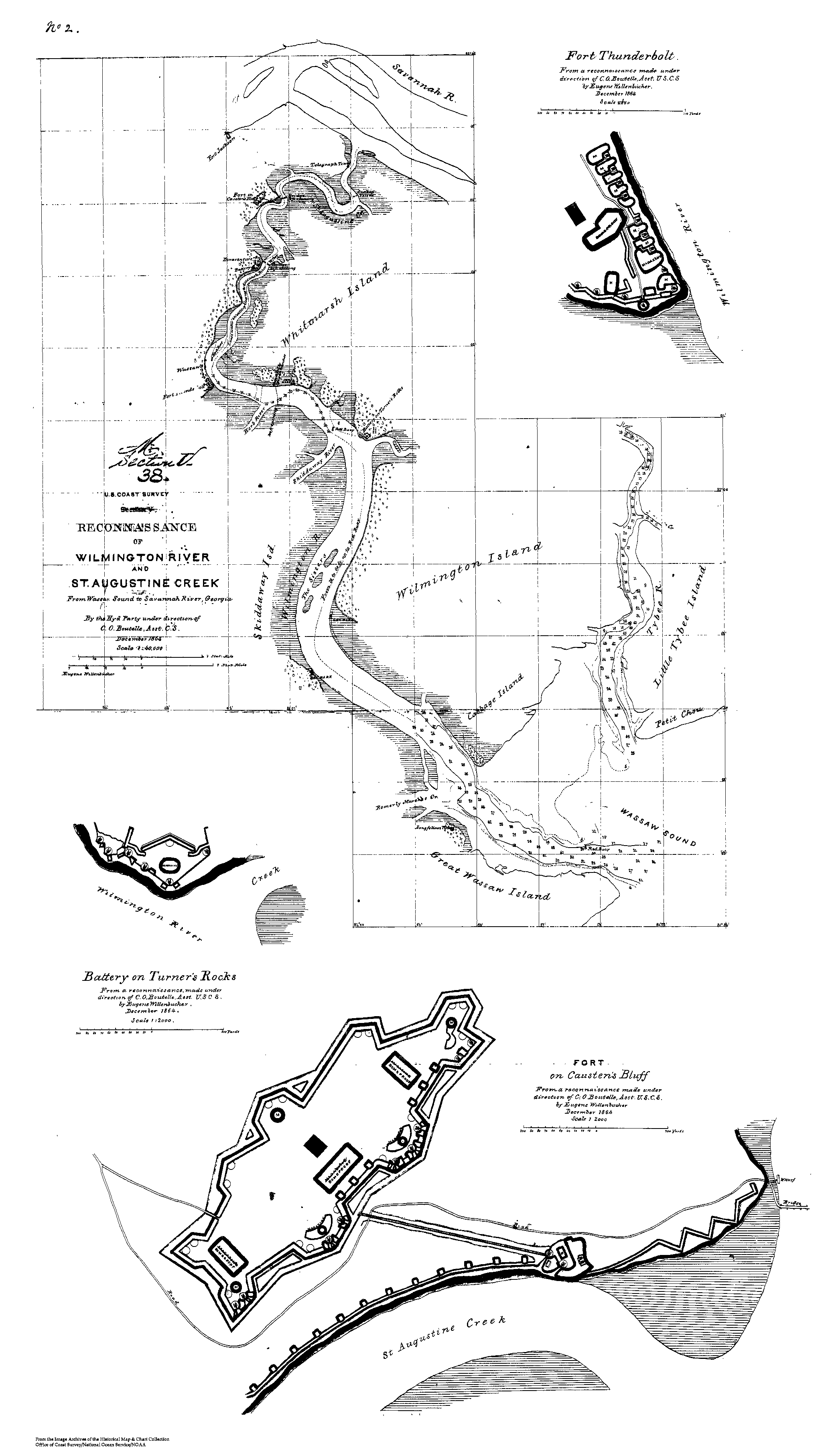
Recon of Savannah - 1864
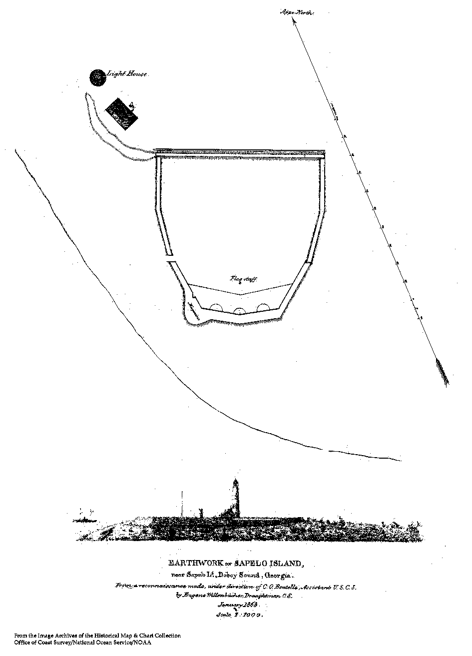
Earthwork Map of Sapelo Island - 1863
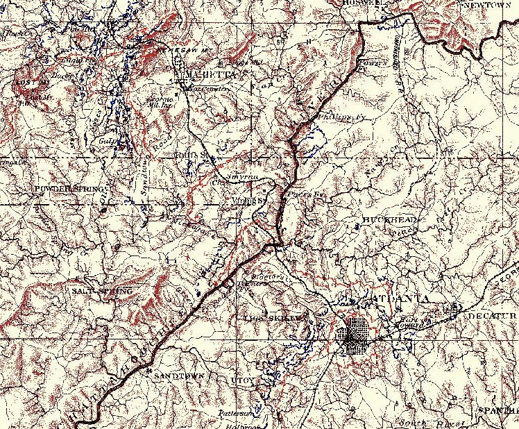
Union Map From Resaca to Marietta
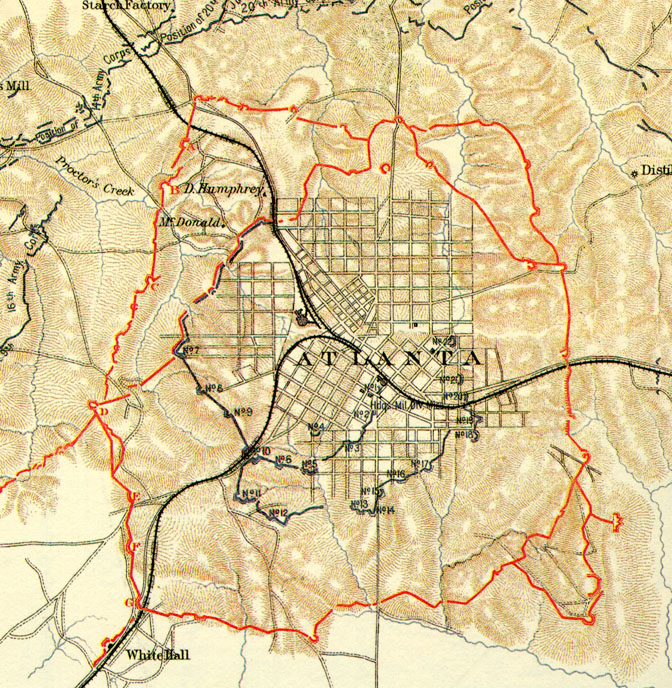
Atlanta:
Siege Map 1864 ---
Vicinity 1864 ---
1864 Troop Movement - Atlanta ---
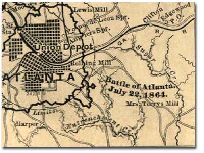
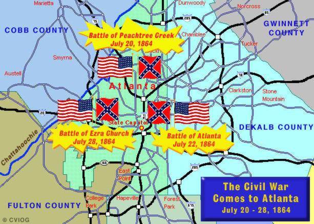
Battle of Atlanta
Atlanta Campaign between Kingston & Atlanta ---
Atlanta Campaign
Location of three major skirmishes in Battles of Atlanta on modern
map
Union Map Showing Marietta to Atlanta and Vicinity ---
Downtown Atlanta 1864
Atlanta Campaign - Chattanooga to Atlanta ---
Federal Operations - Chattanooga to Jonesboro
Cobb County with red marks
Map after Battle of Peachtree Creek showing Federal defenses of Atlanta
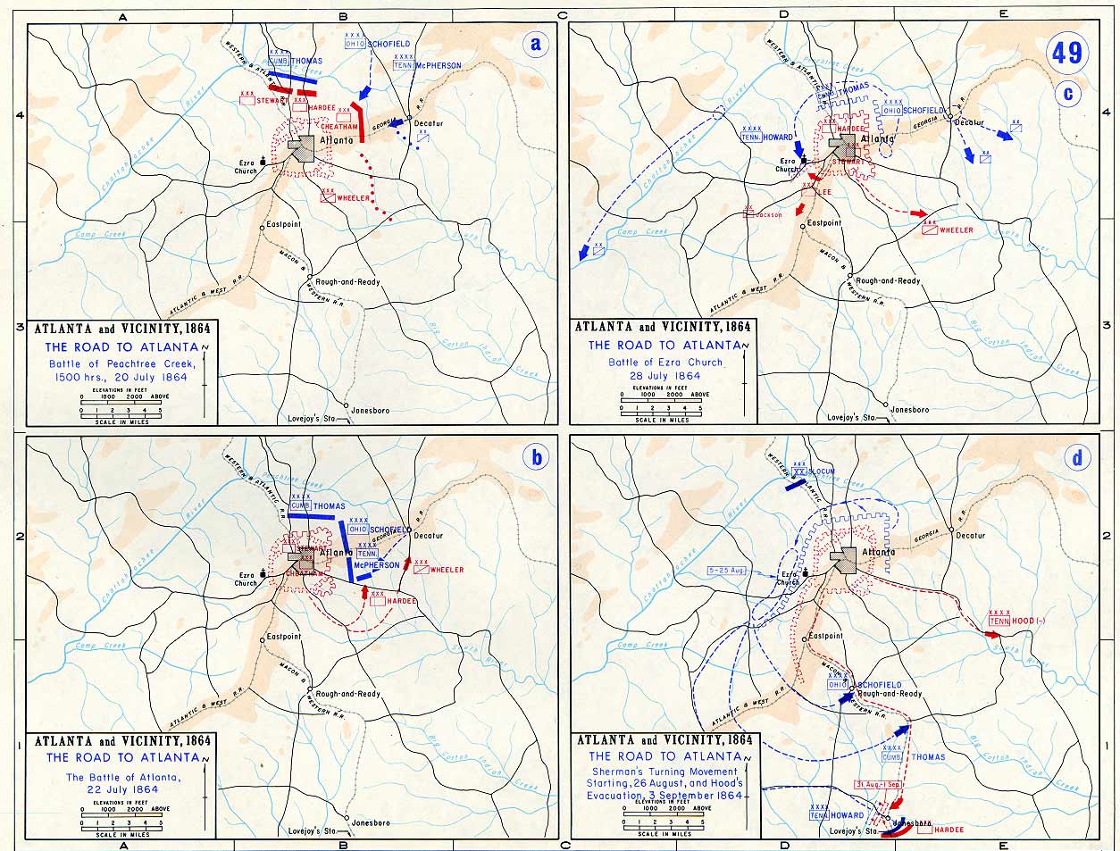
Several maps of the Atlanta Campaign ---
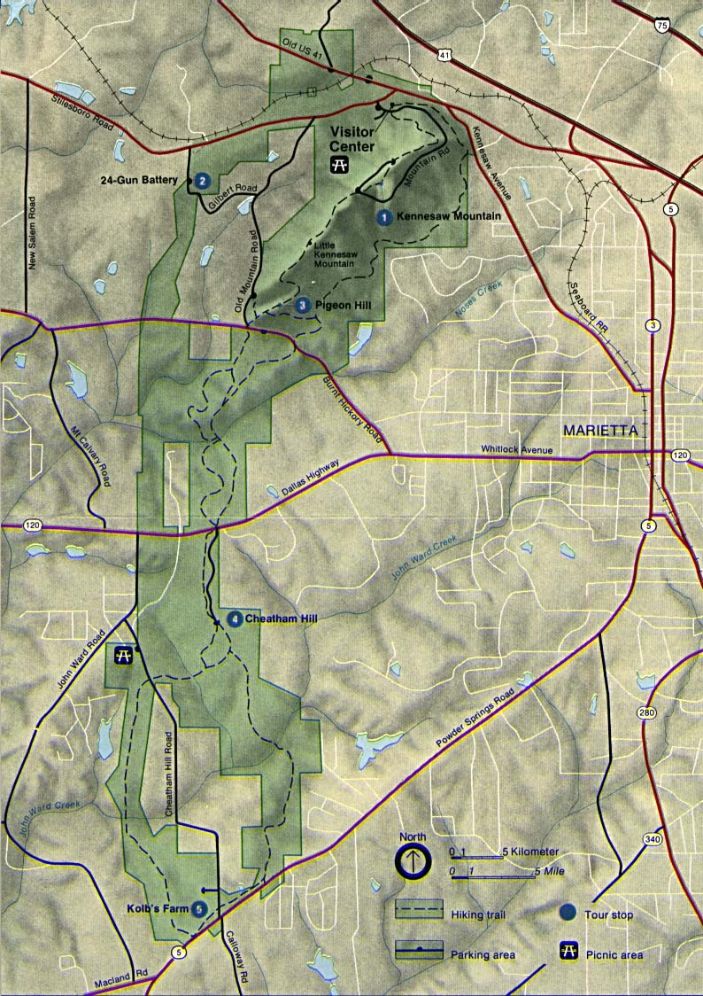
Kennesaw Mountain NBP
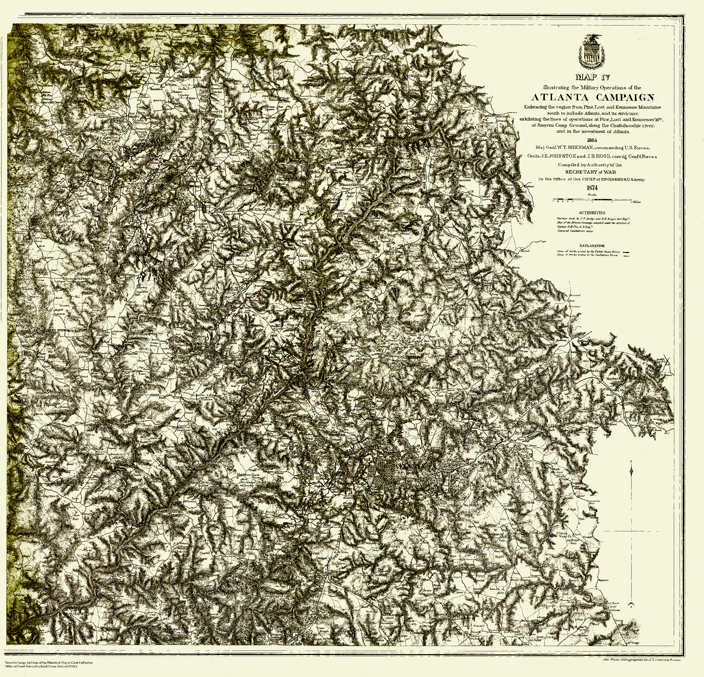
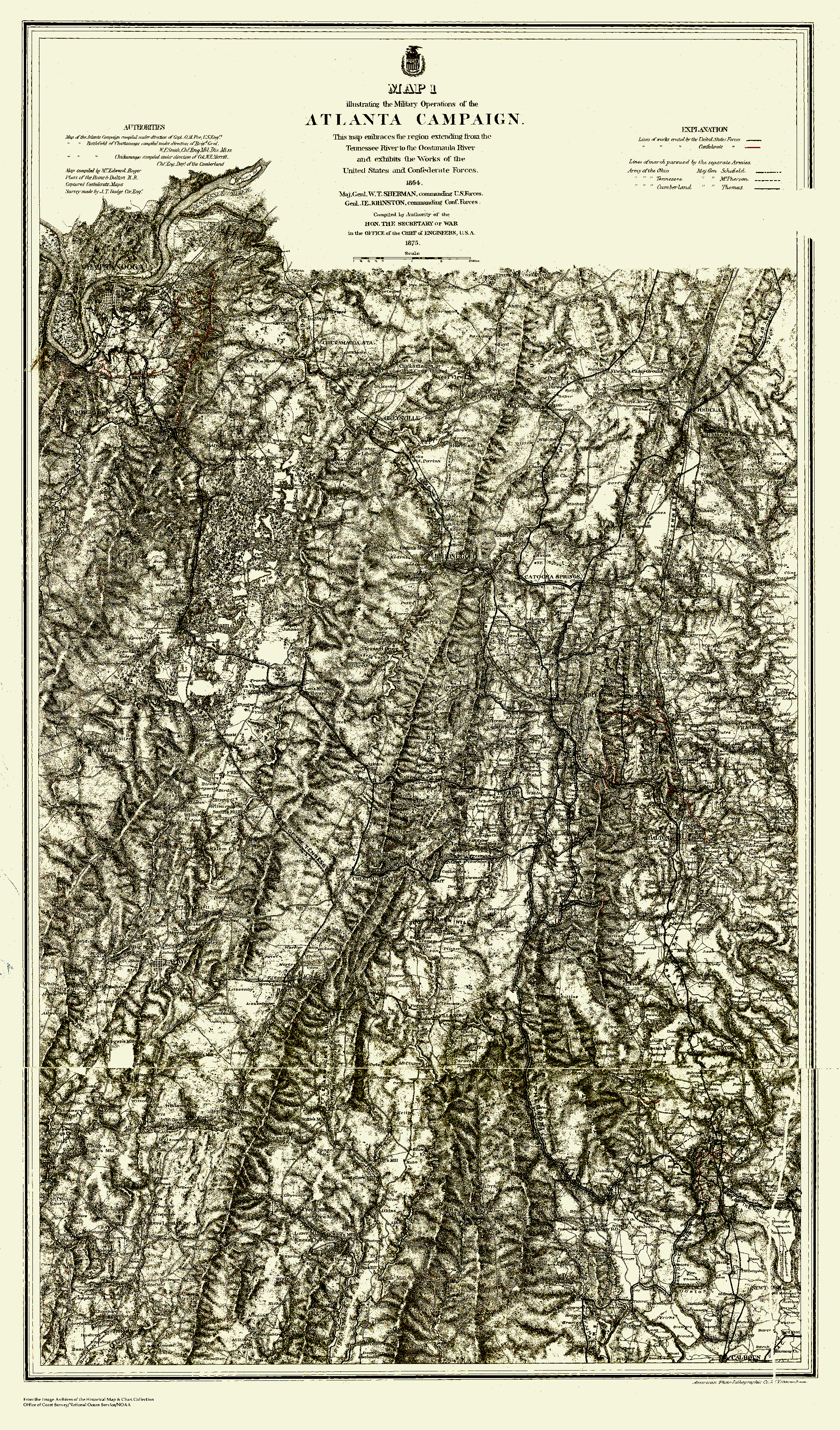
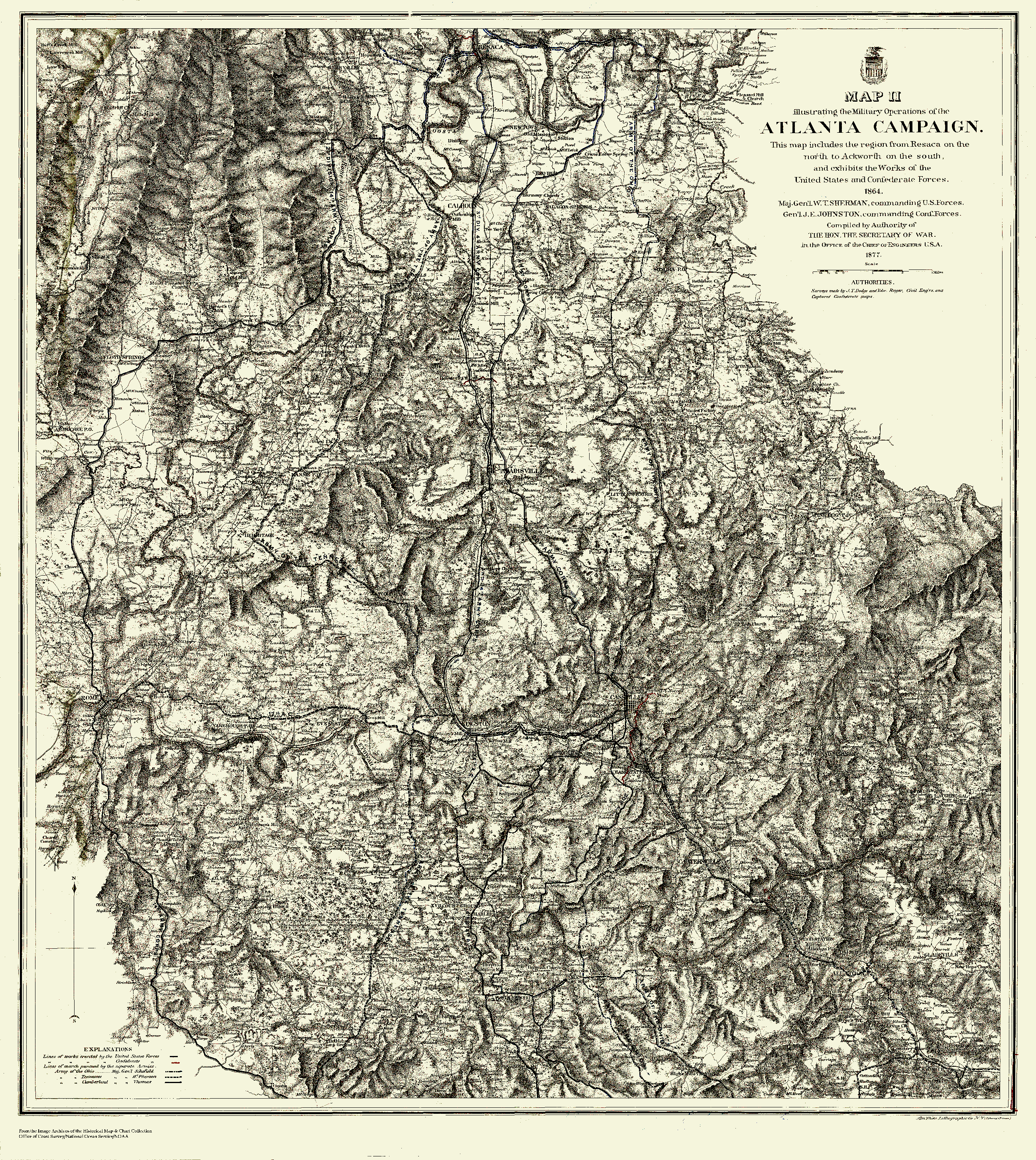
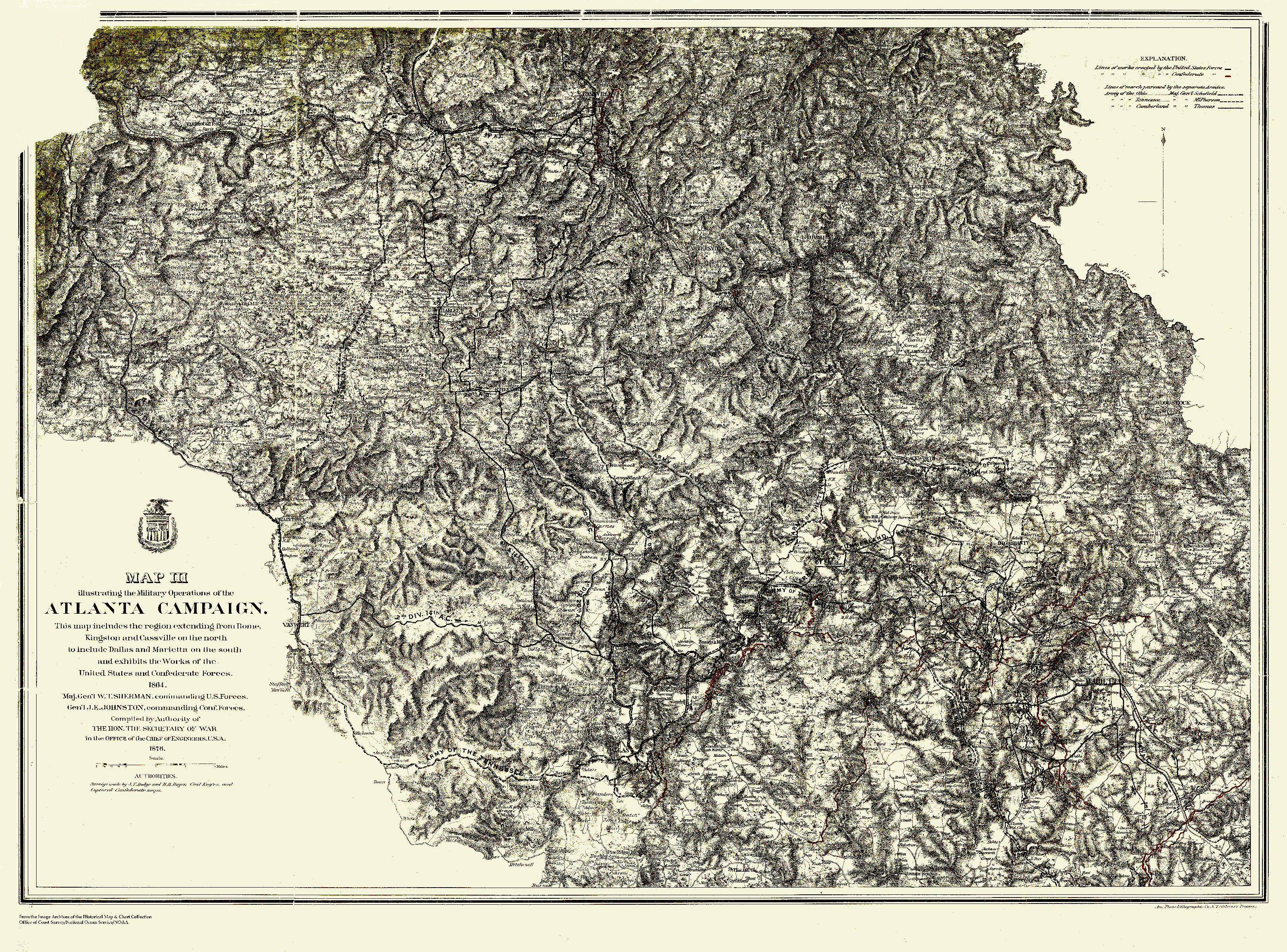
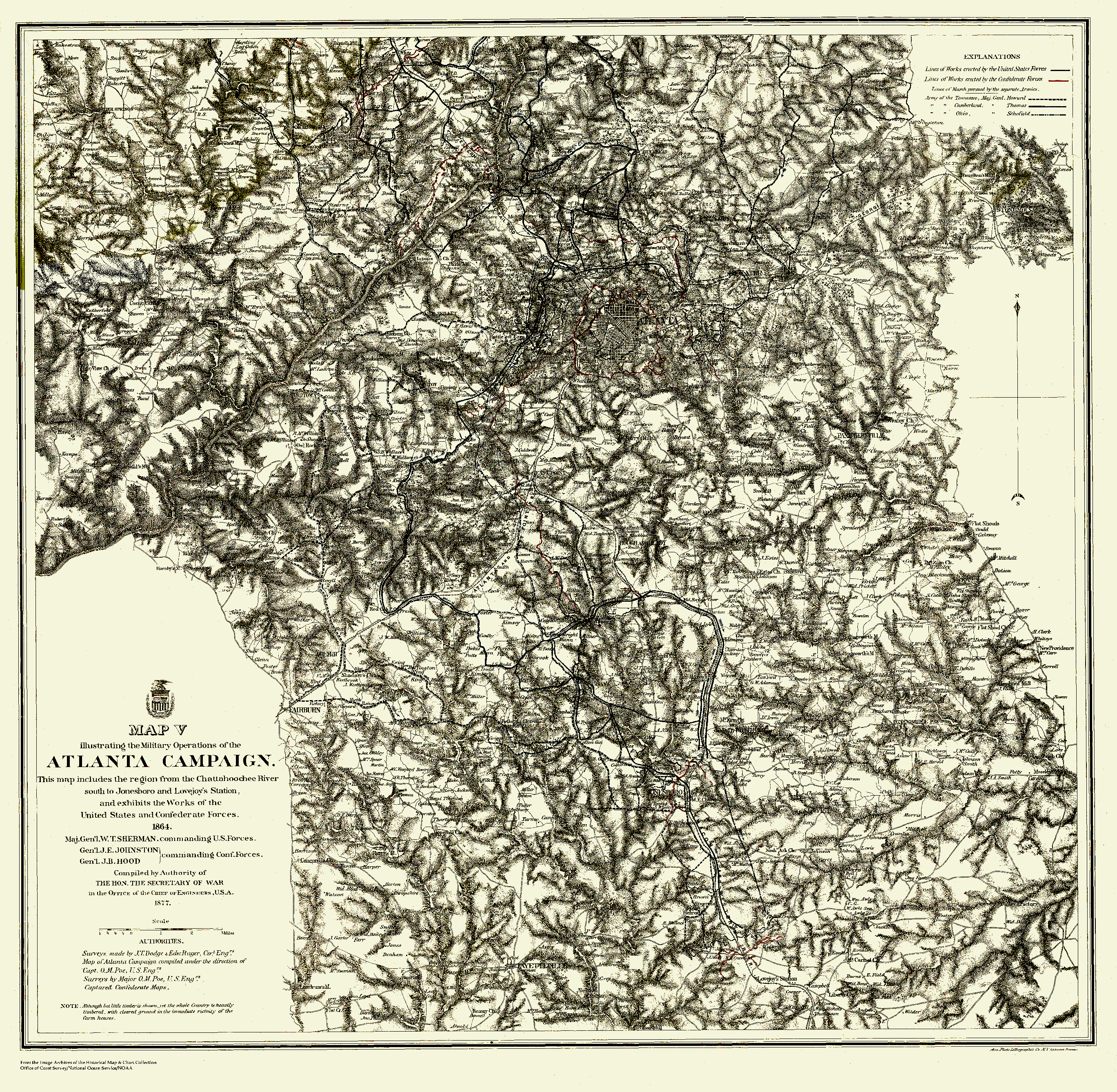
Military Operations of the Atlanta Campaign:
Map 1 - Map 2 -
Map 3 - Map 4 -
Map 5
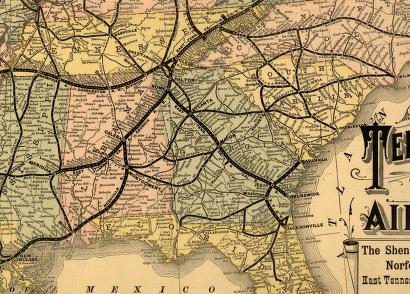
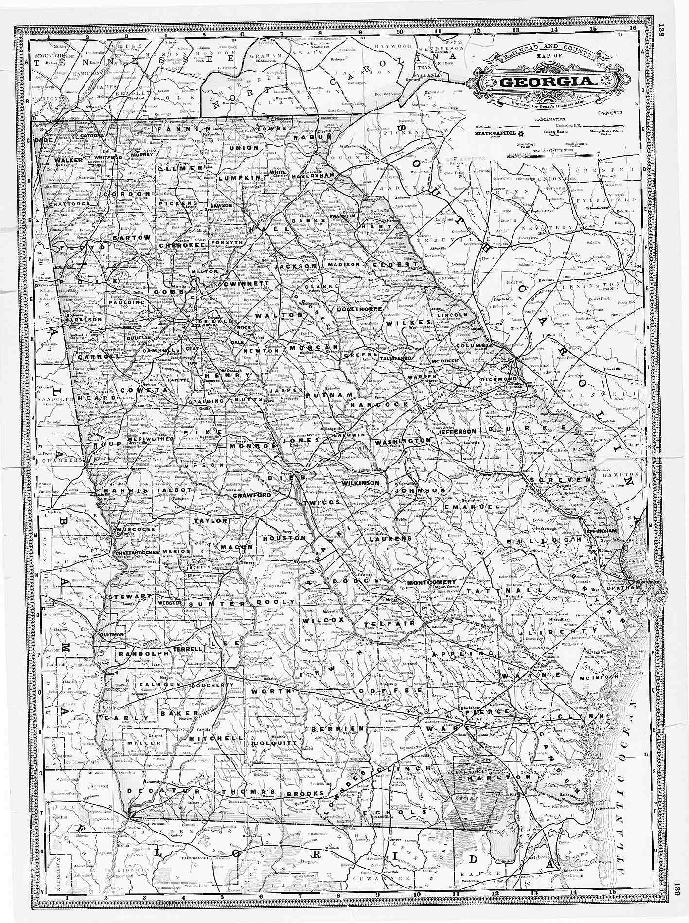
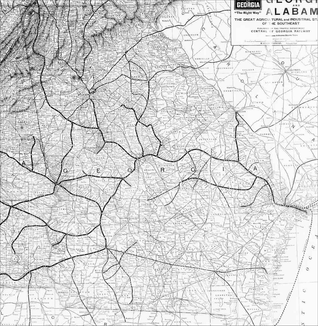
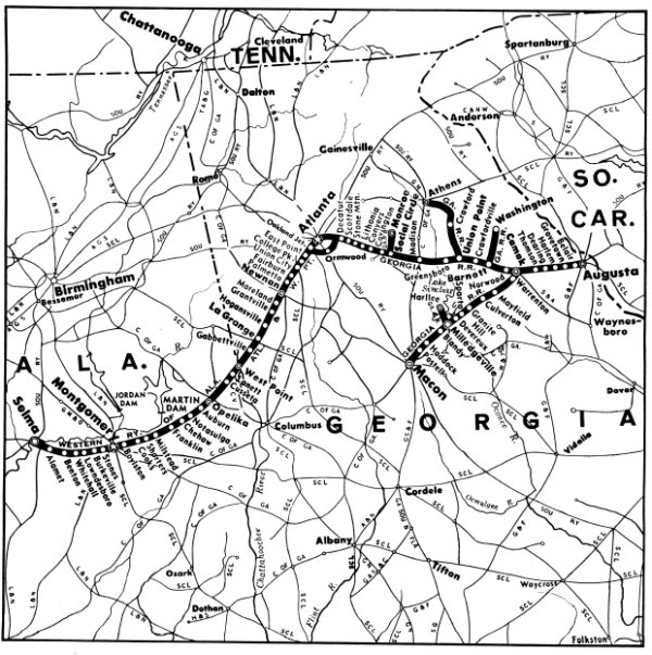
Railroads of Georgia
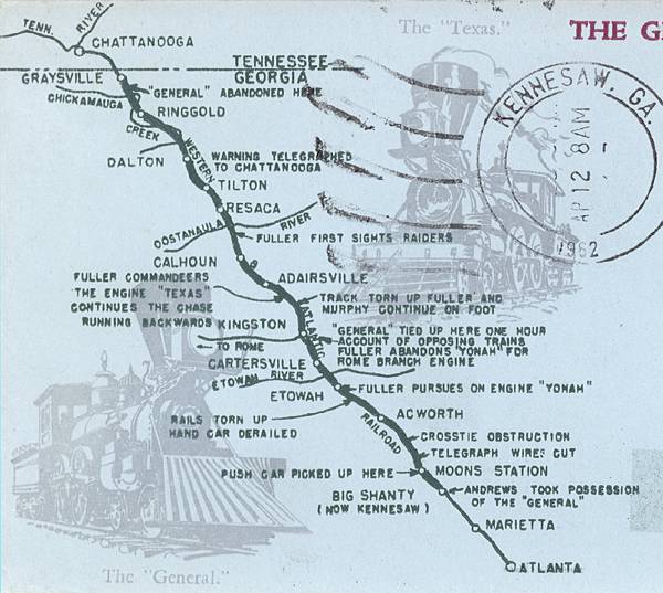
The Great Locomotive Chase Route
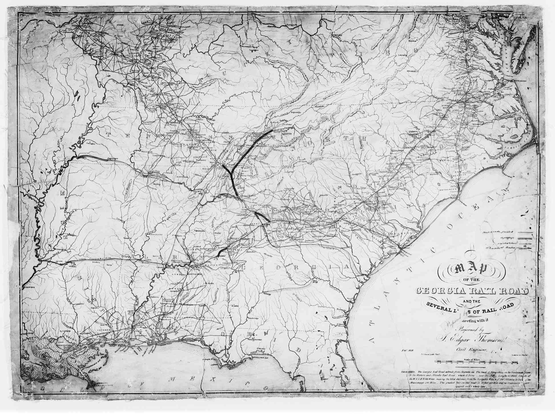
Railroad Map - 1837
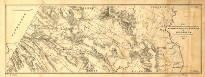
Georgia and Alabama Railroad Map - 1839
Railroad Map - 1863
Transportation Maps - 1866
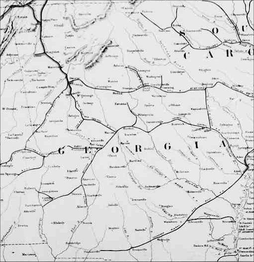
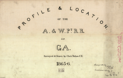
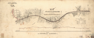
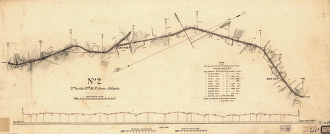
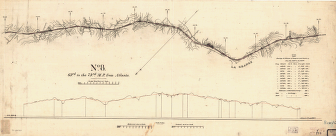
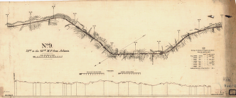
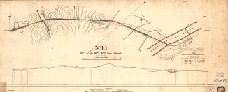
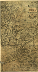
1865-1866 Western & Atlantic Railroad Georgia Map:
Front Page -
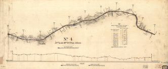
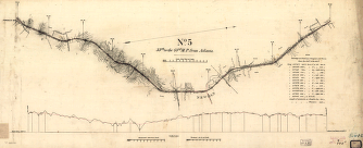
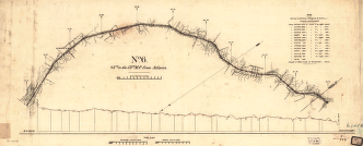
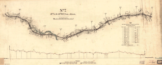
No. 1 - No. 2 -
No. 3 - No. 4 -
No. 5 - No. 6 -
No. 7 - No. 8 -
No. 9 - No. 10
Railroad Map - 1869
Railroad Map - 1874
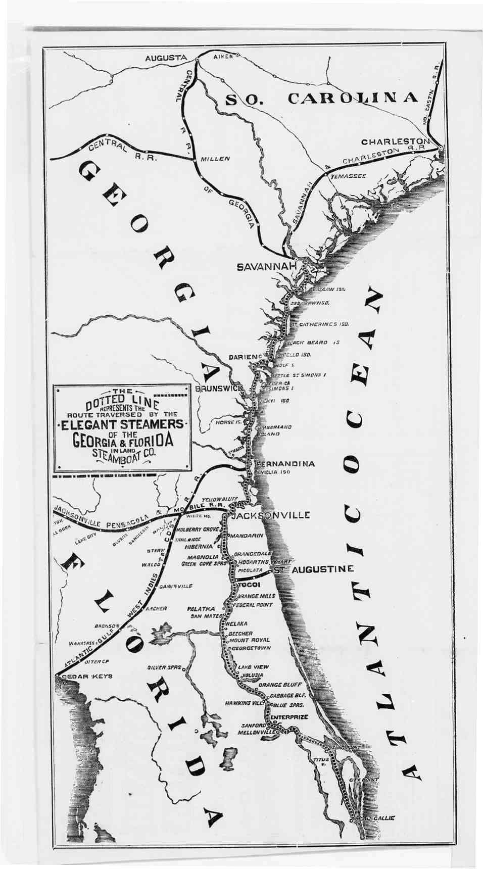
GA & FL Inland Steamboat Co. Map - 1878
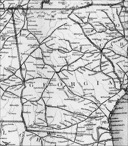
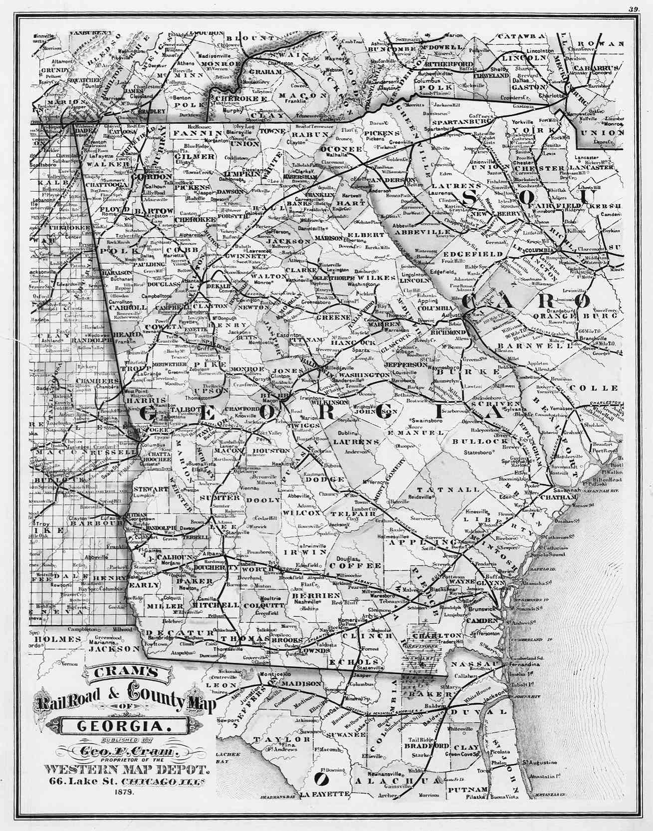
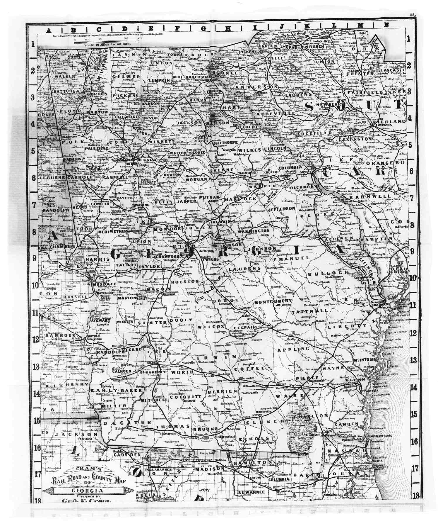
Railroad Map - 1879
Railroad Map - 1881
Southeastern US Rail Lines - 1883
Georgia Rail Lines - 1885
Railroad Map - 1886
Georgia Rail Lines - 1887
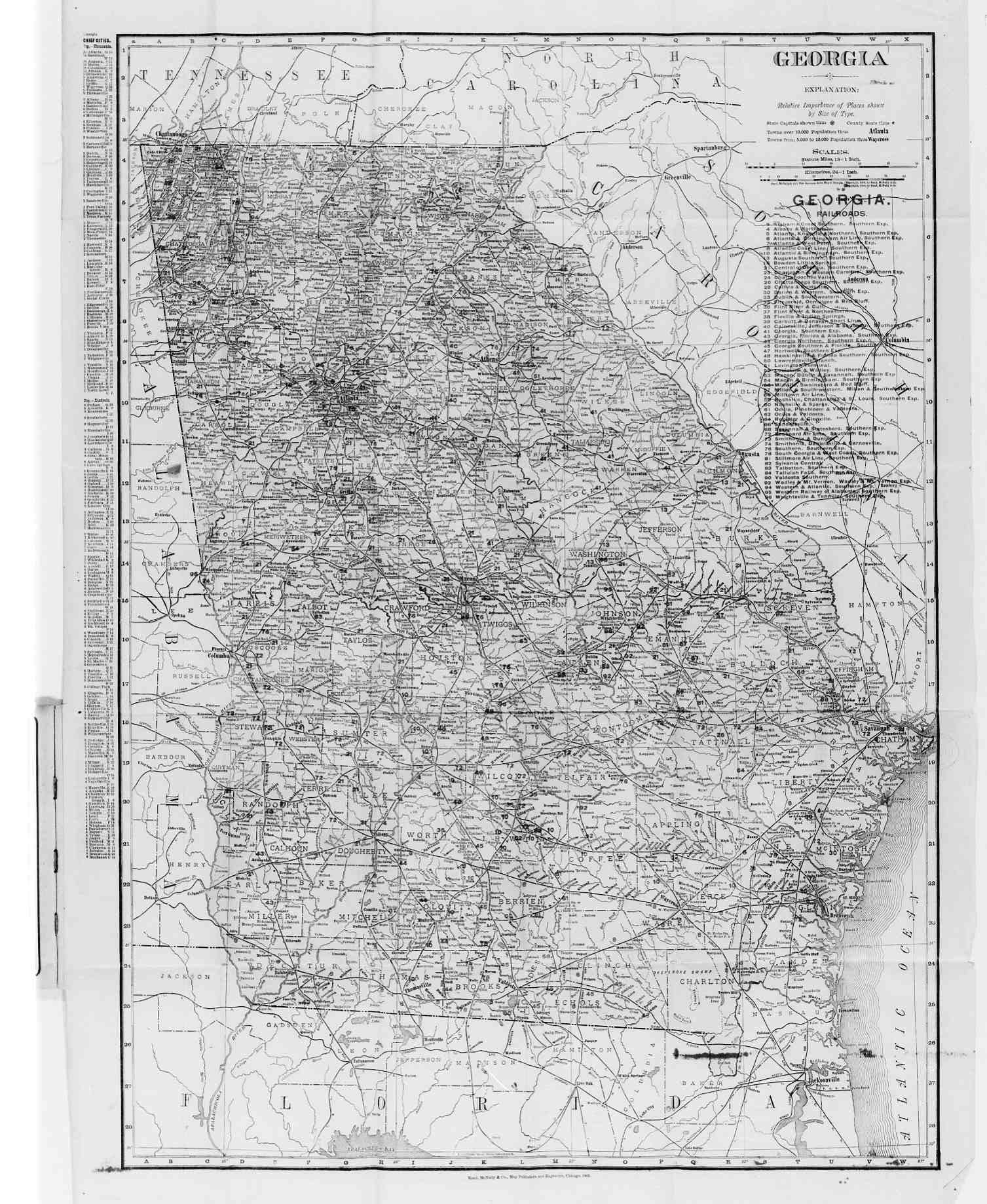
Railroad Maps: 1905 -
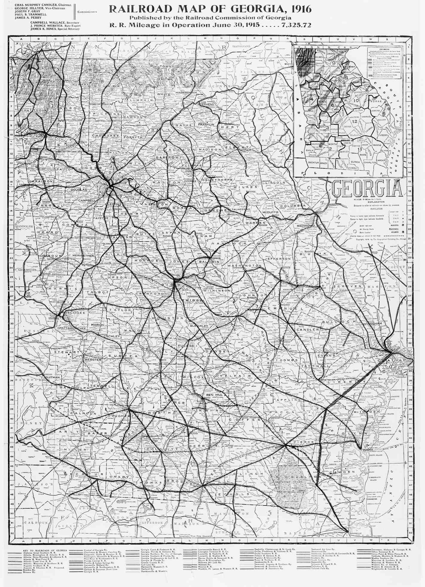
1916 -
1920 -
1920 #2 -
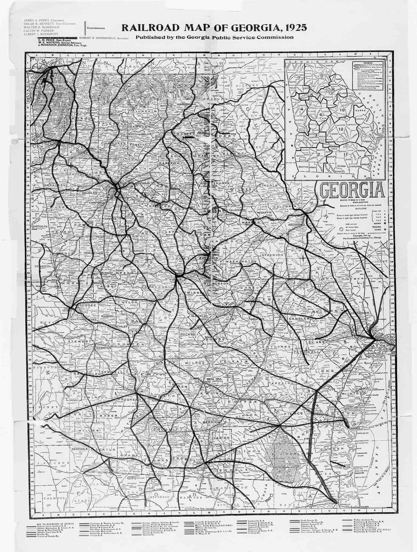
1925 -
2002

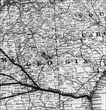
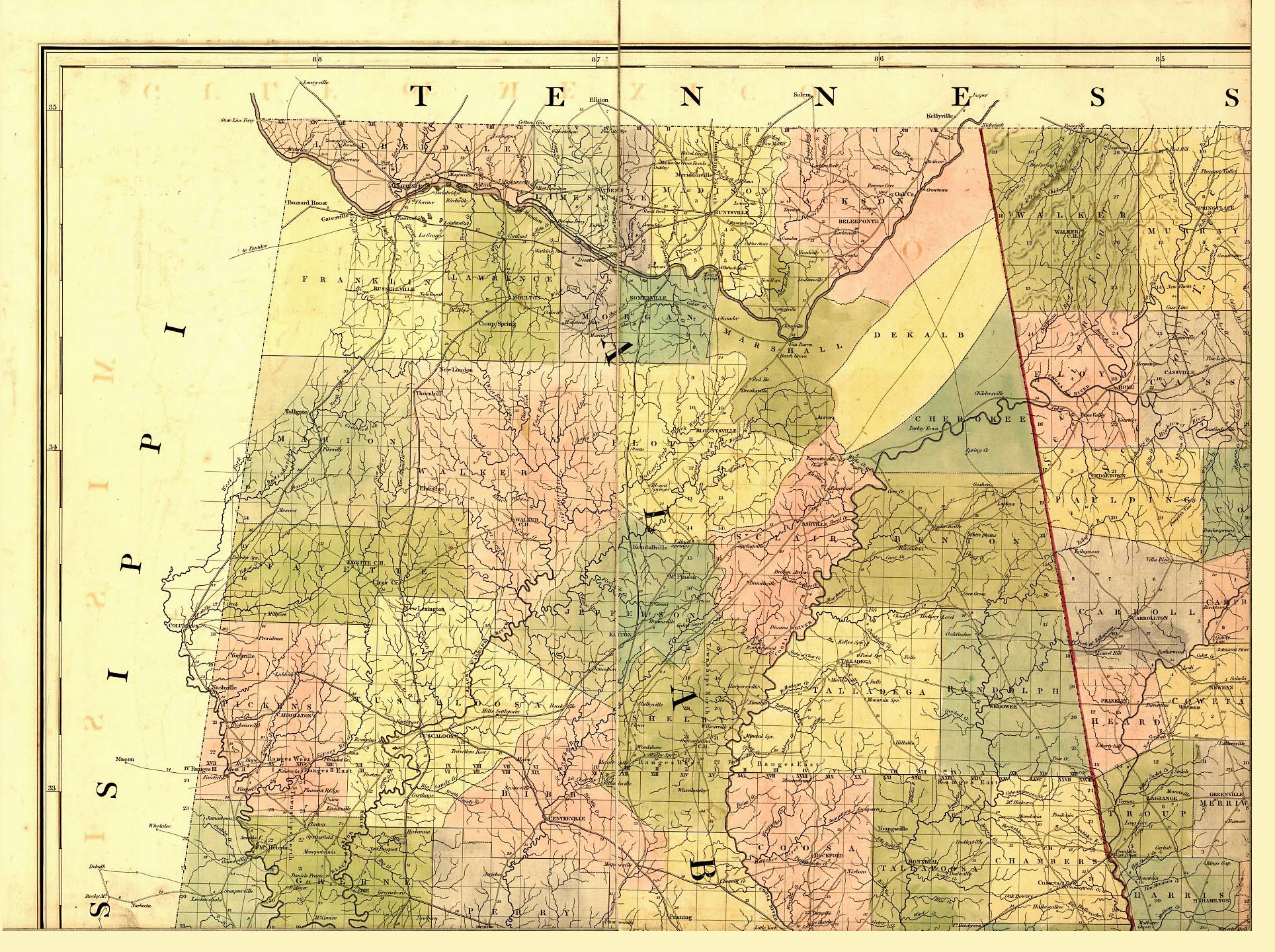
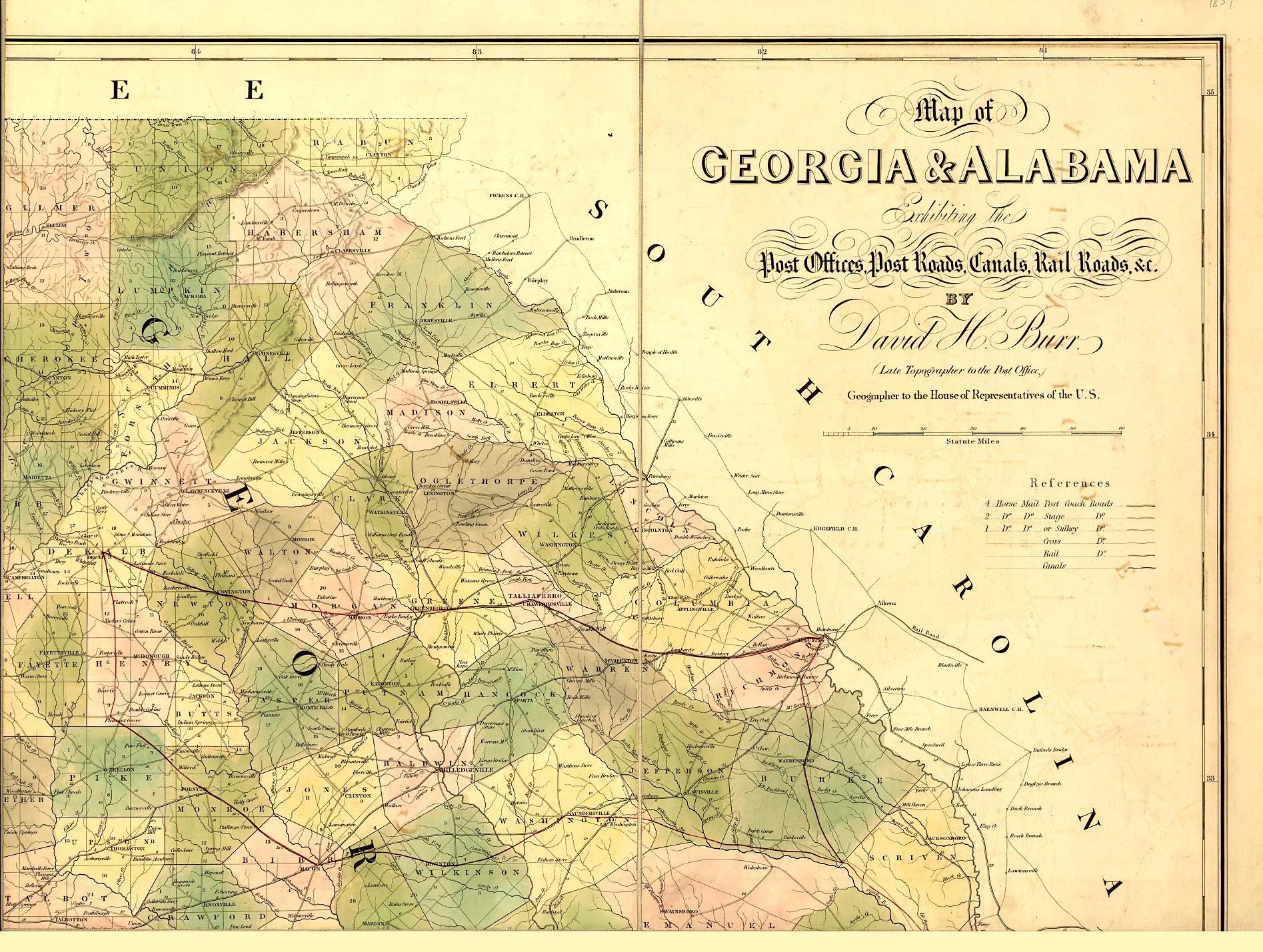
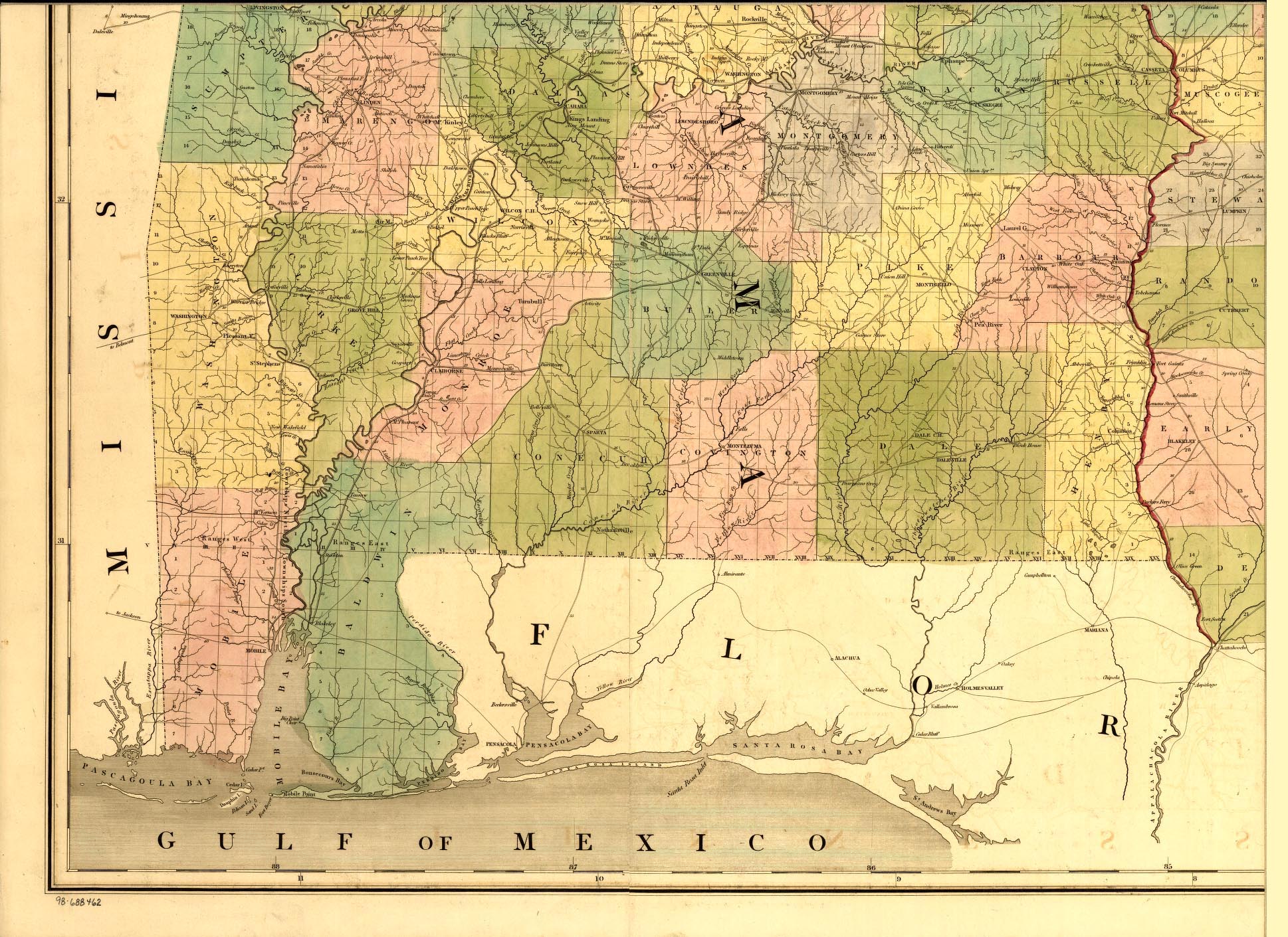
Map of Georgia & Alabama exhibiting the post offices, post roads, canals, rail roads &c. By David
H. Burr. (Late topographer to the Post Office.) Geographer to the House of Representatives of the U.S.
Northwest (851k) *
Northeast (694k) *
Southwest (695k) *
Southeast (592k)
Scan courtesy of Library of Congress,
American Memory website.
This is a public domain map. This large map of Georgia & Alabama was converted from a 14,316k Mr Sid (.sid) formatted file.
We have split the scan into four parts and greatly reduced the file size by JEPG compression. You may save each part on
3.5" floppy disks.
[Washington, U.S. Coast Survey], 1864.
Preliminary chart of Wassaw Sound, Wilmington and Tybee Rivers, Georgia From a trigonometrical survey under the direction
of A. D. Bache, Superintendent of the survey of the coast of the United States.
By Triangulation by C. O. Boutelle, C. P. Bolles, A. W. Longfellow and Lieut. A. W. Evans, U.S.A. Assists. Topography
by W. H. Dennis and C. Fendall, Sub-Assists. Hydrography by the parties under the direction of C. O. Boutelle, W. S.
Edwards, Assists. and C. Fendall, Sub-Assist.1864.
Scan courtesy of Library of Congress, American Memory
website. This is a public domain map. This large map of Georgia was converted from a Mr Sid (.sid) formatted file. We
have cut the Georgia part of the map out scan into and greatly reduced the file size by JEPG compression. You may save
on to a new 3.5" floppy disk.
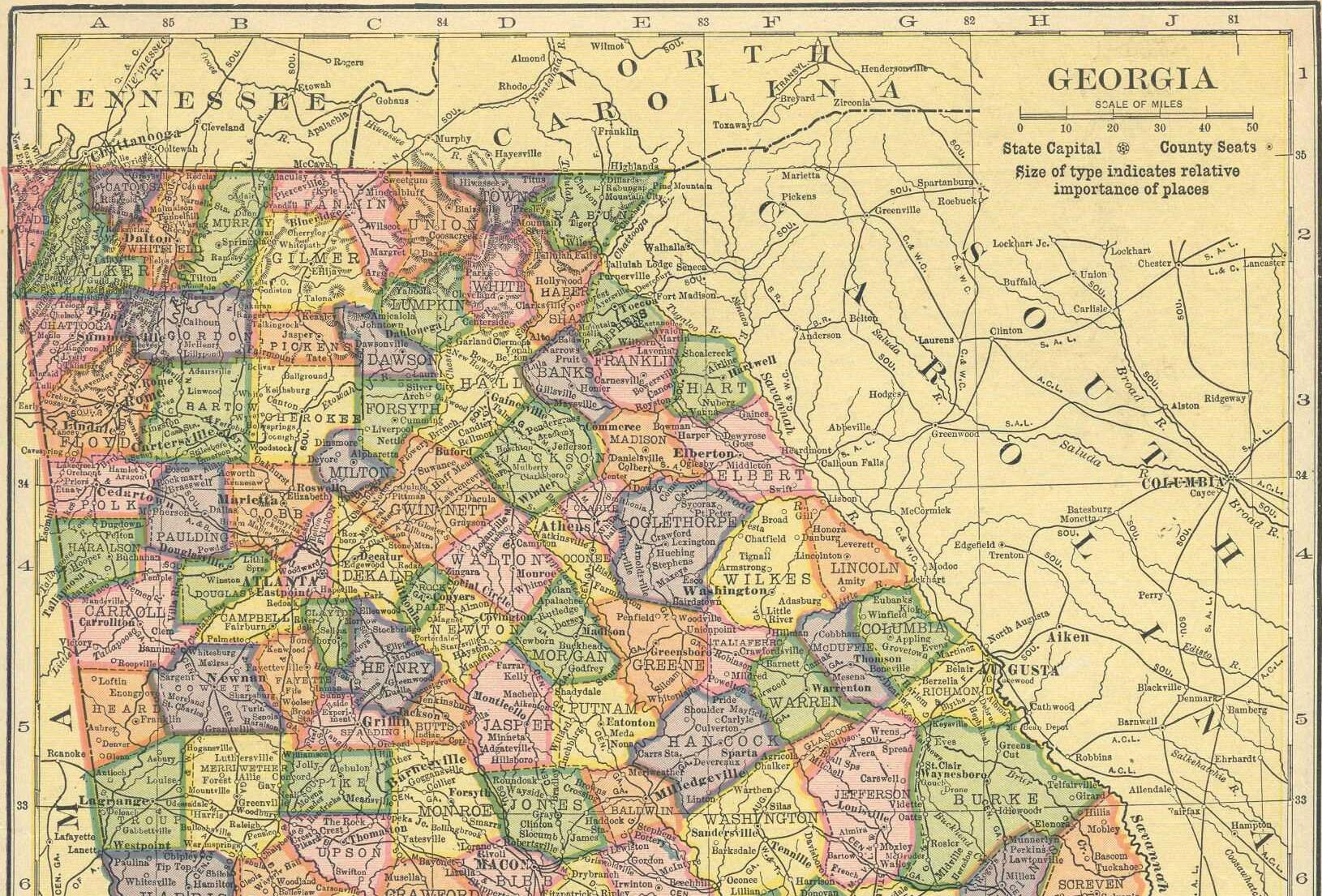
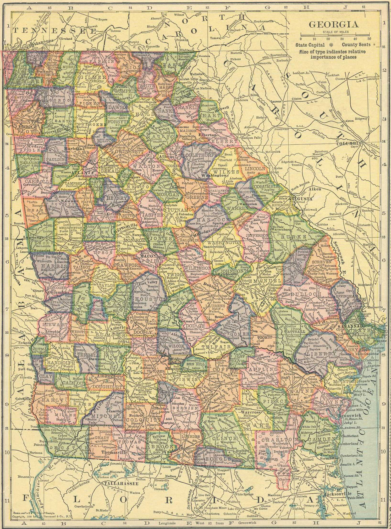
Georgia 1910
Hammond Ininternational Atlas, 1910
Scan courtesy of George Stephan. We have cut the map into two sections
and greatly reduced the file size by JEPG compression. You may save each on to a new 3.5" floppy disk.
![[Washington, U.S. Coast Survey], 1864.](statemap/coast1864.jpg)
Northern Georgia or Southern Georgia (Each Map is 523 KB in size)
Full Size (793 kb)
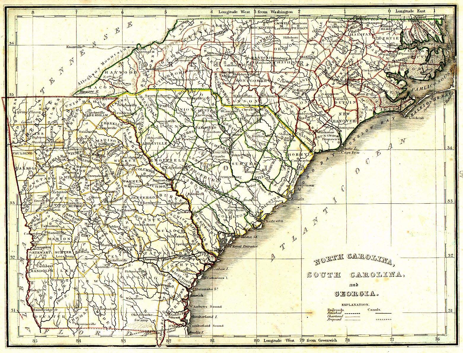
North Carolina, South Carolina & and Georgia,
(703k)
Map from an 1839 Atlas, published in Boston by Thomas Bradford
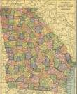
Georgia County Maps
 |
Other Georgia Links |

|
- US Digital Map Library
- The GAGenWeb Project
- The USGenWeb Project
- The GAGenWeb Archives
- The GAGenWeb Archive FTP
- USGenWeb Archives
Copyright © 1999- USGenWeb Archives Project