
The USGenWeb Archives Digital Map Library
- Colorado State Maps


State Maps
Territory Map 1860
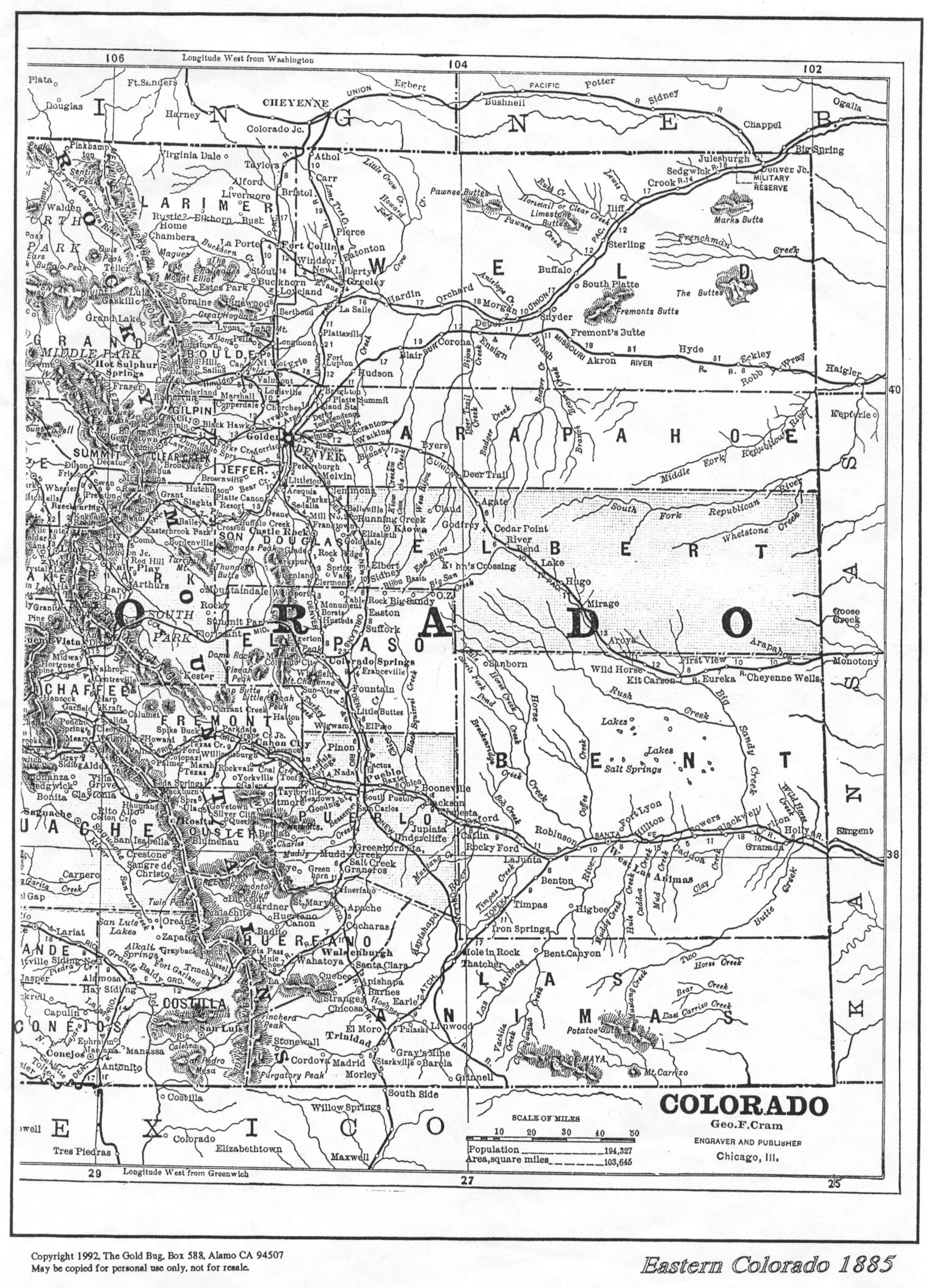
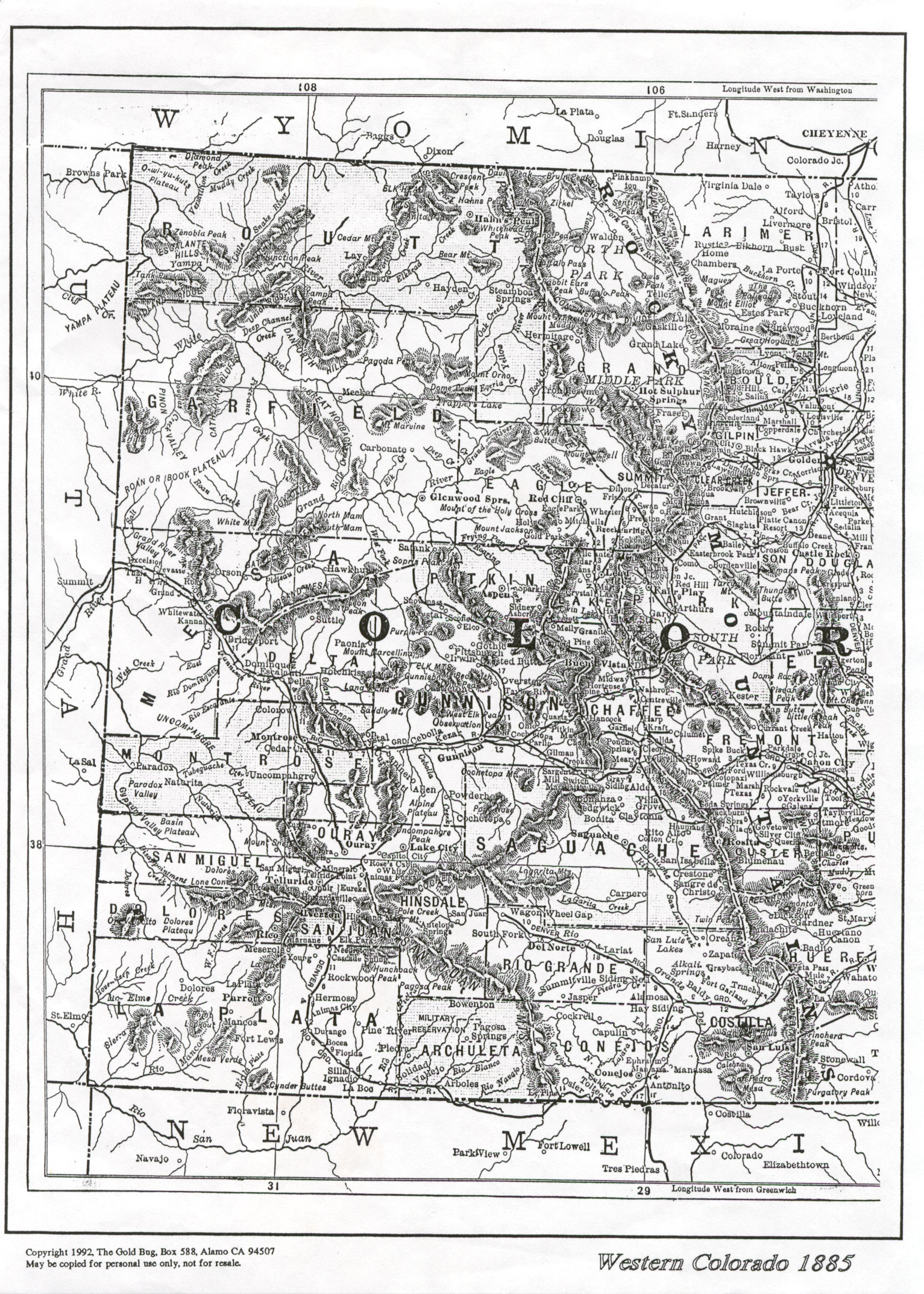
1885 Colorado. These two plates (East and West) are modern reprints of a
Colorado Map originally published in 1885 by George F Cram, Engraver and
Publisher, Chicago, Ill. They were republished in 1992 by Gold Bug Historic
Maps. The plates are used here with Gold Bug's permission. Scans are by Donna Ross.
1895 Colorado (2440x1700
pixels, 1.75 MB!) State map from the Rand McNally Railroad Atlas of the
United States. Original scan by Ray Steiner for his
Color Landform
Atlas of the U.S. Used here with his permission. (For much smaller,
county detail maps from this large map see the Circa 1895 County Map index
below.)
County Maps
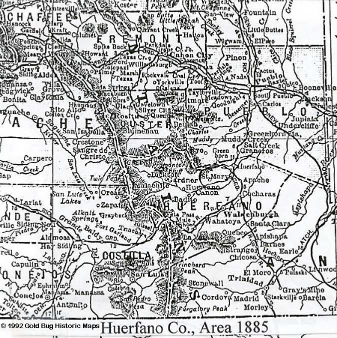
Huerfano County 1885 (135 kb
JPEG) Map of the Huerfano County area, also deplicts Custer, Fremont, Pueblo,
Costilla and parts of the surrounding counties. Detail map contributed by Donna
Ross. Taken from the Western Colorado 1885 map plate (see above), published in
1992 by Gold Bug Historic Maps and Software, used with their permission.
Yuma County, Colorado 1922
C300 dpi scans of pages from the Standard Atlas of Yuma County Colorado published by
George A. Ogle & Company, Chicago, 1922.
Circa 1895 County maps from the Colorado map sheet
in the 1895 Rand McNally Railroad Atlas of the United States
Circa 1905 County maps from an untitled black and
white Colorado classroom map.
Circa 1920 County maps from a large Colorado map
in the 1922 Standard Atlas of Yuma County.
City Maps
Denver
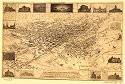 |
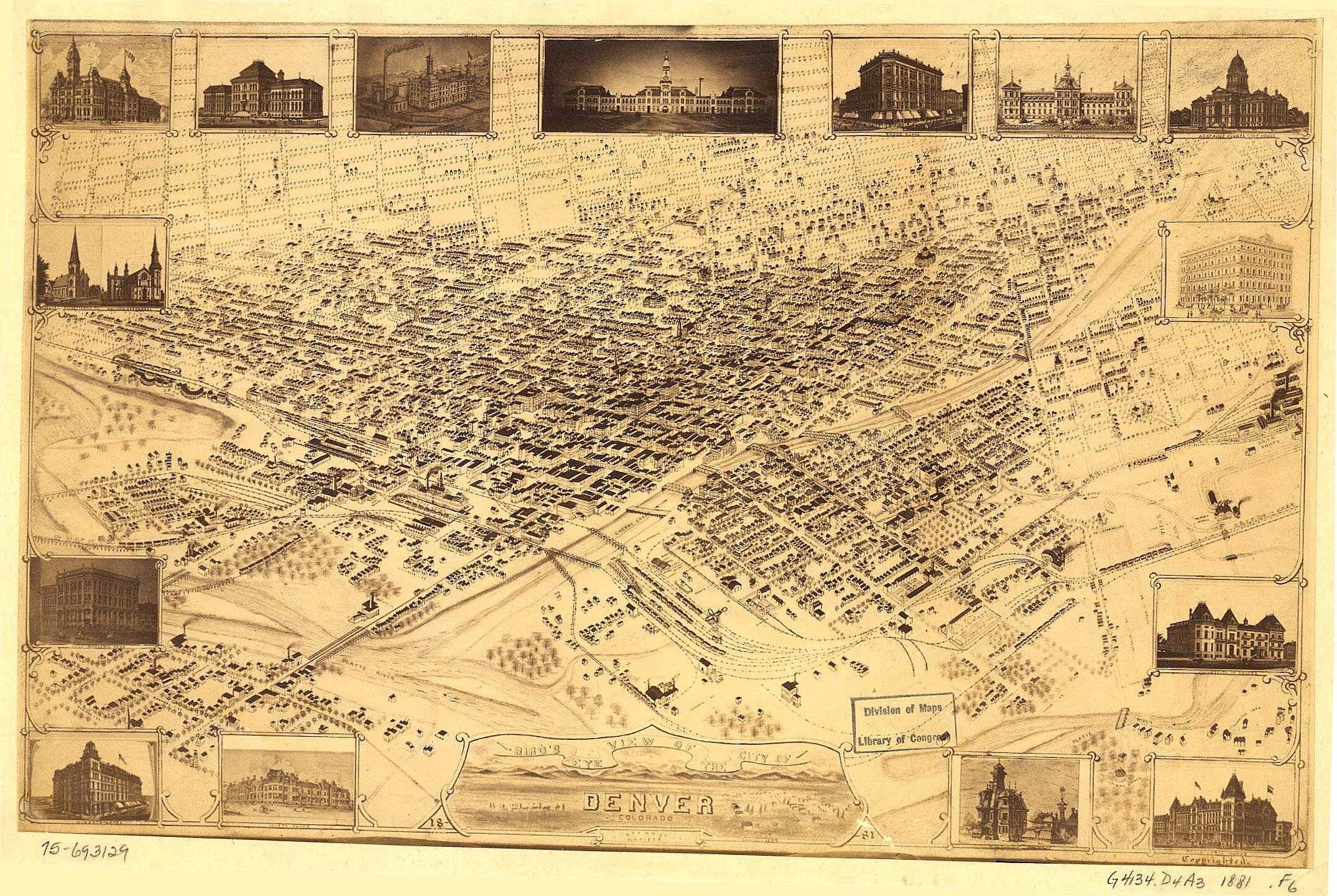
1881 Bird's Eye View of the City of Denver,
Colorado. Drawn by J.H. Flett.
From the Library of Congress Map
Collection.
Contributed by Kelly Jensen-Mullins. 615 kb JPG |
Manitou
 |
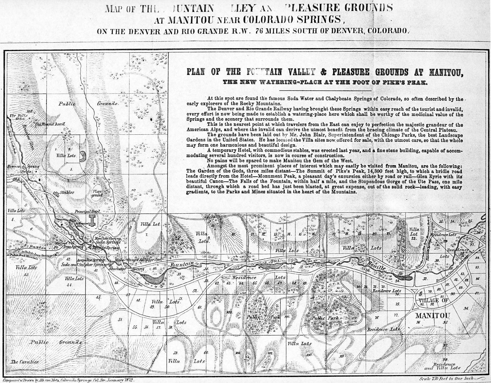
1872 Map of the Mountain
Valley and Pleasure Grounds at Manitou Near Colorado Springs.
Composed
and Drawn by Alb.ron Motz, Colorado Springs, Col. Ter. January
1972
Contributed by Jeff
Christlieb. 560 kb JPG |
The contents
will continue to grow only if you loan your old Colorado maps to the project to
be scanned.
Return to the USDML Index.
Return to the Colorado USGenWeb
Archives Project Index.
Return to the COGenWeb
Map Index.
This page is maintained by
Rebecca Maloney
| 