 |
Arkansas Digital Map Library |
The state of Arkansas is currently without a State Map Coordinator. If you would like to be part of the Digital Map Library team and/or make contributions, please e-mail me, Rebecca Maloney. Your contributions are both needed and appreciated!
Arkansas State Maps
State of Arkansas County outline map. U.S. Census Bureau, 1990 (84k)
South Central United States, circa 1897, includes Arkansas, Louisanna, Mississippi and Alabama. Redway and Hinman, American Book Company (510k)
Map of the Southern States, circa 1881, including Florida, Louisiana, Georgia, Alabama, and Mississippi (556k)
Arkansas County Maps
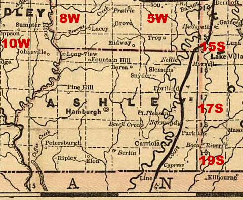
- Ashley County
- Chicot County
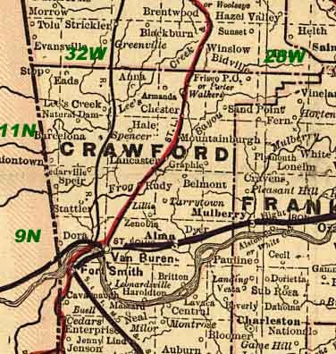
- Crawford County
- Franklin County
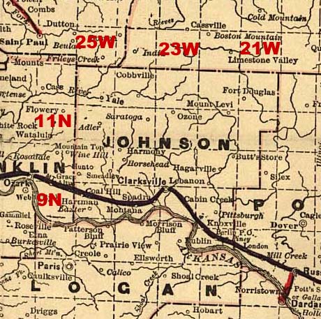
- Johnson County
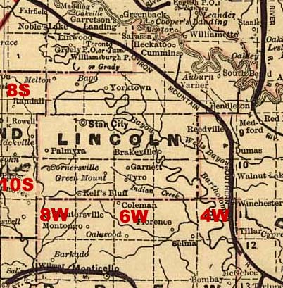
- Lincoln County
- Nevada County
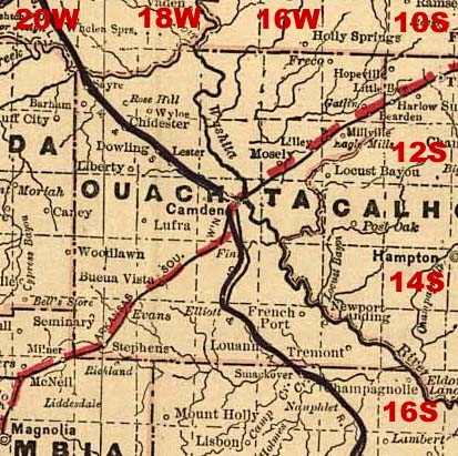
- Ouachita County
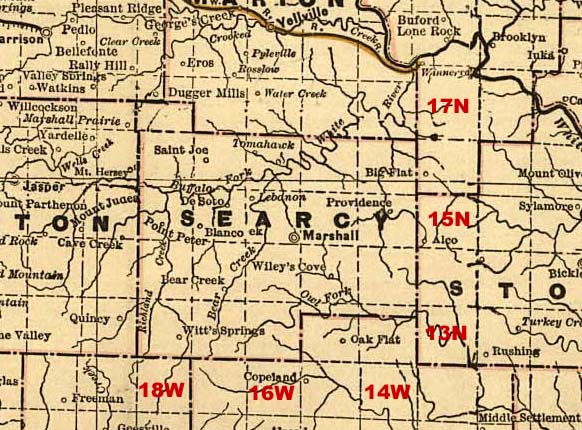
- Searcy County
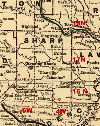
- Sharp County
Scott County Maps: History of Scott County Arkansas, by Henry Grady McCutchen, Printed in Arkansas, U. S. A., Copyright, 1922, by H. G. McCutchen; submitted by Joy Fisher
Arkansas City Maps
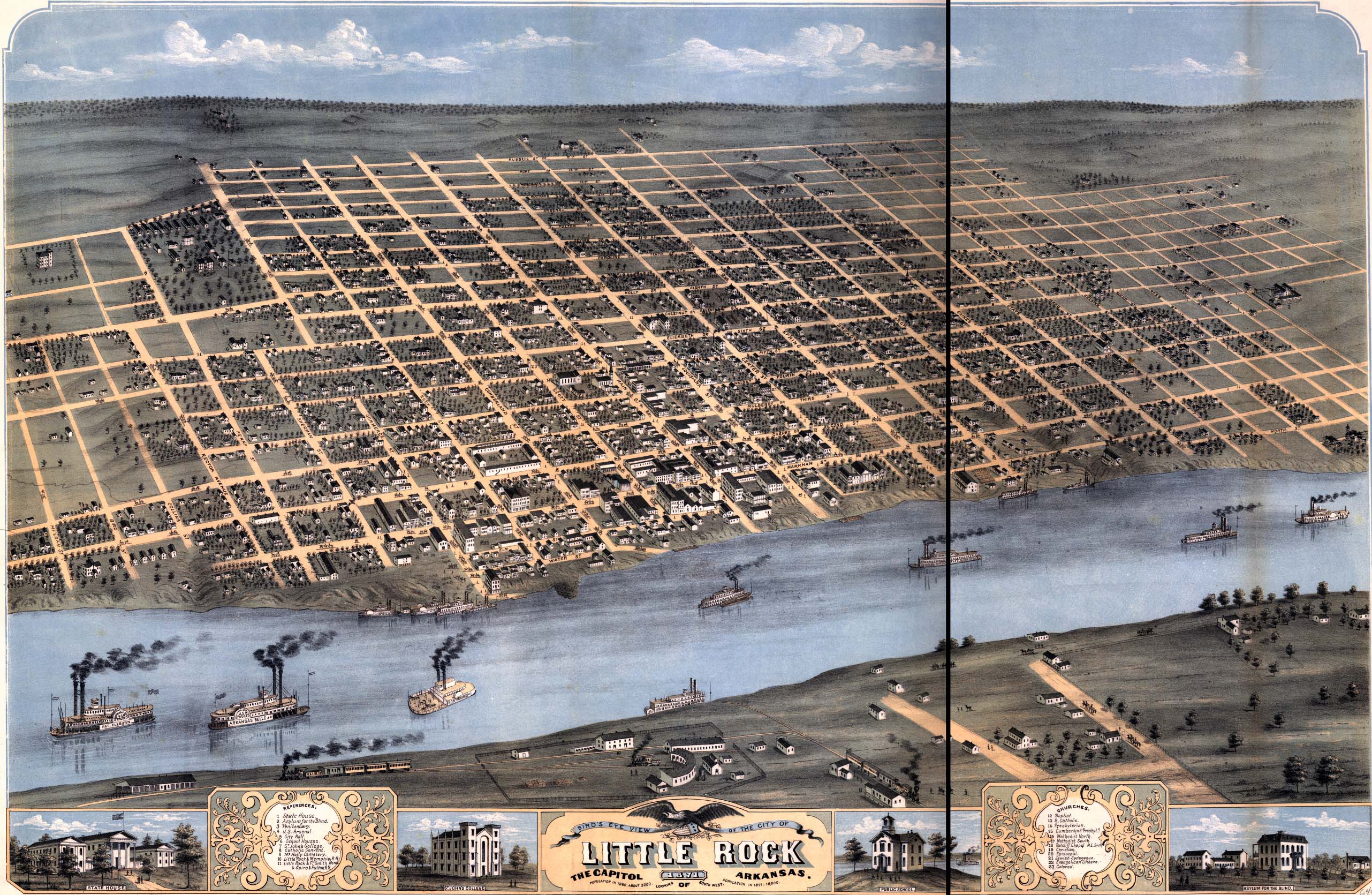
Joy Fisher
Coordinator
Rebecca Maloney
Special Projects Representative


Copyright © 1999- USGenWeb Archives Project