| Clayton County |

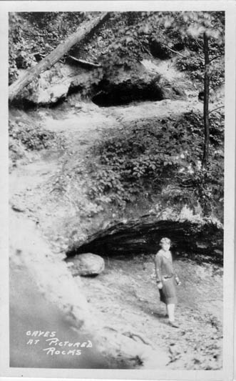
Caves at Pictured Rocks |
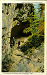
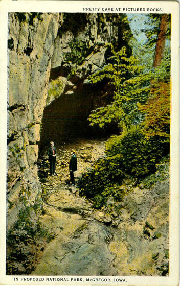
Pretty Cave at Pictured Rocks |
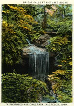
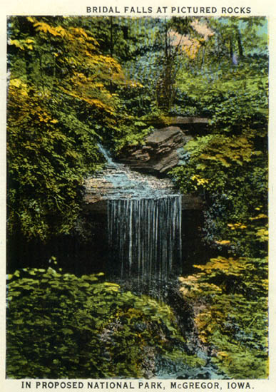
Bridal Falls at Pictured Rocks |
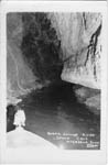
Underground River, Spook Cave, McGregor |
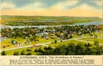
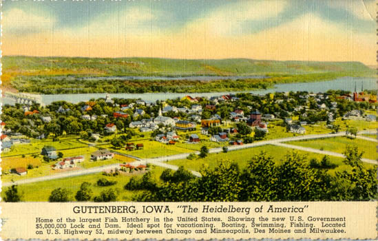
Guttenberg |
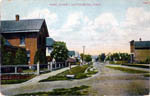
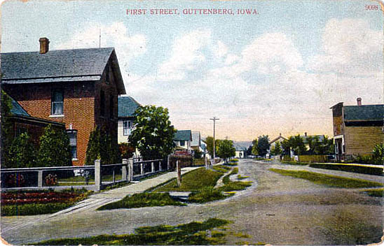
First Street, Guttenberg |
| Elkader |
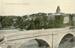
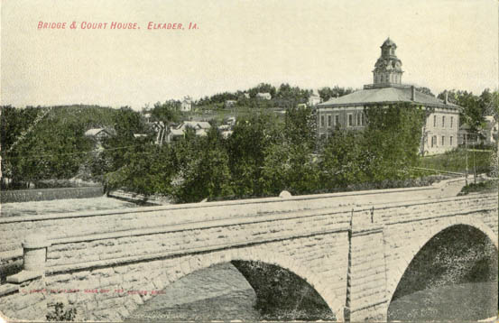
Elkader Court House and Bridge |
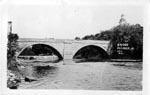
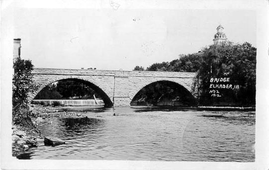
Elkader Bridge [1911] |

Upper Front Street, Elkader [1907] |
Lower Front Street, Elkader [1907] |
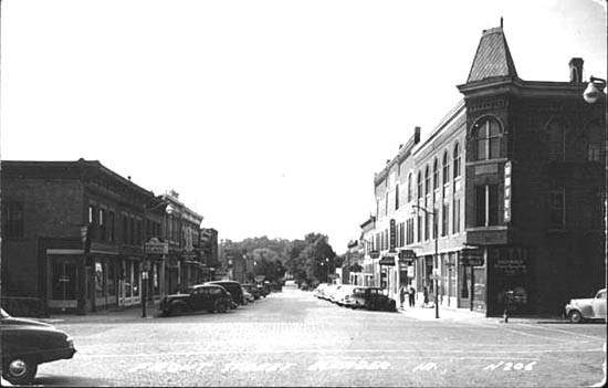
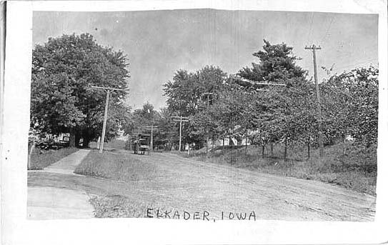
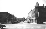
Street Scene, Elkader [1914] |
| McGregor |

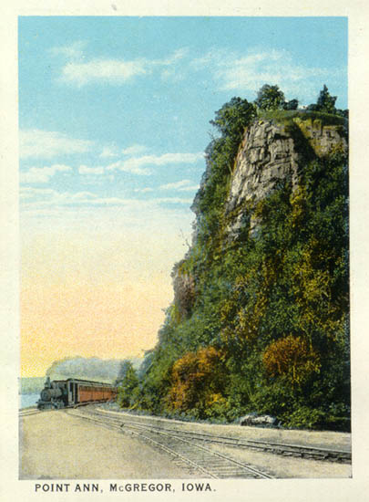
Point Ann, McGregor |
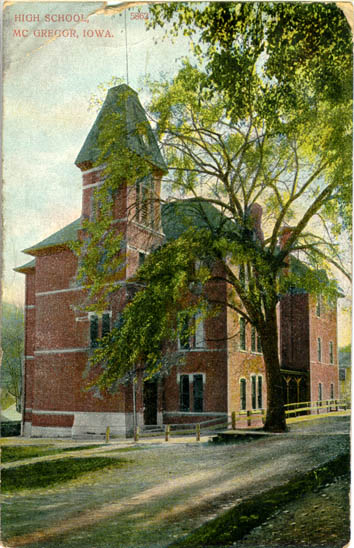
McGregor High School |
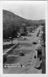
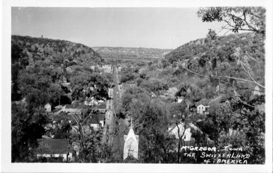
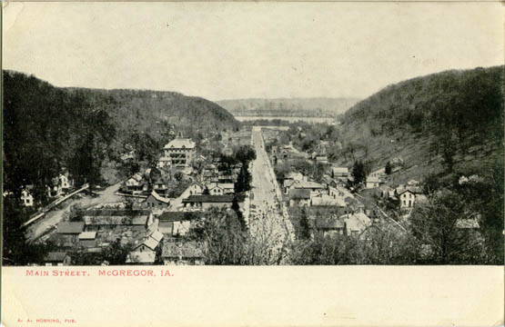
Main Street, McGregor |

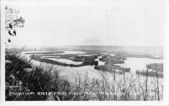
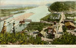
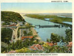
Mississippi River from Pikes Peak, McGregor |
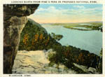
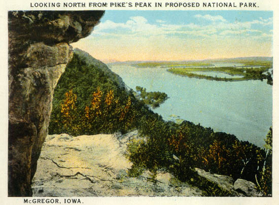
Looking North from Pikes Peak, McGregor |
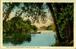
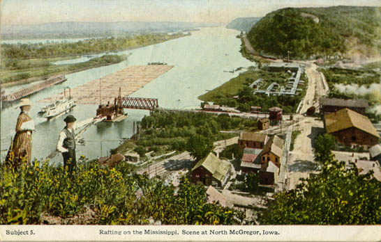
Drifting on the Mississippi River near McGregor |

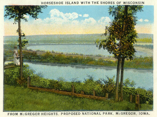
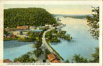
Horseshoe Island with the Shores of Wisconsin from McGregor Heights |
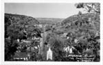
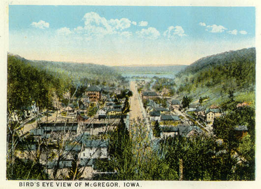
Birds Eye View, McGregor |
Main Street, McGregor |

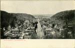
Birds Eye View, McGregor |
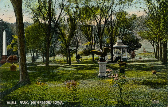
Buell Park, McGregor |
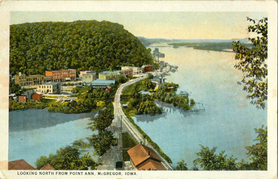
Looking North from Pt. Ann, McGregor |
Birds eye View, North McGregor |

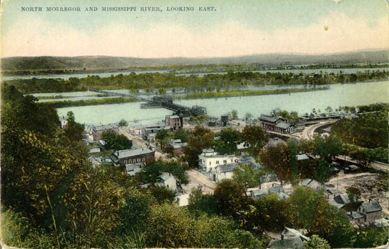
North McGregor, looking east |
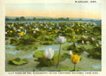
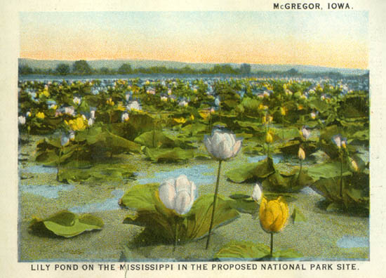
Lily Pond on the Mississippi River, McGregor |
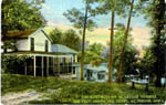
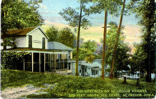
The Cottages on McGregor Heights, 2555 Feet above Sea Level, McGregor |
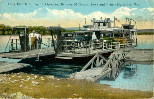
Ferry Boat Rob Roy Operating between McGregor, IA and Prairie du Chien, WI |
| Marquette |
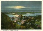
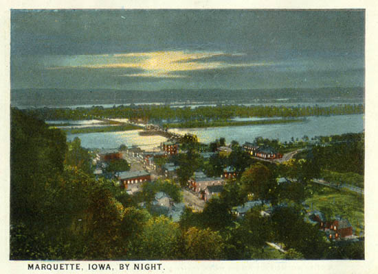
Marquette by Night |
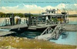
Marquette, Showing Pontoon Bridge across Mississippi River |
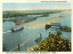
Rafting on the Mississippi, Passing through Pontoon Bridge, Marquette |
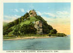
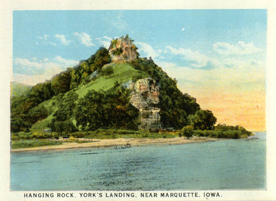
Hanging Rock, York's Landing, near Marquette |
| Strawberry Point |
Birds Eye View, Strawberry Point |

Strawberry Point Street Scene |
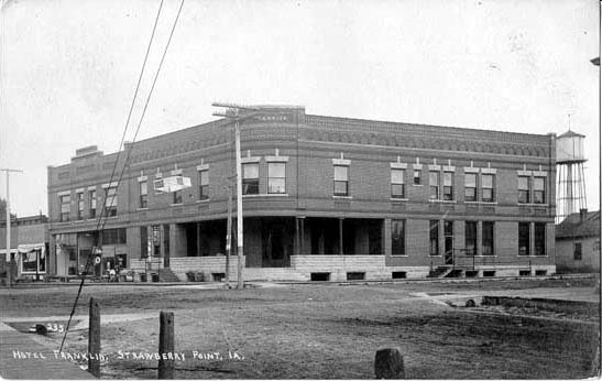
Hotel Franklin, Strawberry Point [1908] |

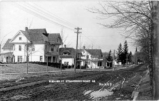
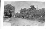
Elkader St., Strawberry Point |
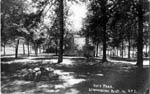
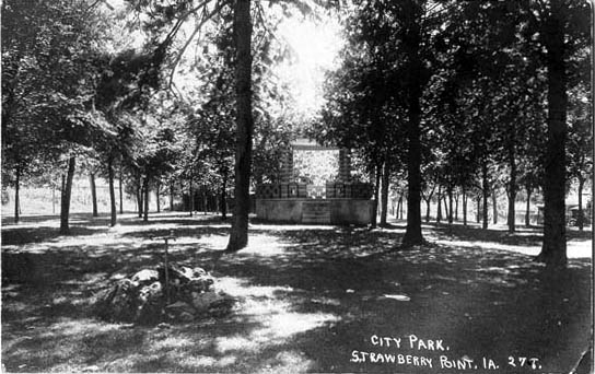
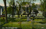
City Park, Strawberry Point |
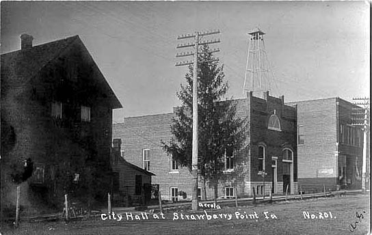
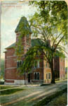
City Hall, Strawberry Point |

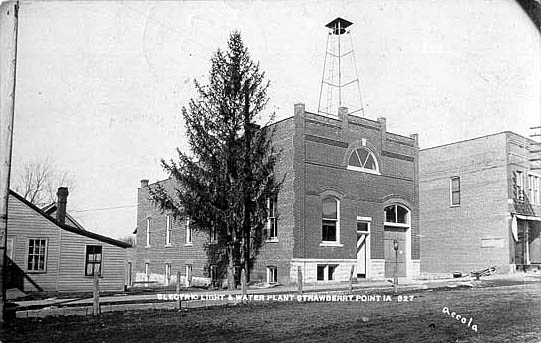
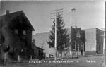
Electric Light & Water Plant, Strawberry Point |